Old Maps of Calhoun, Tennessee for Hiking & Exploration
Hike through history with 28 historic maps of Calhoun. Explore old trails, ghost towns, and forgotten backroads — perfect for outdoor adventurers and local explorers.
- Rediscover forgotten places: Map out old mining camps, roads, and footpaths that no longer exist on modern maps.
- Layer with modern tools: Combine with LiDAR or satellite views to plan hikes through historical terrain.
- Made for exploration: Popular among hikers, overlanders, and local history lovers.
Use these maps to find adventure and explore the hidden past of Calhoun.
Calhoun, TN maps
(28)- 1886 Map of Cleveland
 1886 Cleveland1886 Print · USGSSoutheast Tennessee in the mid-1880s was a landscape defined by the iron rails and winding rivers that fueled the region's growth. You can trace early river crossings like Savannah Ford and Kincannons Ferry or locate old community centers like Chestua Mills.
 - 1892 Map of Cleveland
 1892 Cleveland1892 Print · USGSSoutheast Tennessee is captured in the late nineteenth century as a landscape of river ferries and emerging rail junctions. Genealogists and historians can locate early settlements like Charleston and Riceville or trace the original river crossings at Kincannons Ferry and Helderbrand Ford.
 - 1895 Map of Cleveland
 1895 Cleveland1895 Print · USGSSoutheast Tennessee thrived along the Hiwassee River and its rail corridors during the 1890s. Genealogists and historians can trace defunct river crossings like Bunker Hill Ferry and milling sites including Chestuee Mills and Longs Mills.
 - 1901 Map of Cleveland
 1901 Cleveland1901 Print · USGSSoutheast Tennessee was a thriving hub of river and rail commerce at the dawn of the twentieth century. Genealogists can trace family homesteads near vanished landmarks like Marble Switch, Bunker Hill Ferry, or the early settlements of Riceville and Benton.4 unique versions available
 - 1935 Map of Calhoun
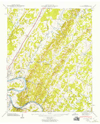
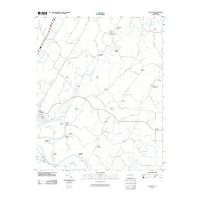
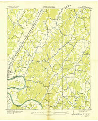 1935 Calhoun1935 Print · USGSEastern Tennessee in the mid-thirties was a region of small farming settlements and growing power networks. Researchers can trace early family landmarks like Squire Liner Hollow, the community at Sanford, and historic congregations at South Liberty Ch or Britton Ch.
 - 1935 Map of Charleston
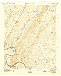
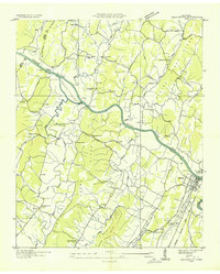 1935 Charleston1935 Print · USGSSoutheast Tennessee is captured here in the mid-1930s as the river-and-rail economy centered on the Hiwassee flourished. Genealogists and researchers can locate family landmarks like Bethel Ch, trace the old route of the Raht Ferry, or find rural schoolhouses such as Mouse Creek Sch.
 - 1942 Map of Charleston, 1960 Print
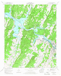
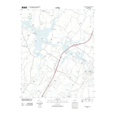
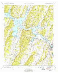 1942 Charleston1960 Print · USGSThe riverfront communities of Charleston and Calhoun are captured at a pivotal moment in the 1940s as the Hiwassee River meets the backwaters of the new reservoir. Researchers can trace the Southern railroad line and locate family-named sites like Godsey Cem and Blevins Chapel.2 unique versions available
 - 1943 Map of Charleston, 1946 Print
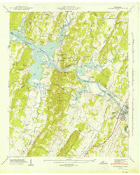 1943 Charleston1946 Print · USGSThe Tennessee riverfront and reservoir shoreline come alive in this mid-1940s survey of the Bradley and McMinn county lines. Genealogists can trace family roots at Maddux Cem, Mt Harmony Sch, and the riverside communities of Charleston and Calhoun.2 unique versions available
 - 1943 Map of Calhoun, 1960 Print
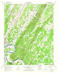
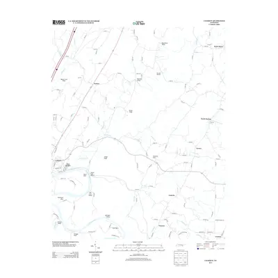
 1943 Calhoun1960 Print · USGSThe Hiwassee River valley at the onset of the 1940s reveals a rural landscape of ridges and river bends at the borders of McMinn and Bradley counties. Genealogists and historians can trace family locations near Whites Mill, Gentry Store, and the Womack Cem.2 unique versions available
 - 1944 Map of Calhoun, 1946 Print
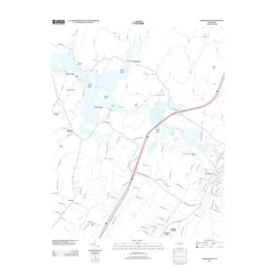
 1944 Calhoun1946 Print · USGSThe Hiwassee River corridor in the 1940s reveals a landscape of river bends and rural crossroads. Local historians can trace the foundations of the community at Whites Mill, the small rail siding at Sanford, and early schools like Claxton Sch.2 unique versions available
 - 1953 Map of Chattanooga
 1953 Chattanooga1953 Print · USGSSoutheast Tennessee in the early fifties shows a landscape reshaped by river management and rail power. Trace the rail lines of the Southern Ry through riverside towns or locate the preserved grounds of the Chickamauga and Chattanooga National Military Park.
 - 1957 Map of Chattanooga, 1966 Print
 1957 Chattanooga1966 Print · USGSEast Tennessee in the mid-1960s shows a landscape of massive hydroelectric reservoirs and emerging industrial sites like the Atomic Energy Commission (Oak Ridge Area). Trace the rail networks of the Southern Ry through Chattanooga or locate family-named ridges across the Cumberland Plateau.3 unique versions available
 - 1959 Map of Chattanooga
 1959 Chattanooga1959 Print · USGSSoutheast Tennessee is shown here during a decade of industrial growth and hydroelectric development. Trace the regional rail networks of the Southern Ry and find landmark sites like Lookout Mountain, Fall Creek Falls State Park, and Chattanooga.
 - 1960 Map of Chattanooga
 1960 Chattanooga1960 Print · USGSSoutheast Tennessee and the southern Appalachians are shown here at the height of the river-management era. You can trace the valley rail lines and locate Lookout Mountain and the expansive waters of Chickamauga Reservoir.
 - 1964 Map of Chattanooga
 1964 Chattanooga1964 Print · USGSSoutheast Tennessee and the western Carolinas appear in the mid-sixties as a powerhouse of river-driven industry and mountain wilderness. Genealogists and historians can trace rail-town lineages along the Southern Ry or locate family landmarks near Watts Bar Lake and Tellico Plains.
 - 1964 Map of Calhoun, 1966 Print
 1964 Calhoun1966 Print · USGSThe Hiwassee River valley at the height of the sixties serves as a vital rail and river corridor for Charleston and Calhoun. Genealogists can trace family landmarks across the ridges, including Old Swafford Cem, Walnut Grove Ch, and Waldrop Store.2 unique versions available
 - 1965 Map of Charleston, 1966 Print
 1965 Charleston1966 Print · USGSThe riverfront communities of Charleston and Calhoun are shown during a period of industrial growth along the Hiwassee in the mid-sixties. Genealogists and local historians can trace family sites like Skelton Memorial Cem, Bethel Springs, and the old Grays Ferry crossing.2 unique versions available
 - 1981 Map of Cleveland
 1981 Cleveland1981 Print · USGSSoutheast Tennessee and Western North Carolina are documented here in the early eighties, as the Tennessee Valley Authority managed the region's vast river and forest resources. Researchers can trace the rail lines of the Southern and Louisville and Nashville or locate industrial sites in the Copper Basin and settlements like Ducktown.2 unique versions available
 - 2010 Map of Calhoun, 2010 Print
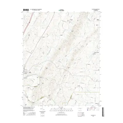
 2010 Calhoun2010 Print · USGSCovers Calhoun, including Charleston, Sanford, and other nearby areas
 - 2010 Map of Charleston, 2010 Print
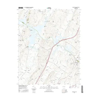
 2010 Charleston2010 Print · USGSCovers Calhoun, including Charleston, Lamontville, and other nearby areas
 - 2013 Map of Calhoun, 2013 Print
 2013 Calhoun2013 Print · USGSCovers Calhoun, including Charleston, Sanford, and other nearby areas
 - 2013 Map of Charleston, 2013 Print
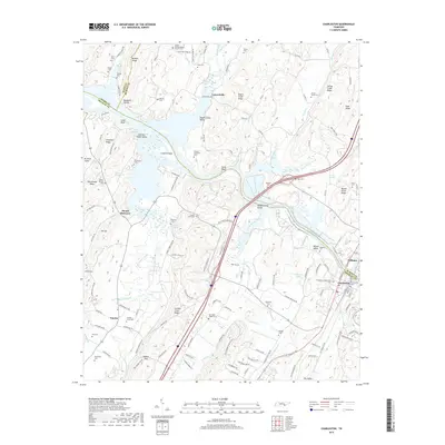
 2013 Charleston2013 Print · USGSCovers Calhoun, including Charleston, Lamontville, and other nearby areas
 - 2016 Map of Calhoun, 2016 Print
 2016 Calhoun2016 Print · USGSCovers Calhoun, including Charleston, Sanford, and other nearby areas
 - 2016 Map of Charleston, 2016 Print
 2016 Charleston2016 Print · USGSCovers Calhoun, including Charleston, Lamontville, and other nearby areas
 - 2019 Map of Charleston, 2019 Print
 2019 Charleston2019 Print · USGSCovers Calhoun, including Charleston, Lamontville, and other nearby areas
Showing maps 1-25 of 28
Top cities near Calhoun
- Cleveland historical maps
- Athens historical maps
- Etowah historical maps
- Decatur historical maps
- Benton historical maps
- Niota historical maps
See more
Top neighborhoods of Calhoun
Frequently asked questions
- What are the different types of historical maps available for Calhoun?
- What is the oldest map of Calhoun?
- Where can I purchase historical maps of Calhoun for my home or office?
- Where can I download high-res historical maps of Calhoun?
- Are there historical topographic maps available for Calhoun?
- Is there historical aerial imagery available for Calhoun?
- Where are historical maps of Calhoun sourced from?