2000s (21st Century) Maps of Niota, Tennessee
Explore 10 historic maps of Niota from the 2000s (21st Century). These maps offer a rare glimpse into what life looked like during the 2000s — showing old roads, neighborhoods, homes, and landmarks that have changed or disappeared over time.
Whether you're researching your family's past, planning a metal detecting trip, or studying how Niota's landscape evolved across the 2000s, these high-resolution maps are a powerful tool for exploring the history of this region.
- Focus on a specific era: All maps on this page are from the 2000s, giving you a focused view of this time period.
- See what’s changed: Compare century-old streets, trails, and buildings to today's modern landscape using overlays and satellite layers.
- Research with precision: Use these maps for genealogy, historical research, land use analysis, or educational projects.
- View, download, or print: Maps are fully viewable online in high resolution, and can be downloaded or printed for your own records.
Start exploring Niota's history through authentic maps from the 2000s. This is your window into the past.
Niota, TN maps
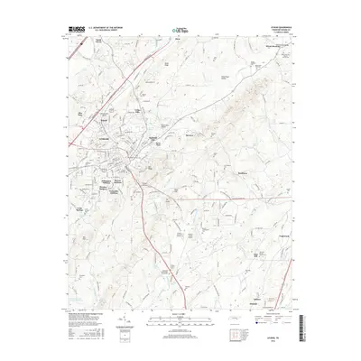
(10)- 2010 Map of Niota, 2010 Print
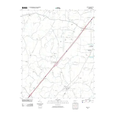 2010 Niota2010 Print · USGSCovers Niota, including Athens, Sweetwater, and other nearby areas
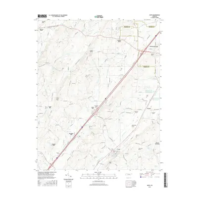
 - 2010 Map of Athens, 2010 Print
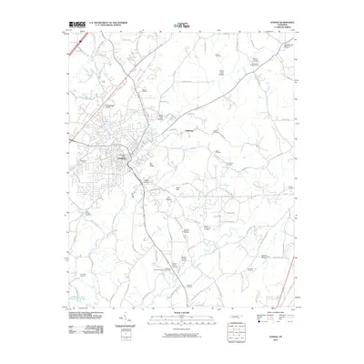 2010 Athens2010 Print · USGSCovers Niota, including Athens, Etowah, and other nearby areas
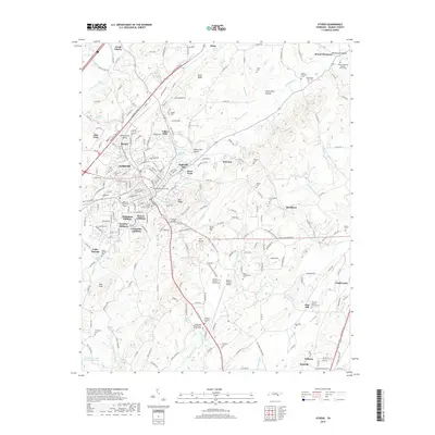
 - 2013 Map of Niota, 2013 Print
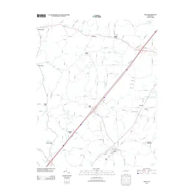 2013 Niota2013 Print · USGSCovers Niota, including Athens, Sweetwater, and other nearby areas
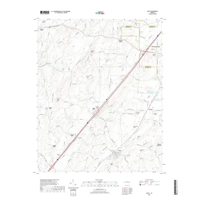
 - 2013 Map of Athens, 2013 Print
 2013 Athens2013 Print · USGSCovers Niota, including Athens, Etowah, and other nearby areas
 - 2016 Map of Athens, 2016 Print
 2016 Athens2016 Print · USGSCovers Niota, including Athens, Etowah, and other nearby areas
 - 2016 Map of Niota, 2016 Print
 2016 Niota2016 Print · USGSCovers Niota, including Athens, Sweetwater, and other nearby areas
 - 2019 Map of Athens, 2019 Print
 2019 Athens2019 Print · USGSCovers Niota, including Athens, Etowah, and other nearby areas
 - 2019 Map of Niota, 2019 Print
 2019 Niota2019 Print · USGSCovers Niota, including Athens, Sweetwater, and other nearby areas
 - 2022 Map of Athens, 2022 Print
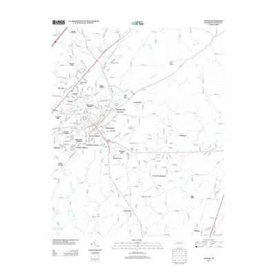
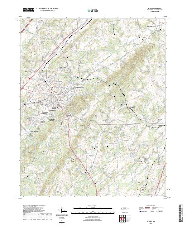 2022 Athens2022 Print · USGSModern-day Athens and its surrounding McMinn County hills are shown in detail here, reflecting a landscape shaped by education and local government. Researchers can trace family history through numerous rural landmarks like Cedar Grove Cem, Tennessee Wesleyan College, and the old Cedar Springs Methodist Church Cem.
 - 2022 Map of Niota, 2022 Print
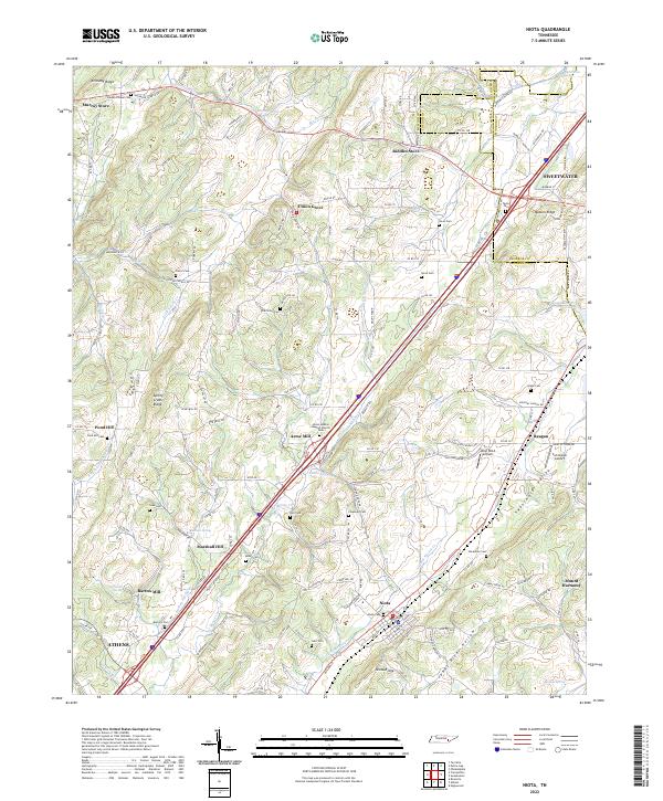 2022 Niota2022 Print · USGSThe rural valleys and ridges of McMinn County are shown here in detail during the early 2020s. Genealogists can locate numerous small burial grounds and landmarks like Union McMinn Baptist Church Cem, Acme Mill, and Riddles Store.
End of results
Showing maps 1-10 of 10
Top cities near Niota
- Athens historical maps
- Loudon historical maps
- Sweetwater historical maps
- Madisonville historical maps
- Etowah historical maps
- Englewood historical maps
See more
Frequently asked questions
- What are the different types of historical maps available for Niota?
- What is the oldest map of Niota?
- Where can I purchase historical maps of Niota for my home or office?
- Where can I download high-res historical maps of Niota?
- Are there historical topographic maps available for Niota?
- Is there historical aerial imagery available for Niota?
- Where are historical maps of Niota sourced from?