2000s (21st Century) Maps of Meigs County, Tennessee
Explore 65 historic maps of Meigs County from the 2000s (21st Century). These maps offer a rare glimpse into what life looked like during the 2000s — showing old roads, neighborhoods, homes, and landmarks that have changed or disappeared over time.
Whether you're researching your family's past, planning a metal detecting trip, or studying how Meigs County's landscape evolved across the 2000s, these high-resolution maps are a powerful tool for exploring the history of this region.
- Focus on a specific era: All maps on this page are from the 2000s, giving you a focused view of this time period.
- See what’s changed: Compare century-old streets, trails, and buildings to today's modern landscape using overlays and satellite layers.
- Research with precision: Use these maps for genealogy, historical research, land use analysis, or educational projects.
- View, download, or print: Maps are fully viewable online in high resolution, and can be downloaded or printed for your own records.
Start exploring Meigs County's history through authentic maps from the 2000s. This is your window into the past.
Meigs County, TN maps
(65)- 2010 Map of Grasshopper Creek, 2010 Print
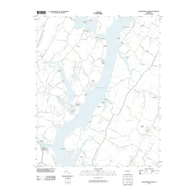 2010 Grasshopper Creek2010 Print · USGSChickamauga Lake and its many winding branches define the Hamilton County shoreline in the early twenty-first century. Researchers can trace family history through a high density of rural burial sites like Ball Hill Cemetery and Thatcher Cemetery.
 - 2010 Map of Graysville, 2010 Print
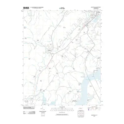 2010 Graysville2010 Print · USGSRhea County's river-valley landscape and upland ridges are captured here in the first decade of the millennium. Researchers can trace family roots through numerous local burial sites like Fairview Cemetery and Patterson Cemetery, or locate landmarks such as William Jennings Bryan University.
 - 2010 Map of Tranquillity, 2010 Print
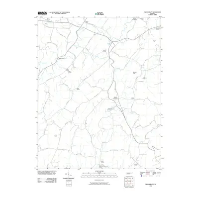 2010 Tranquillity2010 Print · USGSMeigs County at the start of the decade preserves a traditional landscape of upland ridges and family cemeteries. Genealogists can trace local lineages through sites like Hickory Flat Cemetery, Lockmiller Springs, and Tranquillity Methodist Church.
 - 2010 Map of Pattie Gap, 2010 Print
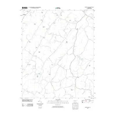 2010 Pattie Gap2010 Print · USGSRoane County at the start of the 2010s reveals a landscape of family-named ridges and valley settlements. Genealogists can trace family heritage through numerous burial sites like Mount Cumberland Cemetery, Deatherage Cemetery, and Raby Cemetery.
 - 2010 Map of Birchwood, 2010 Print
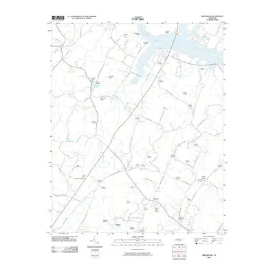 2010 Birchwood2010 Print · USGSThe Tennessee riverbank and rural hinterlands near Brittsville are captured here at the start of the 21st century. Genealogists can trace family footprints across dozens of local burial sites, including McClanehan Cemetery, Clint Hill Cemetery, and Swafford-David Cemetery.
 - 2010 Map of Evensville, 2010 Print
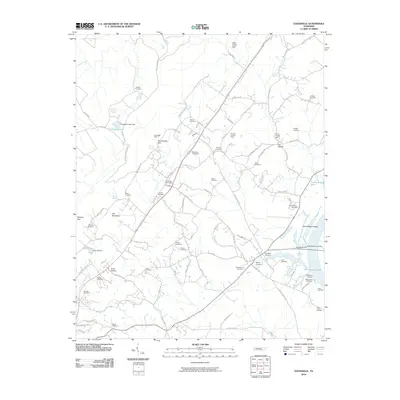 2010 Evensville2010 Print · USGSThe Tennessee River shoreline and the ridges of Rhea County are captured here in the early twenty-first century. Genealogists and historians can trace numerous family burial grounds like Newby Cemetery and Mynatt Cemetery alongside local landmarks such as Washington Ferry.
 - 2010 Map of Rockwood, 2010 Print
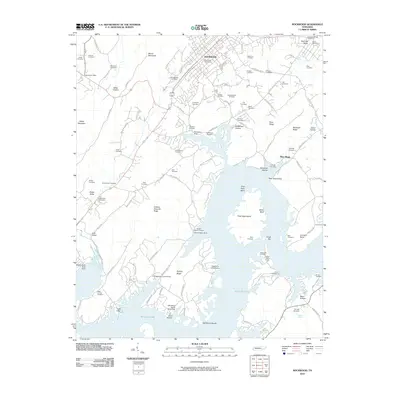 2010 Rockwood2010 Print · USGSThe Tennessee river valley near Rockwood is shown here as it appeared in the early 21st century, centered on the complex shoreline of Watts Bar Lake. Genealogists can trace dozens of family burial sites including Kimbrough Cemetery and Newcome Cemetery, or locate the historic Westel Post Office.
 - 2010 Map of Goodfield, 2010 Print
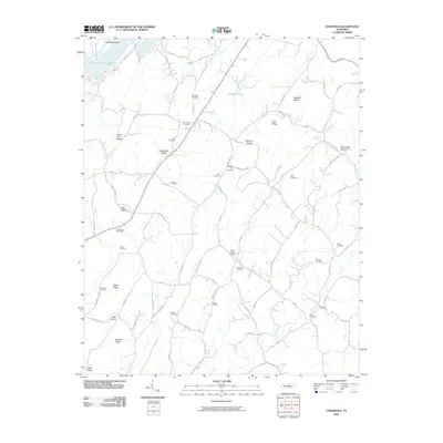 2010 Goodfield2010 Print · USGSMcMinn County remains a landscape of ridges and family cemeteries at the dawn of the 21st century. Genealogists and local historians can trace legacy sites like the Big Spring Post Office, Shiloh Cemetery, and Goodfield Valley.
 - 2010 Map of Decatur, 2010 Print
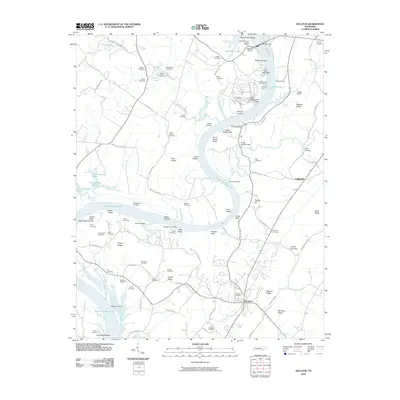 2010 Decatur2010 Print · USGSMeigs County's riverfront landscape is defined here by the massive waters of Chickamauga Lake and the engineering of the Watts Bar Dam. Researchers can trace decades of local history through dozens of family burial sites like Old Goodfield Cemetery and traditional river crossings such as Pinhook Ferry.
 - 2010 Map of Big Spring, 2010 Print
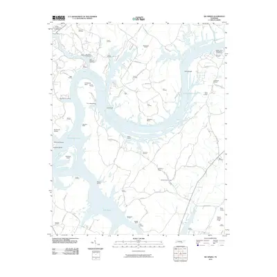 2010 Big Spring2010 Print · USGSThe Tennessee River valley north of Dayton comes into focus in the early twenty-first century, defined by the expansive waters of Chickamauga Lake. Genealogists can trace family footprints across dozens of sites like Cotton Port Cemetery and Burketts Chapel Cemetery.
 - 2010 Map of Charleston, 2010 Print
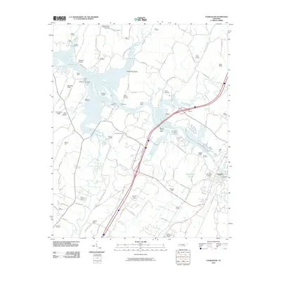 2010 Charleston2010 Print · USGSBradley County life centers on the banks of the Hiwassee River in the first decade of the millennium. Researchers can locate numerous family burial sites and rural landmarks, including the Bethel Springs Baptist Church, Maddux Cemetery, and Shelton Memorial Cemetery.
 - 2011 Map of Ten Mile, 2011 Print
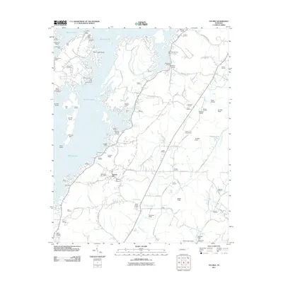 2011 Ten Mile2011 Print · USGSRhea County’s eastern shore along Watts Bar Lake comes into focus in this 2011 survey, showing a landscape defined by ridges and family-named landmarks. Genealogists can trace decades of local history through dozens of sites like Old Pleasant Hill Cemetery, Hornsby Chapel, and the Ten Mile Post Office.
 - 2011 Map of Spring City, 2011 Print
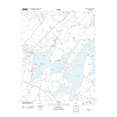 2011 Spring City2011 Print · USGSEastern Tennessee's riverfront life is on display here as the reservoir era shapes the landscape around Spring City. Genealogists and local historians can trace family roots through numerous sites like Rhea Springs Cemetery, Mars Hill Church, and Barker Island.
 - 2013 Map of Grasshopper Creek, 2013 Print
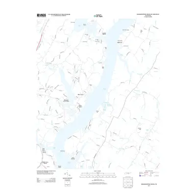 2013 Grasshopper Creek2013 Print · USGSThe Tennessee River shoreline north of Soddy-Daisy is captured here in the early twenty-first century as a series of residential and recreational havens. Genealogists and locals can trace the layout of Arcadia Shores, locate Dolly Pond, or identify family landmarks along Old Dayton Pike.
 - 2013 Map of Goodfield, 2013 Print
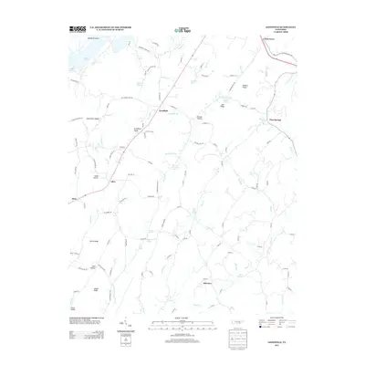 2013 Goodfield2013 Print · USGSMcMinn County settlements and ridge-top routes define this Tennessee landscape in the early 2010s. Researchers can trace genealogical footprints through family-named landmarks like Marler Spring, Elder Hollow, and the rural community of Goodfield Valley.
 - 2013 Map of Evensville, 2013 Print
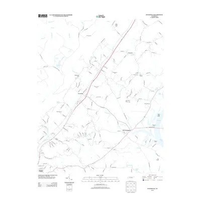 2013 Evensville2013 Print · USGSRhea County is shown just as the modern lakeside landscape of Dallas Lake matured in the early 2010s. Trace the deep local history of river crossings and small settlements through sites like Washington Ferry, Clear Creek Mill, and the community of Evensville.
 - 2013 Map of Tranquillity, 2013 Print
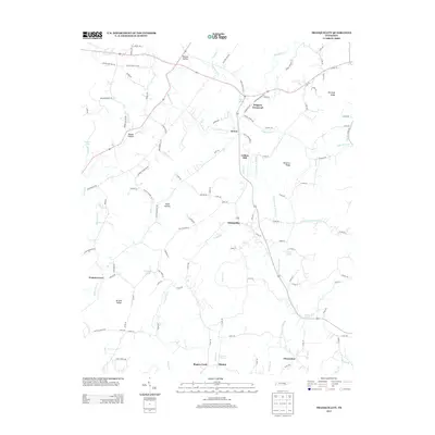 2013 Tranquillity2013 Print · USGSSoutheast Tennessee rural life is detailed here in the early twenty-first century, showing a landscape defined by ridges and valley springs. Genealogists can trace old family locales near Tranquillity, Collins Mill, and the Lockmiller Springs area.
 - 2013 Map of Rockwood, 2013 Print
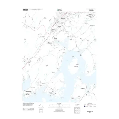 2013 Rockwood2013 Print · USGSRockwood and the surrounding valleys were evolving alongside the shores of Watts Bar Lake in the early 2010s. Researchers can trace the legacy of sites like Eagle Furnace, old settlements like Glen Alice, and prominent landmarks such as White Bluff.
 - 2013 Map of Graysville, 2013 Print
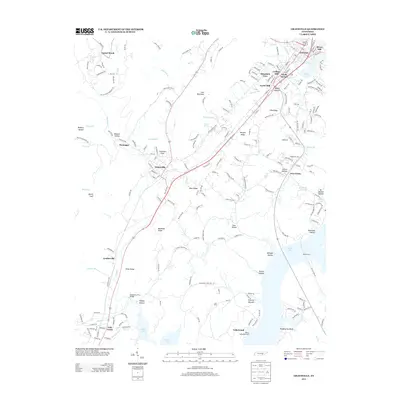 2013 Graysville2013 Print · USGSThe Tennessee River valley north of Chattanooga comes alive in this study of the landscape surrounding Graysville and Dayton. Researchers can trace old family sites and local landmarks like the Dougherty Ferry Bridge, Cranmore Cove, and Five Points.
 - 2013 Map of Birchwood, 2013 Print
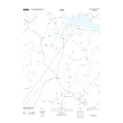 2013 Birchwood2013 Print · USGSThe Tennessee river valley near Brittsville and Birchwood is shown here in the early twenty-first century. Researchers can locate family-named landmarks like McCulley Ridge, Barger Knob, and the historic transit paths of Daugherty Ferry Rd.
 - 2013 Map of Spring City, 2013 Print
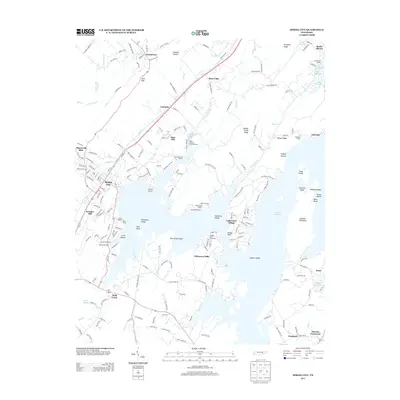 2013 Spring City2013 Print · USGSSpring City and the sprawling shoreline of Watts Bar Lake are captured here in the early twenty-first century. Genealogists and local historians can trace family-named sites across the water and hills, from Cemetery Island and Mars Hill to the rural intersection at Akeman Crossroad.
 - 2013 Map of Ten Mile, 2013 Print
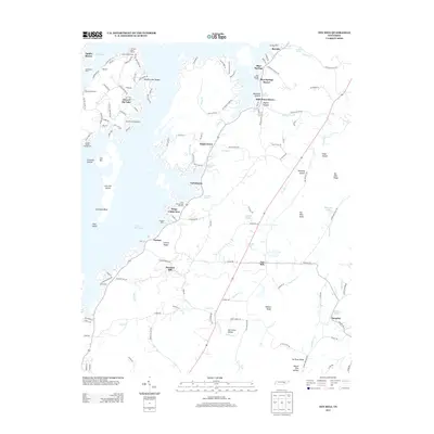 2013 Ten Mile2013 Print · USGSRhea County's lakeside communities and interior ridges are captured here during a period of modern recreational growth along the Tennessee River. Researchers can trace family sites near Ten Mile and Pleasant Hill, or locate local landmarks like Cedine Bible Camp and Ewing Cemetery Rd.
 - 2013 Map of Charleston, 2013 Print
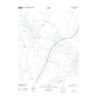 2013 Charleston2013 Print · USGSBradley County communities along the Hiwassee River are shown here as they appeared in the early 2010s. Researchers can locate named springs like Bradford Spring, river crossings at Raht Ferry, and residential areas such as Harbor Hills and Charleston.
 - 2013 Map of Decatur, 2013 Print
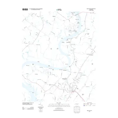 2013 Decatur2013 Print · USGSMeigs County settlement and the intricate shorelines of the Tennessee River valley are documented in the early twenty-first century. Genealogists can trace family-named landforms and small communities like Breedenton, Calico, and the historic Pinhook Ferry site.
 - 2013 Map of Pattie Gap, 2013 Print
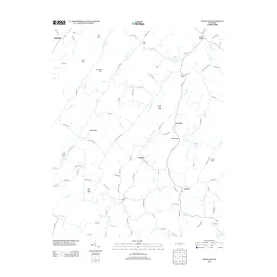 2013 Pattie Gap2013 Print · USGSRoane County's winding creek valleys and steep ridges are captured here in the early twenty-first century. Genealogists and local historians can trace the homesteads and hollows near Paint Rock, Cook Mill, and the many family-named landmarks like Galyon Ridge.
Showing maps 1-25 of 65
Top cities of Meigs County
Frequently asked questions
- What are the different types of historical maps available for Meigs County?
- What is the oldest map of Meigs County?
- Where can I purchase historical maps of Meigs County for my home or office?
- Where can I download high-res historical maps of Meigs County?
- Are there historical topographic maps available for Meigs County?
- Is there historical aerial imagery available for Meigs County?
- Where are historical maps of Meigs County sourced from?