Old Maps of Bucklick, Tennessee for Hiking & Exploration
Hike through history with 13 historic maps of Bucklick. Explore old trails, ghost towns, and forgotten backroads — perfect for outdoor adventurers and local explorers.
- Rediscover forgotten places: Map out old mining camps, roads, and footpaths that no longer exist on modern maps.
- Layer with modern tools: Combine with LiDAR or satellite views to plan hikes through historical terrain.
- Made for exploration: Popular among hikers, overlanders, and local history lovers.
Use these maps to find adventure and explore the hidden past of Bucklick.
Bucklick, TN maps
(13)- 1895 Map of Wartburg
 1895 Wartburg1895 Print · USGSThe Cumberland Plateau of the late nineteenth century comes to life through this record of high-country towns and rivers. Genealogists can trace early homesteads and rail stops from Oneida down to Wartburg, including the distinct colonies at Rugby and Allardt.
 - 1896 Map of Wartburg
 1896 Wartburg1896 Print · USGSThe Cumberland Plateau in the late nineteenth century is captured here as railroads began to transform the mountain economy. Trace the development of utopian Rugby, the county seat at Wartburg, and remote crossings like Island Ford or Big Lick Gap.6 unique versions available
 - 1936 Map of Twin Bridges
 1936 Twin Bridges1936 Print · USGSMorgan County life during the mid-1930s centered on the high ridges of the Cumberland Plateau and the waters of Clear Creek. Researchers can trace old mountain communities through sites like Deer Lodge, Island Ford Sch, and Lavender Ch.
 - 1943 Map of Twin Bridges, 1965 Print
 1943 Twin Bridges1965 Print · USGSMorgan County is captured here in the early 1940s, showing a rural landscape of ridges and river crossings before modern infrastructure. Researchers can trace family history through sites like Deer Lodge Academy, Adkins Mill, and the Shadeland Cem.4 unique versions available
 - 1945 Map of Twin Bridges, 1946 Print
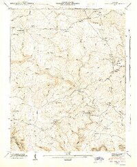 1945 Twin Bridges1946 Print · USGSThe Cumberland Plateau of Morgan County is captured here in the mid-1940s, showing a landscape of high divides and deep creek hollows. Local historians can trace early community life through Deer Lodge Academy, Adkins Mill, and Island Ford Sch.
 - 1956 Map of Corbin, 1966 Print
 1956 Corbin1966 Print · USGSThe Kentucky and Tennessee borderlands are captured here in the mid-fifties, showing the region's shift toward modern interstate travel and reservoir development. Genealogists and historians can trace old community lines near Albany and Monticello or locate early rail junctions along the Southern and Tennessee Central lines.3 unique versions available
 - 1958 Map of Corbin
 1958 Corbin1958 Print · USGSThe Upper Cumberland borderlands appear in the late 1950s as massive reservoirs and early atomic-era growth reshape the region. Trace family roots and vanished landmarks near Lake Cumberland, Oak Ridge, and the Cumberland National Forest.
 - 1979 Map of Oakridge, 1980 Print
 1979 Oakridge1980 Print · USGSThe eastern Tennessee highlands are captured here in the late 1970s, showcasing a landscape of coal mining and mountain conservation. Genealogists and researchers can locate family landmarks such as Potter Cem, Sunbright Sch, and the historic settlement of Rugby.
 - 2010 Map of Twin Bridges, 2010 Print
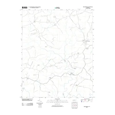 2010 Twin Bridges2010 Print · USGSDeer Lodge and the surrounding Morgan County plateau are shown here as they appeared in the early 21st century. Genealogists and local historians can locate numerous family burial sites such as Meister Hill Cemetery and Branstetters Cemetery, alongside rural landmarks like Lavender Bridge.
 - 2013 Map of Twin Bridges, 2013 Print
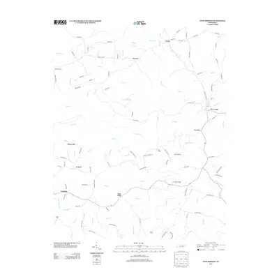 2013 Twin Bridges2013 Print · USGSMorgan County is shown here in the early 2010s, capturing a landscape of high ridges and deep creek valleys. Researchers can trace family-named routes and early river crossings like Twin Bridges, White Ford, and the settlement at Deer Lodge.
 - 2016 Map of Twin Bridges, 2016 Print
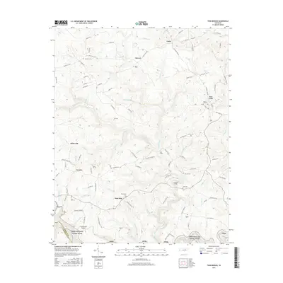 2016 Twin Bridges2016 Print · USGSThe Tennessee highlands on the Cumberland Plateau appear in detail during the mid-2010s, showing a landscape of deep creek valleys and small upland settlements. Researchers can trace family history through local landmarks like Adkins Mill, Bucklick, and the Lavender Cem.
 - 2019 Map of Twin Bridges, 2019 Print
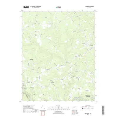 2019 Twin Bridges2019 Print · USGSMorgan County life on the Cumberland Plateau comes into focus in this recent survey. Genealogists can trace family lines through numerous upland burial sites like Meister Hill Cem and Branstetters Cem or locate the old Adkins Mill site.
 - 2022 Map of Twin Bridges, 2022 Print
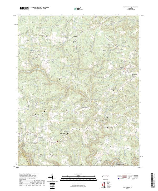 2022 Twin Bridges2022 Print · USGSThe Cumberland Plateau in the early 2020s remains a landscape of dispersed settlements and family land. Genealogists can locate family-named landmarks like Meister Hill Cem, Adkins Mill, and Howard Cem along the winding ridges near Deer Lodge.
End of results
Showing maps 1-13 of 13
Top cities near Bucklick
- Crossville historical maps
- Fairfield Glade historical maps
- Allardt historical maps
- Sunbright historical maps
Frequently asked questions
- What are the different types of historical maps available for Bucklick?
- What is the oldest map of Bucklick?
- Where can I purchase historical maps of Bucklick for my home or office?
- Where can I download high-res historical maps of Bucklick?
- Are there historical topographic maps available for Bucklick?
- Is there historical aerial imagery available for Bucklick?
- Where are historical maps of Bucklick sourced from?