2000s (21st Century) Maps of South Fulton, Tennessee
Explore 20 historic maps of South Fulton from the 2000s (21st Century). These maps offer a rare glimpse into what life looked like during the 2000s — showing old roads, neighborhoods, homes, and landmarks that have changed or disappeared over time.
Whether you're researching your family's past, planning a metal detecting trip, or studying how South Fulton's landscape evolved across the 2000s, these high-resolution maps are a powerful tool for exploring the history of this region.
- Focus on a specific era: All maps on this page are from the 2000s, giving you a focused view of this time period.
- See what’s changed: Compare century-old streets, trails, and buildings to today's modern landscape using overlays and satellite layers.
- Research with precision: Use these maps for genealogy, historical research, land use analysis, or educational projects.
- View, download, or print: Maps are fully viewable online in high resolution, and can be downloaded or printed for your own records.
Start exploring South Fulton's history through authentic maps from the 2000s. This is your window into the past.
South Fulton, TN maps
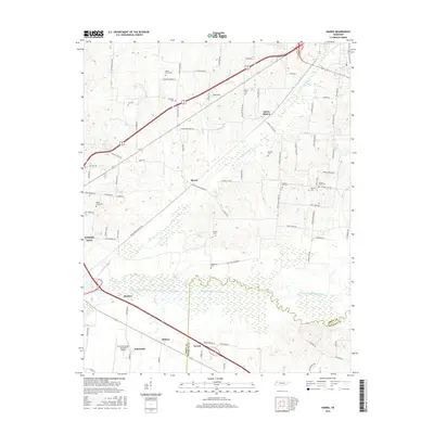
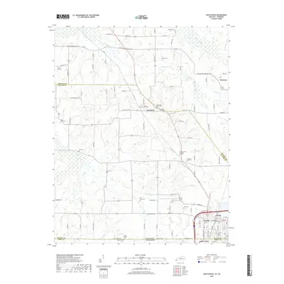
(20)- 2010 Map of Harris, 2010 Print
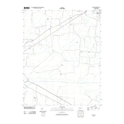 2010 Harris2010 Print · USGSCovers South Fulton, including Union City, Terrell, and other nearby areas
 - 2010 Map of McConnell, 2010 Print
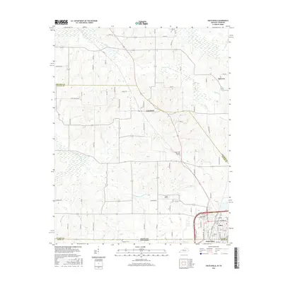
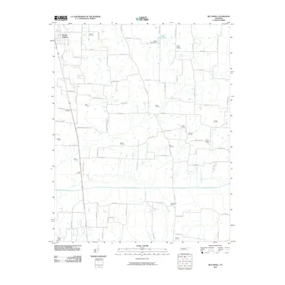 2010 McConnell2010 Print · USGSCovers South Fulton, including Chestnut Glade, Ruthville, and other nearby areas
 - 2010 Map of Water Valley, 2010 Print
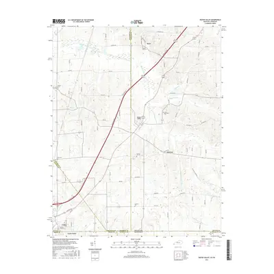
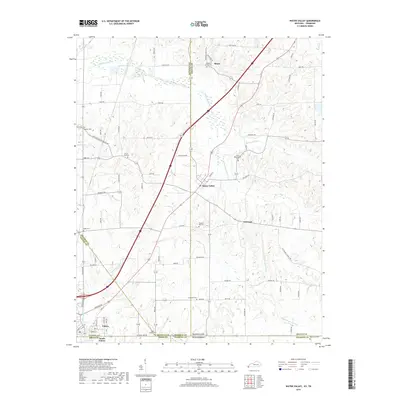
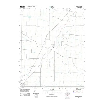 2010 Water Valley2010 Print · USGSCovers South Fulton, including Fulton, Water Valley, and other nearby areas
 - 2010 Map of Crutchfield, 2010 Print
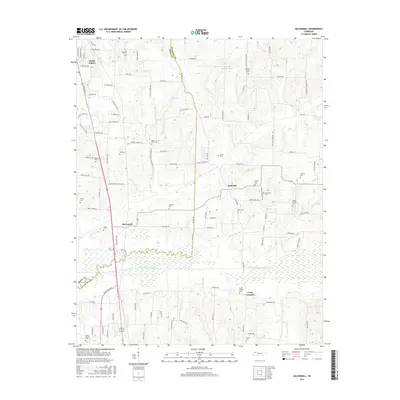
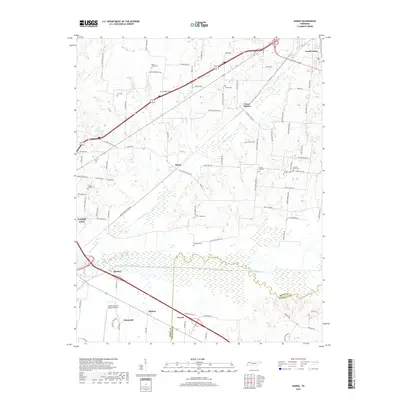
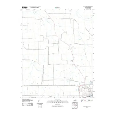 2010 Crutchfield2010 Print · USGSCovers South Fulton, including Fulton, Riceville, and other nearby areas
 - 2013 Map of Crutchfield, 2013 Print
 2013 Crutchfield2013 Print · USGSCovers South Fulton, including Fulton, Riceville, and other nearby areas
 - 2013 Map of Water Valley, 2013 Print
 2013 Water Valley2013 Print · USGSCovers South Fulton, including Fulton, Water Valley, and other nearby areas
 - 2013 Map of Harris, 2013 Print
 2013 Harris2013 Print · USGSCovers South Fulton, including Union City, Terrell, and other nearby areas
 - 2013 Map of McConnell, 2013 Print
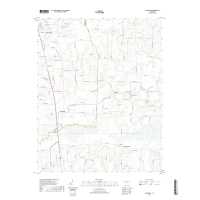
 2013 McConnell2013 Print · USGSCovers South Fulton, including Chestnut Glade, Ruthville, and other nearby areas
 - 2016 Map of Crutchfield, 2016 Print
 2016 Crutchfield2016 Print · USGSCovers South Fulton, including Fulton, Riceville, and other nearby areas
 - 2016 Map of Water Valley, 2016 Print
 2016 Water Valley2016 Print · USGSCovers South Fulton, including Fulton, Water Valley, and other nearby areas
 - 2016 Map of McConnell, 2016 Print
 2016 McConnell2016 Print · USGSCovers South Fulton, including Chestnut Glade, Ruthville, and other nearby areas
 - 2016 Map of Harris, 2016 Print
 2016 Harris2016 Print · USGSCovers South Fulton, including Union City, Terrell, and other nearby areas
 - 2019 Map of Crutchfield, 2019 Print
 2019 Crutchfield2019 Print · USGSCovers South Fulton, including Fulton, Riceville, and other nearby areas
 - 2019 Map of Water Valley, 2019 Print
 2019 Water Valley2019 Print · USGSCovers South Fulton, including Fulton, Water Valley, and other nearby areas
 - 2019 Map of McConnell, 2019 Print
 2019 McConnell2019 Print · USGSCovers South Fulton, including Chestnut Glade, Ruthville, and other nearby areas
 - 2019 Map of Harris, 2019 Print
 2019 Harris2019 Print · USGSCovers South Fulton, including Union City, Terrell, and other nearby areas
 - 2022 Map of McConnell, 2022 Print
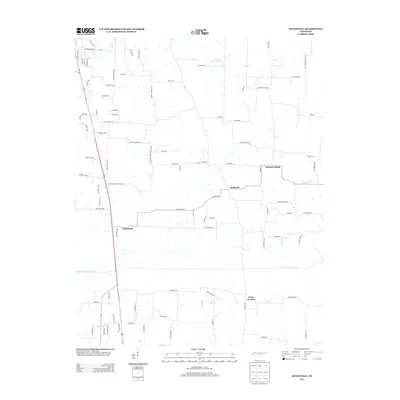
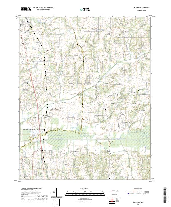 2022 McConnell2022 Print · USGSThis rural corridor of Weakley County and Obion County is shown in 2022 as it surrounds the meandering North Fork Obion River. Researchers can trace local lineage through a dense concentration of burial sites like New Hope Cem, Pate Cem, and Rucker Cem.
 - 2022 Map of Harris, 2022 Print
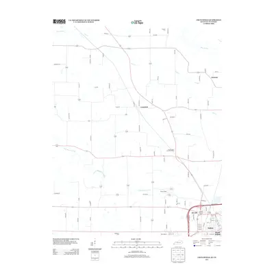
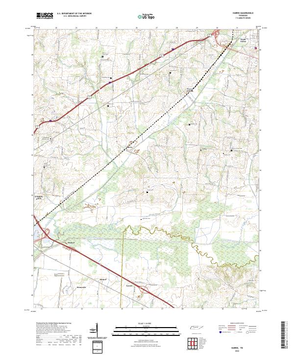 2022 Harris2022 Print · USGSObion County farmland and the Obion River bottomlands are captured here in the early twenty-first century. Researchers can trace ancestral sites through numerous small burial grounds like the Morris Slave Cem and Johnson Grove Cem or locate the quiet crossroads of Pierce Station and Harris.
 - 2022 Map of Crutchfield, 2022 Print
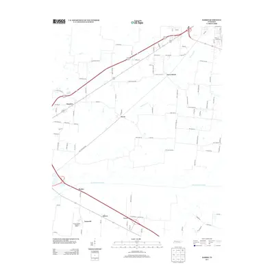
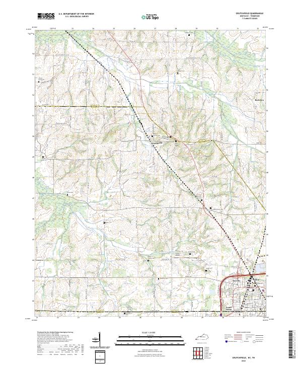 2022 Crutchfield2022 Print · USGSWestern Kentucky and northern Tennessee intersect in this 2020s survey of the rural corridor between Crutchfield and South Fulton. Researchers can trace dozens of family landmarks and cemeteries, including the Isham Browder Grave, Union Cem, and Blair Family Cem.
 - 2022 Map of Water Valley, 2022 Print
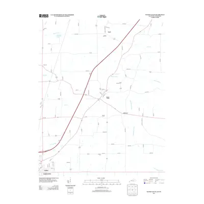
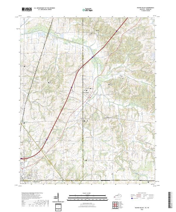 2022 Water Valley2022 Print · USGSThe borderlands of Kentucky and Tennessee come into focus in the early 2020s, centered on the community of Water Valley. Researchers can trace dozens of local burial sites and landmarks including Pleasant Hill Cemetery African American, Camp Beauregard Cemetery, and the historic Feliciana settlement area.
End of results
Showing maps 1-20 of 20
Top cities near South Fulton
- Union City historical maps
- Martin historical maps
- Mayfield historical maps
- Dresden historical maps
- Fulton historical maps
- Clinton historical maps
See more
Frequently asked questions
- What are the different types of historical maps available for South Fulton?
- What is the oldest map of South Fulton?
- Where can I purchase historical maps of South Fulton for my home or office?
- Where can I download high-res historical maps of South Fulton?
- Are there historical topographic maps available for South Fulton?
- Is there historical aerial imagery available for South Fulton?
- Where are historical maps of South Fulton sourced from?