Old Maps of South Fulton, Tennessee for Academic Research
Study the evolution of South Fulton with 31 high-resolution historic maps. Whether you're teaching, researching, or modeling changes in land use, these maps provide essential visual documentation of urban, environmental, and geographic change.
- Analyze long-term change: Track patterns in development, transportation, and natural features.
- Ideal for environmental or urban studies: Support academic projects with primary historical map data.
- Use in the classroom or lab: Educators and researchers rely on these maps to bring historical context to life.
These maps are a powerful tool for teaching, research, and visualizing how South Fulton has changed over the decades.
South Fulton, TN maps
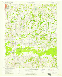
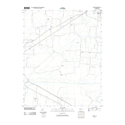
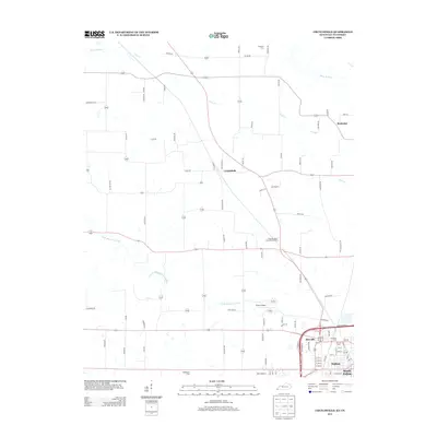
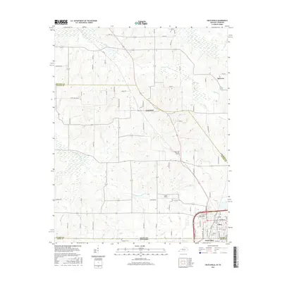
(31)- 1952 Map of Crutchfield, 1953 Print
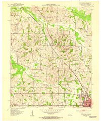 1952 Crutchfield1953 Print · USGSWestern Kentucky and the Tennessee borderlands are captured here in the early fifties during a period of steady rural growth. Researchers can trace local lineage through numerous landmarks like Huddleston Cem, Ledbetter Sch, and the Carr Institute in South Fulton.
 - 1952 Map of Water Valley, 1953 Print
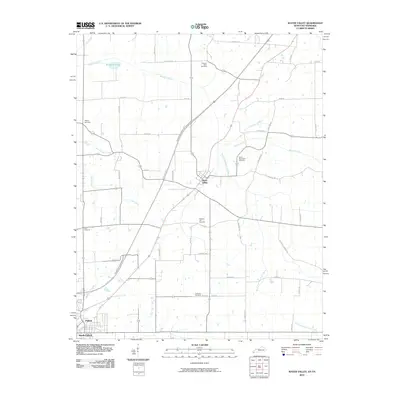
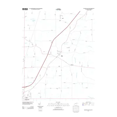
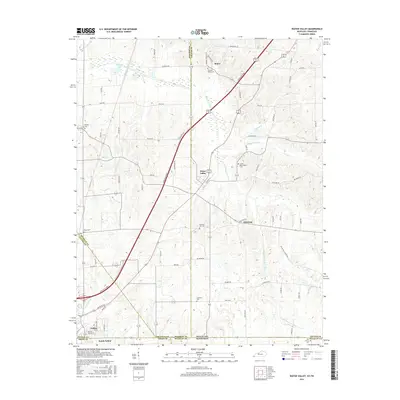
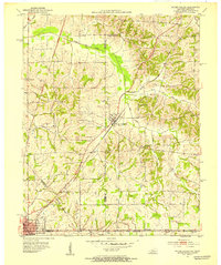 1952 Water Valley1953 Print · USGSIn the early 1950s, the border between Kentucky and Tennessee was a landscape of rail-driven towns and winding bayous. Genealogists and historians can trace family roots through landmarks like Camp Beauregard Cem, the settlement of Feliciana, and the Illinois Central rail line.
 - 1952 Map of Water Valley, 1957 Print
 1952 Water Valley1957 Print · USGSWestern Kentucky and northern Tennessee are captured here in the early fifties as the Illinois Central railroad linked farming hubs and small towns. Genealogists can trace family names through dozens of landmarks like Camp Beauregard Cem, McWhort Cem, and Shiloh Sch Ch.
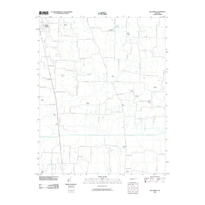
 - 1956 Map of Harris, 1958 Print
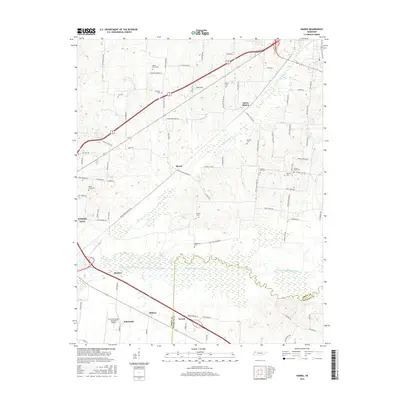
 1956 Harris1958 Print · USGSThe borderlands of Obion and Weakley Counties are shown in the mid-fifties, centered on the North Fork Obion River. Researchers can trace old rail lines like the Illinois Central and find family landmarks like Morris Slave Cem and Pierce Station.3 unique versions available
 - 1956 Map of Mc Connell, 1958 Print
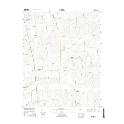
 1956 Mc Connell1958 Print · USGSWeakley County at the end of the steam era shows a landscape defined by the Illinois Central railroad and rural community centers. Genealogists can locate family landmarks like Chestnut Glade Sch, McFall Cem, and the church at Ruthville.3 unique versions available
 - 1956 Map of Dyersburg, 1960 Print
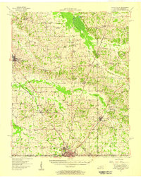
 1956 Dyersburg1960 Print · USGSThe Four Rivers region comes alive in the mid-fifties, capturing the intricate borderlands of Tennessee, Kentucky, and Missouri. Genealogists and historians can trace the rail-and-river networks connecting Dyersburg, Caruthersville, and the shoreline of Reelfoot Lake.4 unique versions available
 - 1969 Map of Water Valley, 1971 Print
 1969 Water Valley1971 Print · USGSThe Kentucky and Tennessee borderlands are captured here in the late sixties as the new parkway system began to reshape the rural landscape. Researchers can trace family history at Wesley Cem and Boaz Chapel or explore the site of Camp Beauregard near Water Valley.2 unique versions available
 - 1969 Map of Crutchfield, 1971 Print
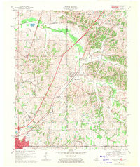
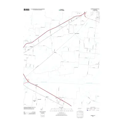
 1969 Crutchfield1971 Print · USGSCrossing the Kentucky-Tennessee border in the late 1960s, this survey highlights the bustling rail-and-river geography near the state line. Genealogists can trace family names through landmarks like Riceville, Crossland Cem, and Mt Carmel Ch.
 - 1972 Map of Martin
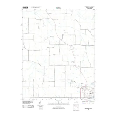
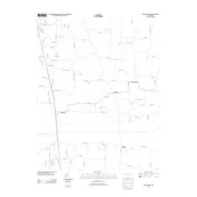
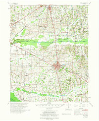 1972 Martin1972 Print · USGSWeakley and Obion Counties are captured here in the early 1970s as agricultural communities centered around the rail junction at Martin. Genealogists can trace family landmarks like Morris Slave Cem, Chestnut Glade Sch, and the Crockett Cem.
 - 1986 Map of McKenzie
 1986 McKenzie1986 Print · USGSWest Tennessee in the mid-eighties was a landscape defined by its deep river forks and the massive waters of Kentucky Lake. Researchers can trace the rail lines of the Louisville & Nashville RR and find local landmarks from Skullbone to the Paris Landing State Park.3 unique versions available
 - 1986 Map of Murray
 1986 Murray1986 Print · USGSWestern Kentucky in the mid-1980s reveals a landscape defined by the Tennessee and Cumberland rivers. Genealogists and historians can trace rail-town development along the Illinois Central Gulf RR and find family-named locations like Dukedom and Water Valley.2 unique versions available
 - 2010 Map of Harris, 2010 Print
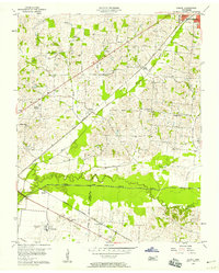
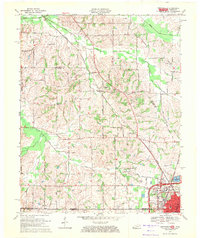
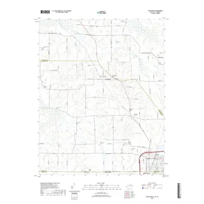
 2010 Harris2010 Print · USGSCovers South Fulton, including Union City, Terrell, and other nearby areas
 - 2010 Map of McConnell, 2010 Print
 2010 McConnell2010 Print · USGSCovers South Fulton, including Chestnut Glade, Ruthville, and other nearby areas
 - 2010 Map of Water Valley, 2010 Print
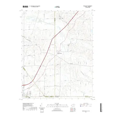
 2010 Water Valley2010 Print · USGSCovers South Fulton, including Fulton, Water Valley, and other nearby areas
 - 2010 Map of Crutchfield, 2010 Print
 2010 Crutchfield2010 Print · USGSCovers South Fulton, including Fulton, Riceville, and other nearby areas
 - 2013 Map of Crutchfield, 2013 Print
 2013 Crutchfield2013 Print · USGSCovers South Fulton, including Fulton, Riceville, and other nearby areas
 - 2013 Map of Water Valley, 2013 Print
 2013 Water Valley2013 Print · USGSCovers South Fulton, including Fulton, Water Valley, and other nearby areas
 - 2013 Map of Harris, 2013 Print
 2013 Harris2013 Print · USGSCovers South Fulton, including Union City, Terrell, and other nearby areas
 - 2013 Map of McConnell, 2013 Print
 2013 McConnell2013 Print · USGSCovers South Fulton, including Chestnut Glade, Ruthville, and other nearby areas
 - 2016 Map of Crutchfield, 2016 Print
 2016 Crutchfield2016 Print · USGSCovers South Fulton, including Fulton, Riceville, and other nearby areas
 - 2016 Map of Water Valley, 2016 Print
 2016 Water Valley2016 Print · USGSCovers South Fulton, including Fulton, Water Valley, and other nearby areas
 - 2016 Map of McConnell, 2016 Print
 2016 McConnell2016 Print · USGSCovers South Fulton, including Chestnut Glade, Ruthville, and other nearby areas
 - 2016 Map of Harris, 2016 Print
 2016 Harris2016 Print · USGSCovers South Fulton, including Union City, Terrell, and other nearby areas
 - 2019 Map of Crutchfield, 2019 Print
 2019 Crutchfield2019 Print · USGSCovers South Fulton, including Fulton, Riceville, and other nearby areas
 - 2019 Map of Water Valley, 2019 Print
 2019 Water Valley2019 Print · USGSCovers South Fulton, including Fulton, Water Valley, and other nearby areas
Showing maps 1-25 of 31
Top cities near South Fulton
- Union City historical maps
- Martin historical maps
- Mayfield historical maps
- Dresden historical maps
- Fulton historical maps
- Clinton historical maps
See more
Frequently asked questions
- What are the different types of historical maps available for South Fulton?
- What is the oldest map of South Fulton?
- Where can I purchase historical maps of South Fulton for my home or office?
- Where can I download high-res historical maps of South Fulton?
- Are there historical topographic maps available for South Fulton?
- Is there historical aerial imagery available for South Fulton?
- Where are historical maps of South Fulton sourced from?