Old Maps of South Fulton, Tennessee for Hiking & Exploration
Hike through history with 31 historic maps of South Fulton. Explore old trails, ghost towns, and forgotten backroads — perfect for outdoor adventurers and local explorers.
- Rediscover forgotten places: Map out old mining camps, roads, and footpaths that no longer exist on modern maps.
- Layer with modern tools: Combine with LiDAR or satellite views to plan hikes through historical terrain.
- Made for exploration: Popular among hikers, overlanders, and local history lovers.
Use these maps to find adventure and explore the hidden past of South Fulton.
South Fulton, TN maps
(31)- 1952 Map of Crutchfield, 1953 Print
 1952 Crutchfield1953 Print · USGSWestern Kentucky and the Tennessee borderlands are captured here in the early fifties during a period of steady rural growth. Researchers can trace local lineage through numerous landmarks like Huddleston Cem, Ledbetter Sch, and the Carr Institute in South Fulton.
 - 1952 Map of Water Valley, 1953 Print
 1952 Water Valley1953 Print · USGSIn the early 1950s, the border between Kentucky and Tennessee was a landscape of rail-driven towns and winding bayous. Genealogists and historians can trace family roots through landmarks like Camp Beauregard Cem, the settlement of Feliciana, and the Illinois Central rail line.
 - 1952 Map of Water Valley, 1957 Print
 1952 Water Valley1957 Print · USGSWestern Kentucky and northern Tennessee are captured here in the early fifties as the Illinois Central railroad linked farming hubs and small towns. Genealogists can trace family names through dozens of landmarks like Camp Beauregard Cem, McWhort Cem, and Shiloh Sch Ch.
 - 1956 Map of Harris, 1958 Print
 1956 Harris1958 Print · USGSThe borderlands of Obion and Weakley Counties are shown in the mid-fifties, centered on the North Fork Obion River. Researchers can trace old rail lines like the Illinois Central and find family landmarks like Morris Slave Cem and Pierce Station.3 unique versions available
 - 1956 Map of Mc Connell, 1958 Print
 1956 Mc Connell1958 Print · USGSWeakley County at the end of the steam era shows a landscape defined by the Illinois Central railroad and rural community centers. Genealogists can locate family landmarks like Chestnut Glade Sch, McFall Cem, and the church at Ruthville.3 unique versions available
 - 1956 Map of Dyersburg, 1960 Print
 1956 Dyersburg1960 Print · USGSThe Four Rivers region comes alive in the mid-fifties, capturing the intricate borderlands of Tennessee, Kentucky, and Missouri. Genealogists and historians can trace the rail-and-river networks connecting Dyersburg, Caruthersville, and the shoreline of Reelfoot Lake.4 unique versions available
 - 1969 Map of Water Valley, 1971 Print
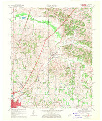 1969 Water Valley1971 Print · USGSThe Kentucky and Tennessee borderlands are captured here in the late sixties as the new parkway system began to reshape the rural landscape. Researchers can trace family history at Wesley Cem and Boaz Chapel or explore the site of Camp Beauregard near Water Valley.2 unique versions available
 - 1969 Map of Crutchfield, 1971 Print
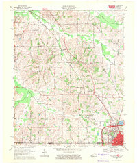 1969 Crutchfield1971 Print · USGSCrossing the Kentucky-Tennessee border in the late 1960s, this survey highlights the bustling rail-and-river geography near the state line. Genealogists can trace family names through landmarks like Riceville, Crossland Cem, and Mt Carmel Ch.
 - 1972 Map of Martin
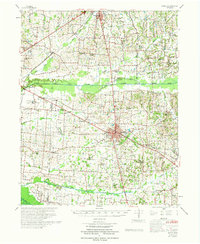 1972 Martin1972 Print · USGSWeakley and Obion Counties are captured here in the early 1970s as agricultural communities centered around the rail junction at Martin. Genealogists can trace family landmarks like Morris Slave Cem, Chestnut Glade Sch, and the Crockett Cem.
 - 1986 Map of McKenzie
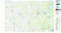 1986 McKenzie1986 Print · USGSWest Tennessee in the mid-eighties was a landscape defined by its deep river forks and the massive waters of Kentucky Lake. Researchers can trace the rail lines of the Louisville & Nashville RR and find local landmarks from Skullbone to the Paris Landing State Park.3 unique versions available
 - 1986 Map of Murray
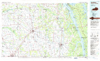 1986 Murray1986 Print · USGSWestern Kentucky in the mid-1980s reveals a landscape defined by the Tennessee and Cumberland rivers. Genealogists and historians can trace rail-town development along the Illinois Central Gulf RR and find family-named locations like Dukedom and Water Valley.2 unique versions available
 - 2010 Map of Harris, 2010 Print
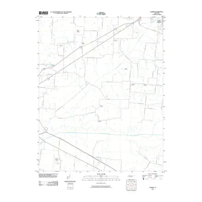 2010 Harris2010 Print · USGSObion County's river-bottom lands and upland farms are captured here during a period of modern aerial surveying. Genealogists can locate several family burial sites, including the Morris Slave Cemetery, Pierce Cemetery, and Arnold Cemetery.
 - 2010 Map of McConnell, 2010 Print
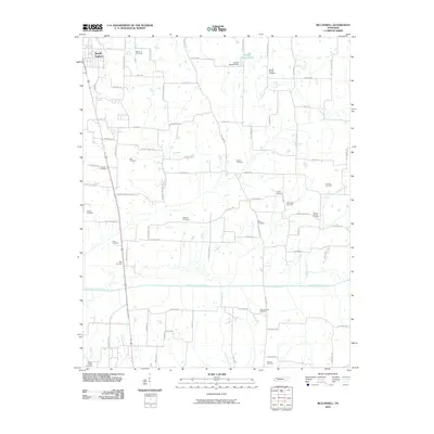 2010 McConnell2010 Print · USGSNorthwest Tennessee’s rural landscape is captured here in the early twenty-first century, centered on the fertile valley of the North Fork Obion River. Researchers can trace deep family roots through numerous local sites including Mount Moriah Cemetery, Obion Chapel Cemetery, and Harold Muzzall Lake.
 - 2010 Map of Water Valley, 2010 Print
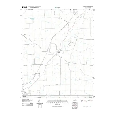 2010 Water Valley2010 Print · USGSWestern Kentucky and Tennessee farmland is documented here in the era following the development of the Purchase Pkwy. Genealogists can locate several family and community landmarks, such as Camp Beauregard Cemetery, Water Valley, and Stephens Lake.
 - 2010 Map of Crutchfield, 2010 Print
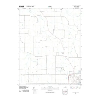 2010 Crutchfield2010 Print · USGSThe border communities of Fulton and South Fulton are shown in 2010, at a time when traditional agriculture and modern transport met. Researchers can trace family sites at Crossland Cemetery and Huddleston Cemetery or locate landmarks like Fulton Airport.
 - 2013 Map of Crutchfield, 2013 Print
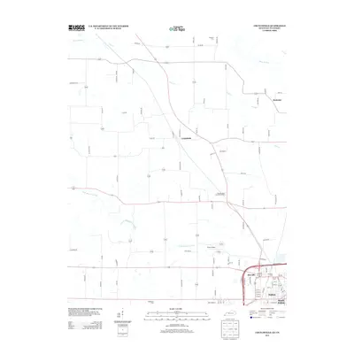 2013 Crutchfield2013 Print · USGSFulton and the surrounding Kentucky-Tennessee borderlands appear here in the early twenty-first century, showing a mix of established rail-town growth and rural farmstead heritage. Researchers can trace family sites at Crossland Cem or locate the small settlements of Beelerton and Crutchfield along the banks of Cane Cr.
 - 2013 Map of Water Valley, 2013 Print
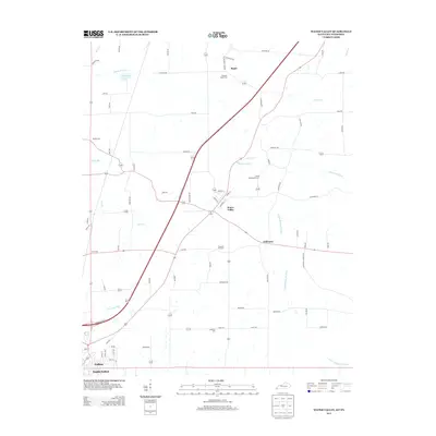 2013 Water Valley2013 Print · USGSWestern Kentucky's agricultural heartland is documented here in the early twenty-first century as modern highways began to bypass historic hamlets. Researchers can trace ancestral sites at Camp Beauregard Cem, the small community of Feliciana, and the banks of the Bayou de Chien.
 - 2013 Map of Harris, 2013 Print
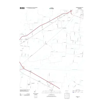 2013 Harris2013 Print · USGSObion County, Tennessee, is captured here in the early twenty-first century, showing a landscape defined by historic hamlets and the North Fork Obion River. Genealogists can trace family-named roads and rural settlements like Pierce Station, Harris, and Chambers.
 - 2013 Map of McConnell, 2013 Print
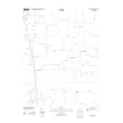 2013 McConnell2013 Print · USGSObion County at the start of the 2010s shows a landscape of river-bottom lowlands and rural community hubs. Genealogists and researchers can trace local landmarks like McConnell, Ruthville, and Chestnut Glade alongside the North Fork Obion River.
 - 2016 Map of Crutchfield, 2016 Print
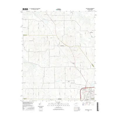 2016 Crutchfield2016 Print · USGSThe Kentucky-Tennessee borderlands near Fulton and South Fulton are captured here in the mid-2010s. Genealogists can trace family landmarks like Crossland Cem and Huddleston Cem or the rural streets of Crutchfield and Beelerton.
 - 2016 Map of Water Valley, 2016 Print
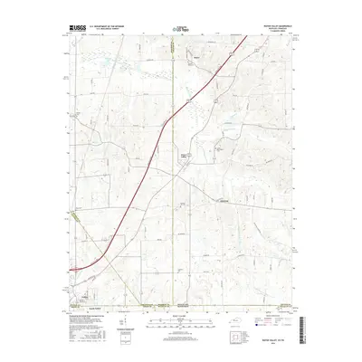 2016 Water Valley2016 Print · USGSWestern Kentucky’s rural landscape comes alive in this mid-2010s survey of the Bayou de Chien watershed. Genealogists can trace family footprints at Camp Beauregard Cem and Pleasant Hill Cem, or explore the old road networks around Water Valley.
 - 2016 Map of McConnell, 2016 Print
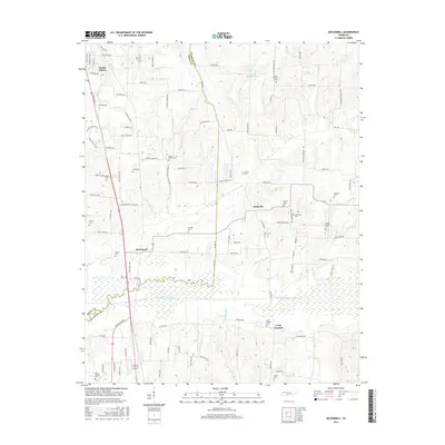 2016 McConnell2016 Print · USGSThe Tennessee-Kentucky borderlands south of Fulton come alive in this map of the late twenty-teens. Researchers can trace family roots through numerous local sites like McConnell, South Fulton Cem, and the North Fork Obion River wetlands.
 - 2016 Map of Harris, 2016 Print
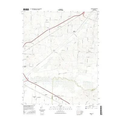 2016 Harris2016 Print · USGSObion and Weakley counties appear here in the mid-2010s, defined by the wetlands of the North Fork Obion River. Genealogists and local historians can trace legacy sites like the Morris Slave Cem and the small rural centers of Pierce Station and Terrell.
 - 2019 Map of Crutchfield, 2019 Print
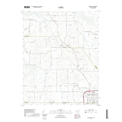 2019 Crutchfield2019 Print · USGSThe Kentucky-Tennessee border region comes into focus in this late 2010s survey of the bustling rail and road hub around Fulton. Researchers can trace family history through numerous rural landmarks like the Binford Family Cem, the Isham Browder Grave, and the community of Crutchfield.
 - 2019 Map of Water Valley, 2019 Print
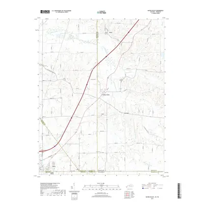 2019 Water Valley2019 Print · USGSWestern Kentucky and northern Tennessee meet along the rural bayous and state line roads during the late 2010s. Researchers can trace ancestral sites across several historic burial grounds like Camp Beauregard Cem and Pleasant Hill Cem or locate old community centers like Feliciana.
Showing maps 1-25 of 31
Top cities near South Fulton
- Union City historical maps
- Martin historical maps
- Mayfield historical maps
- Dresden historical maps
- Fulton historical maps
- Clinton historical maps
See more
Frequently asked questions
- What are the different types of historical maps available for South Fulton?
- What is the oldest map of South Fulton?
- Where can I purchase historical maps of South Fulton for my home or office?
- Where can I download high-res historical maps of South Fulton?
- Are there historical topographic maps available for South Fulton?
- Is there historical aerial imagery available for South Fulton?
- Where are historical maps of South Fulton sourced from?