Old Maps of Troy, Tennessee for Metal Detecting
Plan your next treasure hunt with 16 historic maps of Troy. Find old homesites, ghost towns, trails, and gathering spots that may be lost to time — perfect for identifying promising metal detecting locations.
- Locate forgotten sites: Uncover places like long-lost settlements, abandoned rail lines, or gathering spots.
- Plan better hunts: Use map overlays combined with LiDAR or satellite views to narrow in on historically rich areas.
- Made for detectorists: Thousands of hobbyists use these maps to discover relics, coins, and hidden history.
Use these historic maps to boost your research and find new opportunities beneath the surface of Troy.
Troy, TN maps
(16)- 1950 Map of Obion
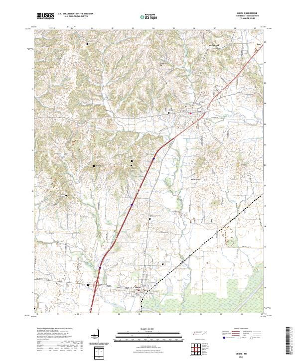
 1950 Obion1950 Print · USGSObion County at the midpoint of the century shows a landscape transitioning between traditional river life and modern infrastructure. Genealogists can locate family-named sites such as Beard Cem, Rose Hill Cem, and the community around Englewood Ch.2 unique versions available
 - 1950 Map of Rives, 1970 Print
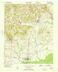
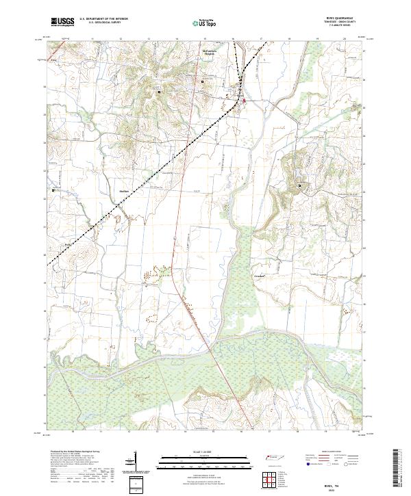
 1950 Rives1970 Print · USGSRives and the surrounding Obion County bottomlands are captured here during the mid-century as the region's rail-and-river economy flourished. Genealogists and historians can trace family-named sites like McCutchen Heights, Pleasant Hill Ch, and the intersection of two major railroads at Rives.2 unique versions available
 - 1951 Map of Obion
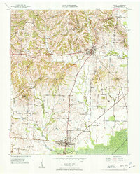
 1951 Obion1951 Print · USGSObion County's river-bottoms and upland farms are captured here in the early fifties as the local rail-and-road network matured. Researchers can trace rural lineages through numerous family-named landmarks like Beard Cem, Simpson Cem, and the church at Ebenezer Ch.
 - 1951 Map of Rives
 1951 Rives1951 Print · USGSObion County at the start of the 1950s shows a landscape of rail junctions and reclaimed river bottomlands. Researchers can locate family-named settlements like Moffatt and Polk or trace the early church and cemetery locations at Pleasant Hill Ch and Sardis Cem.
 - 1956 Map of Dyersburg, 1960 Print
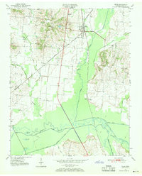
 1956 Dyersburg1960 Print · USGSThe Four Rivers region comes alive in the mid-fifties, capturing the intricate borderlands of Tennessee, Kentucky, and Missouri. Genealogists and historians can trace the rail-and-river networks connecting Dyersburg, Caruthersville, and the shoreline of Reelfoot Lake.4 unique versions available
 - 1983 Map of Dyersburg
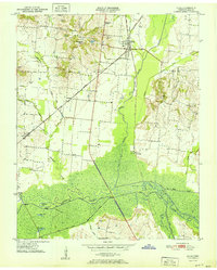
 1983 Dyersburg1983 Print · USGSSpanning the Mississippi River at the start of the 1980s, this area shows the vital river-and-rail connections between Tennessee and Missouri. Researchers can trace family sites at Mount Pisgah Cemetery or study the evolving shoreline near Caruthersville and Reelfoot Lake.
 - 2010 Map of Obion, 2010 Print
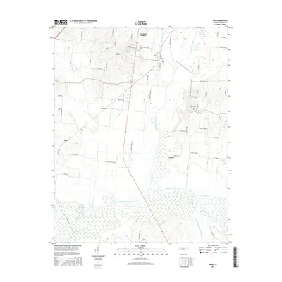
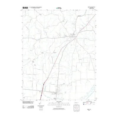 2010 Obion2010 Print · USGSCovers Troy, including Obion, Mount Moriah, and other nearby areas
 - 2010 Map of Rives, 2010 Print
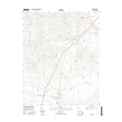
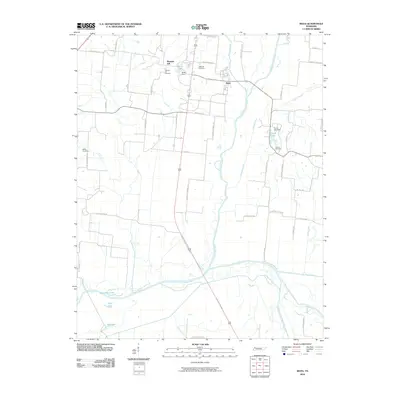 2010 Rives2010 Print · USGSCovers Troy, including Rives, McCutchen Heights, and other nearby areas
 - 2013 Map of Rives, 2013 Print
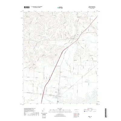
 2013 Rives2013 Print · USGSCovers Troy, including Rives, McCutchen Heights, and other nearby areas
 - 2013 Map of Obion, 2013 Print
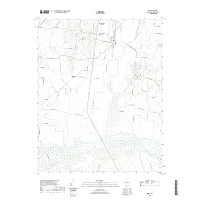
 2013 Obion2013 Print · USGSCovers Troy, including Obion, Mount Moriah, and other nearby areas
 - 2016 Map of Rives, 2016 Print
 2016 Rives2016 Print · USGSCovers Troy, including Rives, McCutchen Heights, and other nearby areas
 - 2016 Map of Obion, 2016 Print
 2016 Obion2016 Print · USGSCovers Troy, including Obion, Mount Moriah, and other nearby areas
 - 2019 Map of Obion, 2019 Print
 2019 Obion2019 Print · USGSCovers Troy, including Obion, Mount Moriah, and other nearby areas
 - 2019 Map of Rives, 2019 Print
 2019 Rives2019 Print · USGSCovers Troy, including Rives, McCutchen Heights, and other nearby areas
 - 2022 Map of Rives, 2022 Print
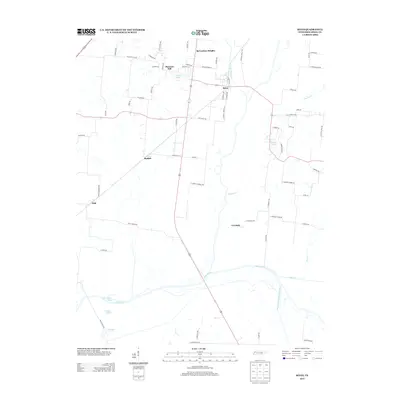
 2022 Rives2022 Print · USGSObion County's river bottoms and rural communities are captured here in the early twenty-first century. Researchers can trace family history through local landmarks like Sardis Cem or follow the wetlands surrounding the North Fork Obion River.
 - 2022 Map of Obion, 2022 Print
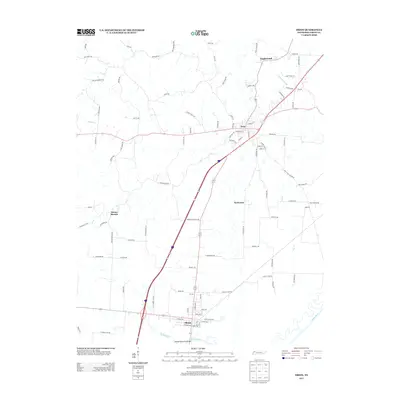
 2022 Obion2022 Print · USGSObion County at the start of the 2020s shows a landscape deeply tied to its rural roots and the Obion River bottomlands. Genealogists can trace family heritage through numerous burial sites including Bethlehem Cem, Rose Hill Cem, and Fox Cem.
End of results
Showing maps 1-16 of 16
Top cities near Troy
- Union City historical maps
- Newbern historical maps
- Hickman historical maps
- Rutherford historical maps
- Obion historical maps
- Hornbeak historical maps
See more
Frequently asked questions
- What are the different types of historical maps available for Troy?
- What is the oldest map of Troy?
- Where can I purchase historical maps of Troy for my home or office?
- Where can I download high-res historical maps of Troy?
- Are there historical topographic maps available for Troy?
- Is there historical aerial imagery available for Troy?
- Where are historical maps of Troy sourced from?