Old Maps of Union City, Tennessee for Academic Research
Study the evolution of Union City with 16 high-resolution historic maps. Whether you're teaching, researching, or modeling changes in land use, these maps provide essential visual documentation of urban, environmental, and geographic change.
- Analyze long-term change: Track patterns in development, transportation, and natural features.
- Ideal for environmental or urban studies: Support academic projects with primary historical map data.
- Use in the classroom or lab: Educators and researchers rely on these maps to bring historical context to life.
These maps are a powerful tool for teaching, research, and visualizing how Union City has changed over the decades.
Union City, TN maps
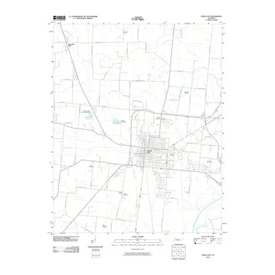
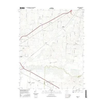
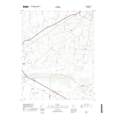
(16)- 1954 Map of Union City, 1955 Print
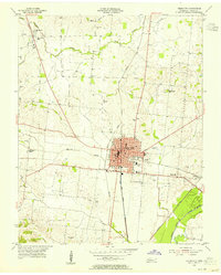 1954 Union City1955 Print · USGSMid-century Obion County comes alive in this survey of Union City and its surrounding rail corridors. Researchers can trace the heritage of local families through landmarks like East View Cemetery, McDowell Chapel, and Woodland Mills.2 unique versions available
 - 1956 Map of Harris, 1958 Print
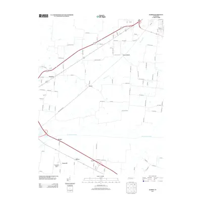
 1956 Harris1958 Print · USGSThe borderlands of Obion and Weakley Counties are shown in the mid-fifties, centered on the North Fork Obion River. Researchers can trace old rail lines like the Illinois Central and find family landmarks like Morris Slave Cem and Pierce Station.3 unique versions available
 - 1956 Map of Dyersburg, 1960 Print
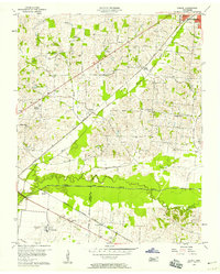
 1956 Dyersburg1960 Print · USGSThe Four Rivers region comes alive in the mid-fifties, capturing the intricate borderlands of Tennessee, Kentucky, and Missouri. Genealogists and historians can trace the rail-and-river networks connecting Dyersburg, Caruthersville, and the shoreline of Reelfoot Lake.4 unique versions available
 - 1972 Map of Martin
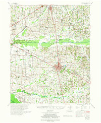 1972 Martin1972 Print · USGSWeakley and Obion Counties are captured here in the early 1970s as agricultural communities centered around the rail junction at Martin. Genealogists can trace family landmarks like Morris Slave Cem, Chestnut Glade Sch, and the Crockett Cem.
 - 1983 Map of Dyersburg
 1983 Dyersburg1983 Print · USGSSpanning the Mississippi River at the start of the 1980s, this area shows the vital river-and-rail connections between Tennessee and Missouri. Researchers can trace family sites at Mount Pisgah Cemetery or study the evolving shoreline near Caruthersville and Reelfoot Lake.
 - 1986 Map of McKenzie
 1986 McKenzie1986 Print · USGSWest Tennessee in the mid-eighties was a landscape defined by its deep river forks and the massive waters of Kentucky Lake. Researchers can trace the rail lines of the Louisville & Nashville RR and find local landmarks from Skullbone to the Paris Landing State Park.3 unique versions available
 - 2010 Map of Harris, 2010 Print
 2010 Harris2010 Print · USGSCovers Union City, including South Fulton, Terrell, and other nearby areas
 - 2010 Map of Union City, 2010 Print
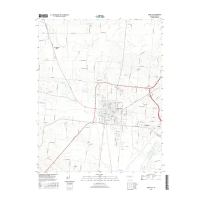
 2010 Union City2010 Print · USGSCovers Union City, including Woodland Mills, Gibbs, and other nearby areas
 - 2013 Map of Harris, 2013 Print
 2013 Harris2013 Print · USGSCovers Union City, including South Fulton, Terrell, and other nearby areas
 - 2013 Map of Union City, 2013 Print
 2013 Union City2013 Print · USGSCovers Union City, including Woodland Mills, Gibbs, and other nearby areas
 - 2016 Map of Union City, 2016 Print
 2016 Union City2016 Print · USGSCovers Union City, including Woodland Mills, Gibbs, and other nearby areas
 - 2016 Map of Harris, 2016 Print
 2016 Harris2016 Print · USGSCovers Union City, including South Fulton, Terrell, and other nearby areas
 - 2019 Map of Harris, 2019 Print
 2019 Harris2019 Print · USGSCovers Union City, including South Fulton, Terrell, and other nearby areas
 - 2019 Map of Union City, 2019 Print
 2019 Union City2019 Print · USGSCovers Union City, including Woodland Mills, Gibbs, and other nearby areas
 - 2022 Map of Union City, 2022 Print
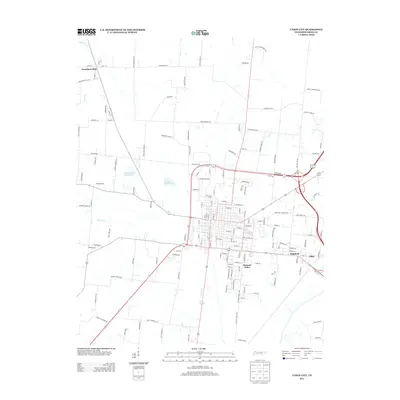
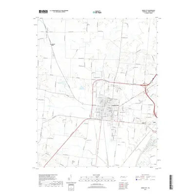
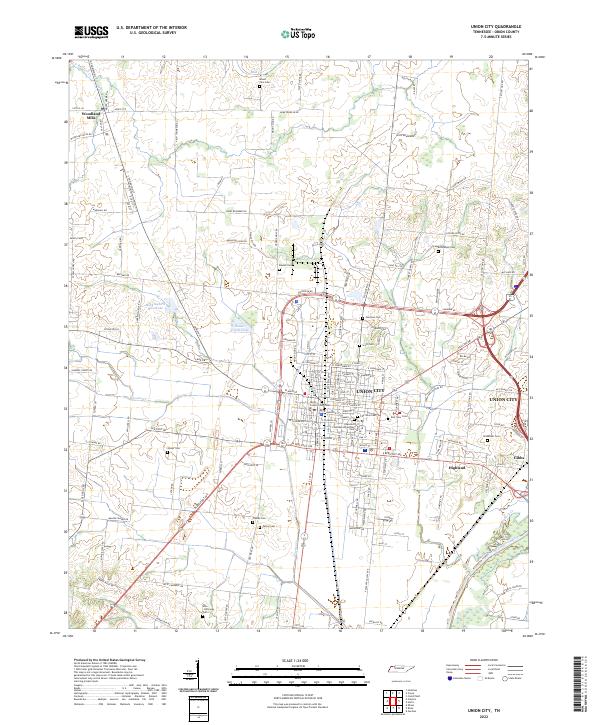 2022 Union City2022 Print · USGSThe county seat of Union City and its surrounding farmsteads are documented here in the early twenty-first century. Researchers can trace historic family lineages through local landmarks such as Unknown Confederate Soldier Cem, Woodland Mills, and the Obion County Courthouse.
 - 2022 Map of Harris, 2022 Print
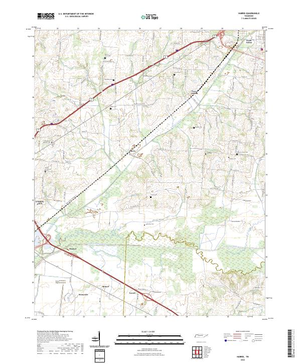 2022 Harris2022 Print · USGSObion County farmland and the Obion River bottomlands are captured here in the early twenty-first century. Researchers can trace ancestral sites through numerous small burial grounds like the Morris Slave Cem and Johnson Grove Cem or locate the quiet crossroads of Pierce Station and Harris.
End of results
Showing maps 1-16 of 16
Top cities near Union City
- Martin historical maps
- Fulton historical maps
- South Fulton historical maps
- Hickman historical maps
- Troy historical maps
- Obion historical maps
See more
Top neighborhoods of Union City
Frequently asked questions
- What are the different types of historical maps available for Union City?
- What is the oldest map of Union City?
- Where can I purchase historical maps of Union City for my home or office?
- Where can I download high-res historical maps of Union City?
- Are there historical topographic maps available for Union City?
- Is there historical aerial imagery available for Union City?
- Where are historical maps of Union City sourced from?