Old Maps of Walnut Log, Tennessee for Academic Research
Study the evolution of Walnut Log with 12 high-resolution historic maps. Whether you're teaching, researching, or modeling changes in land use, these maps provide essential visual documentation of urban, environmental, and geographic change.
- Analyze long-term change: Track patterns in development, transportation, and natural features.
- Ideal for environmental or urban studies: Support academic projects with primary historical map data.
- Use in the classroom or lab: Educators and researchers rely on these maps to bring historical context to life.
These maps are a powerful tool for teaching, research, and visualizing how Walnut Log has changed over the decades.
Walnut Log, TN maps
(12)- 1925 Map of Reelfoot Lake
 1925 Reelfoot Lake1925 Print · USGSNorthwestern Tennessee in the mid-twenties is defined here by the intricate waters of the Reelfoot basin and the shifting course of the Mississippi. Genealogists and historians can trace family-named sites like Rodgers School and Jones School, or locate old river landings including Cates and Whites Landing.3 unique versions available
 - 1939 Map of Reelfoot Lake
 1939 Reelfoot Lake1939 Print · USGSReelfoot Lake and the Mississippi River bottoms are captured here in the late thirties, showing a landscape defined by water and woods. Genealogists and historians can trace family locations near Owl City, Free Will Ch & Cem, and Chandlers Mill Sch.2 unique versions available
 - 1956 Map of Reelfoot Lake, 1957 Print
 1956 Reelfoot Lake1957 Print · USGSNorthwest Tennessee in the 1950s was a landscape defined by the shifting waters of the Mississippi and the cypress brakes of Reelfoot. Researchers can trace rural lineages through sites like Crocketts Chapel & Cem, Star of Bethlehem Ch, and the defunct rails of the Illinois Central Railroad.
 - 1956 Map of Dyersburg, 1960 Print
 1956 Dyersburg1960 Print · USGSThe Four Rivers region comes alive in the mid-fifties, capturing the intricate borderlands of Tennessee, Kentucky, and Missouri. Genealogists and historians can trace the rail-and-river networks connecting Dyersburg, Caruthersville, and the shoreline of Reelfoot Lake.4 unique versions available
 - 1964 Map of Samburg, 1965 Print
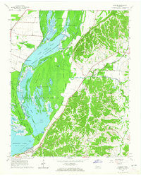 1964 Samburg1965 Print · USGSReelfoot Lake and the surrounding bottomlands are captured here in the mid-1960s as both a refuge and a living community. Genealogists and local historians can trace the roads connecting Samburg, Walnut Log, and Roneys Store, or locate family sites near Midway Ch and Mt Zion Ch.2 unique versions available
 - 1967 Map of Reelfoot Lake
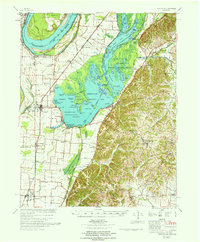 1967 Reelfoot Lake1967 Print · USGSReelfoot Lake and the Mississippi riverfront are captured here in the mid-sixties, showing a landscape defined by wetlands and rail-line towns. Researchers can trace family sites at Owl City or Samburg, and locate landmarks like Mt Zion Ch and Oak Ridge Sch.
 - 1983 Map of Dyersburg
 1983 Dyersburg1983 Print · USGSSpanning the Mississippi River at the start of the 1980s, this area shows the vital river-and-rail connections between Tennessee and Missouri. Researchers can trace family sites at Mount Pisgah Cemetery or study the evolving shoreline near Caruthersville and Reelfoot Lake.
 - 2010 Map of Samburg, 2010 Print
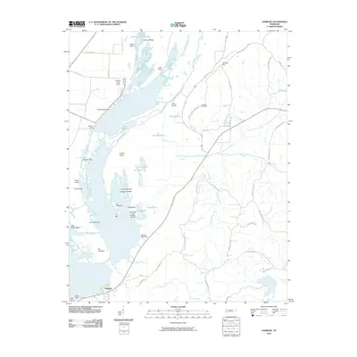 2010 Samburg2010 Print · USGSThe shore of Reelfoot Lake in northwestern Tennessee comes into focus here during the early twenty-first century. Genealogists and local historians can locate lakeside landmarks like Bryants Camp and Crescent Cemetery alongside the winding Bayou du Chien.
 - 2013 Map of Samburg, 2013 Print
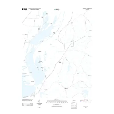 2013 Samburg2013 Print · USGSReelfoot Lake's intricate shoreline and wetlands are the focus of this Tennessee survey from the early 2010s. Researchers can trace local lakefront life through features like Samburg, Walnut Log, and Millers Boat Dock.
 - 2016 Map of Samburg, 2016 Print
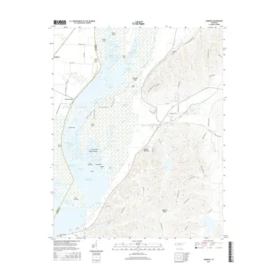 2016 Samburg2016 Print · USGSReelfoot Lake's intricate wetlands and shoreline are mapped here in the mid-2010s, showing the deep connection between the water and local settlements. Genealogists and researchers can locate Walnut Log, Roneys Store, and Crescent Cem among the numerous named arms and basins.
 - 2019 Map of Samburg, 2019 Print
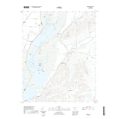 2019 Samburg2019 Print · USGSReelfoot Lake's eastern shore and the surrounding Obion County wetlands are captured here in the late twenty-teens. Researchers can trace the intricate edges of Bayou du Chien, locate the Crescent Cem, and explore old landings like Walnut Log.
 - 2022 Map of Samburg, 2022 Print
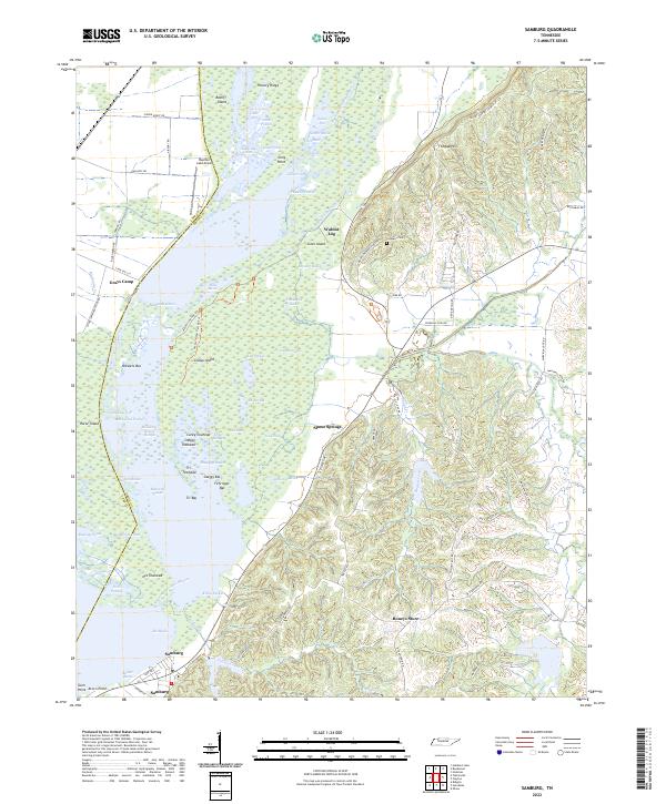 2022 Samburg2022 Print · USGSSamburg and the eastern shores of Reelfoot Lake appear in detail during the early 2020s, showing a landscape defined by complex wetlands and ridge-top settlements. Researchers can trace family names and local landmarks from Roneys Store and Walnut Log to the Crescent Cem on the slopes of Fishgap Hill.
End of results
Showing maps 1-12 of 12
Top cities near Walnut Log
- Union City historical maps
- Tiptonville historical maps
- New Madrid historical maps
- Hickman historical maps
- Ridgely historical maps
- Troy historical maps
See more
Frequently asked questions
- What are the different types of historical maps available for Walnut Log?
- What is the oldest map of Walnut Log?
- Where can I purchase historical maps of Walnut Log for my home or office?
- Where can I download high-res historical maps of Walnut Log?
- Are there historical topographic maps available for Walnut Log?
- Is there historical aerial imagery available for Walnut Log?
- Where are historical maps of Walnut Log sourced from?