2020s Maps of Perry County, Tennessee
Explore 16 historic maps of Perry County from the 2020s. These maps offer a rare glimpse into what life looked like during the 2020s — showing old roads, neighborhoods, homes, and landmarks that have changed or disappeared over time.
Whether you're researching your family's past, planning a metal detecting trip, or studying how Perry County's landscape evolved across the 2020s, these high-resolution maps are a powerful tool for exploring the history of this region.
- Focus on a specific era: All maps on this page are from the 2020s, giving you a focused view of this time period.
- See what’s changed: Compare century-old streets, trails, and buildings to today's modern landscape using overlays and satellite layers.
- Research with precision: Use these maps for genealogy, historical research, land use analysis, or educational projects.
- View, download, or print: Maps are fully viewable online in high resolution, and can be downloaded or printed for your own records.
Start exploring Perry County's history through authentic maps from the 2020s. This is your window into the past.
Perry County, TN maps
(16)- 2022 Map of Chestnut Grove, 2022 Print
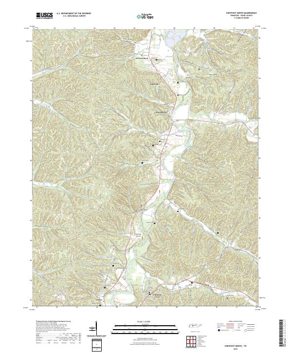 2022 Chestnut Grove2022 Print · USGSPerry County's river-carved hills are shown here in the 2020s, highlighting the enduring settlement patterns along the Buffalo River. Researchers can locate numerous family burial grounds including Murray Cem and Cude Cem or trace the rural routes through Toad Hollow and Beardstown.
 - 2022 Map of Linden, 2022 Print
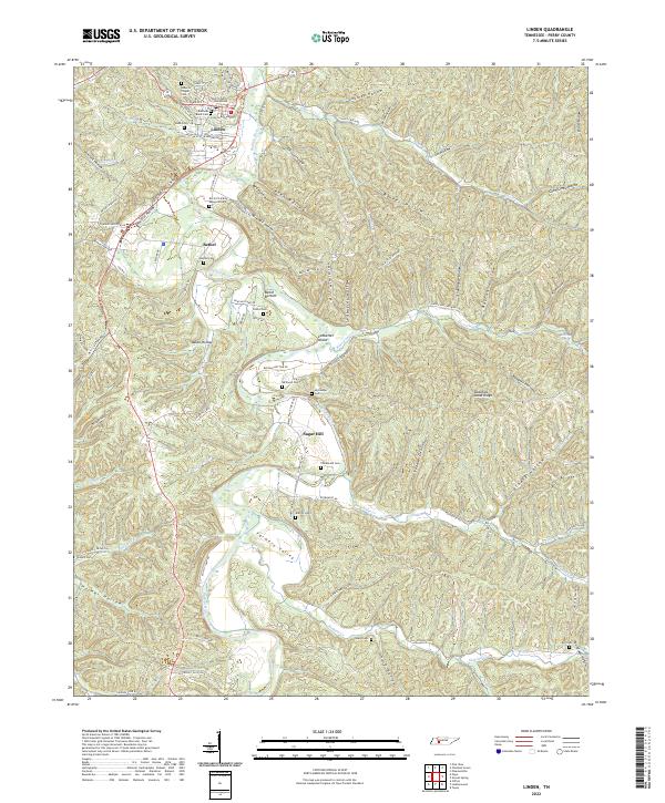 2022 Linden2022 Print · USGSLinden and the central Buffalo River valley come into focus in this recent survey of Tennessee's ridge-and-hollow country. Local historians can trace family roots at The Mound Cem and Kittrell Cem or locate old community centers like Bethel and Sugar Hill.
 - 2022 Map of Pleasantville, 2022 Print
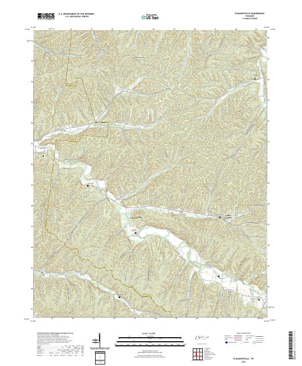 2022 Pleasantville2022 Print · USGSThe Hickman and Perry county line area in middle Tennessee is a landscape of deep hollows and ancestral family sites. Researchers can locate numerous burial grounds like Beech Grove Cem and Stanley Cem along the winding waters of Cane Creek.
 - 2022 Map of Topsy, 2022 Print
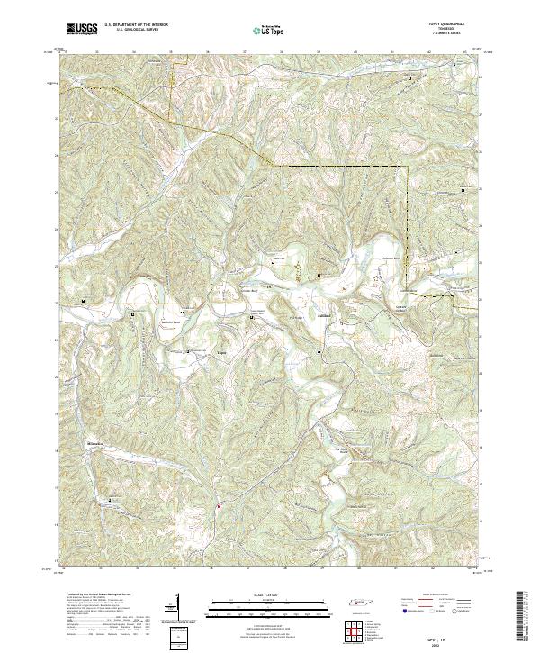 2022 Topsy2022 Print · USGSWayne County's winding river valleys and ridge-top roads are documented here in the early twenty-first century. Genealogists and local historians can trace family locations near Salem Baptist Church Cem, Bachelor Bend, and the settlement of Topsy.
 - 2022 Map of Clifton, 2022 Print
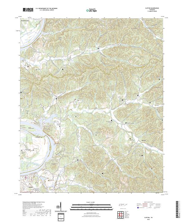 2022 Clifton2022 Print · USGSThe Tennessee River bend at Clifton is captured here in the early twenty-first century, showcasing a landscape of deep hollows and historic riverfront settlements. Researchers can trace numerous family burial sites and landmarks like the Henry Culp Family Plot, Carrollville Hill, and Glenkirk Island.
 - 2022 Map of Coble, 2022 Print
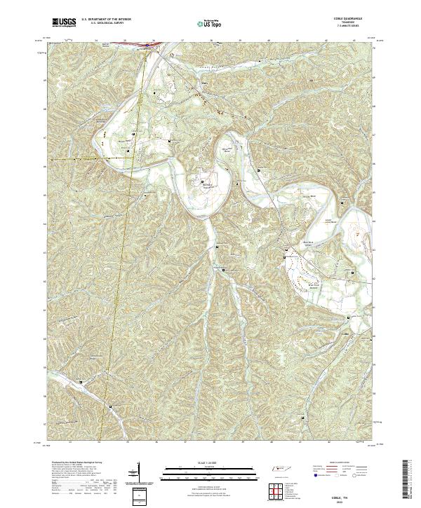 2022 Coble2022 Print · USGSHickman County is shown here in the early twenty-first century, where the winding Duck River carves out deep bends and hollows. Genealogists and local historians can trace family roots through numerous sites like McClanahan Cem, the settlement of Only, and Burchard Town Bend.
 - 2022 Map of Leatherwood, 2022 Print
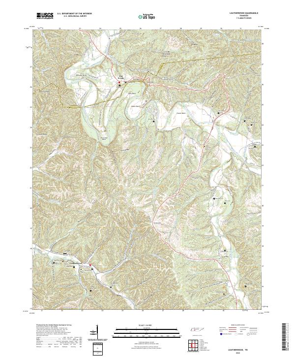 2022 Leatherwood2022 Print · USGSThe Buffalo River valley in Wayne and Perry counties is shown here during the early twenty-first century. Genealogists and local historians can locate numerous family burial grounds including Flatwoods Cem, Holt Cem, and William Riley Cem near the historic Leatherwood settlement.
 - 2022 Map of Pine View, 2022 Print
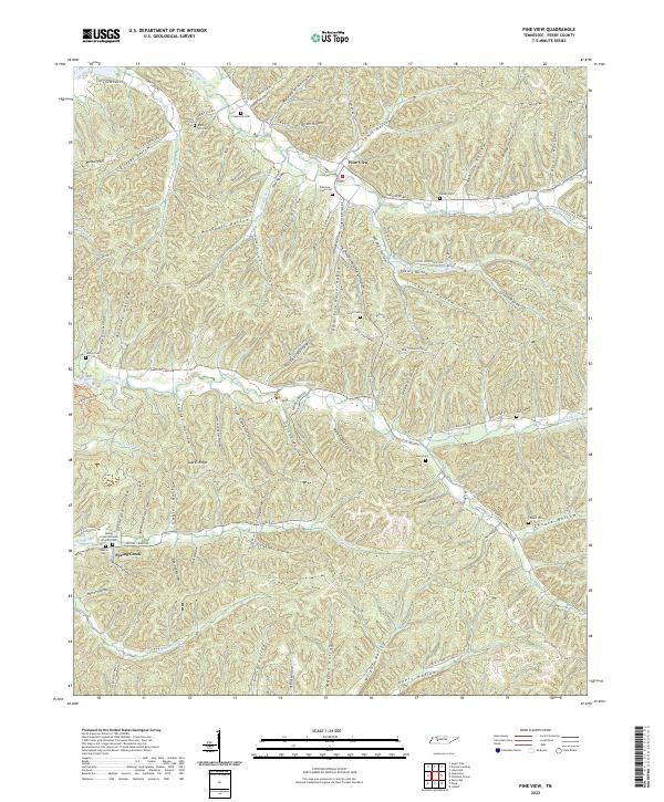 2022 Pine View2022 Print · USGSPerry County's rural uplands are shown here as a network of family-named hollows and ridge-top cemeteries. Researchers can locate numerous family burial grounds like Bible Hill Cem and Pineview - Pace Cem near the settlements of Pine View and Spring Creek.
 - 2022 Map of Lobelville, 2022 Print
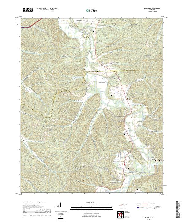 2022 Lobelville2022 Print · USGSThe Buffalo River valley in the early 2020s remains a landscape of traditional river bottoms and family landmarks. Genealogists can trace decades of history at Bone Spring Cem, Leeper Cem, and Gray Cem near Lobelville.
 - 2022 Map of Pope, 2022 Print
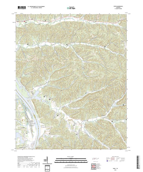 2022 Pope2022 Print · USGSWestern Perry County is mapped here as it transitions from the Tennessee River bluffs into a dense network of hollows and ridges. Researchers can trace family sites at Harder Cem Number 2, Broadaway Cem, and the riverfront at New Era Bluff.
 - 2022 Map of Graves Spring, 2022 Print
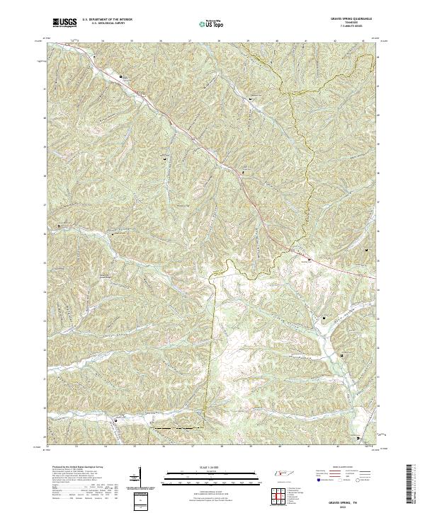 2022 Graves Spring2022 Print · USGSThe Perry and Lewis county borderlands remain a landscape of secluded hollows and family homesteads as seen in the early twenty-first century. Genealogists can trace numerous ancestral burial sites including Hensley Cem, Odam Cem, and the Barber and Qualls Family Cem along the winding creek branches.
 - 2022 Map of Daniels Landing, 2022 Print
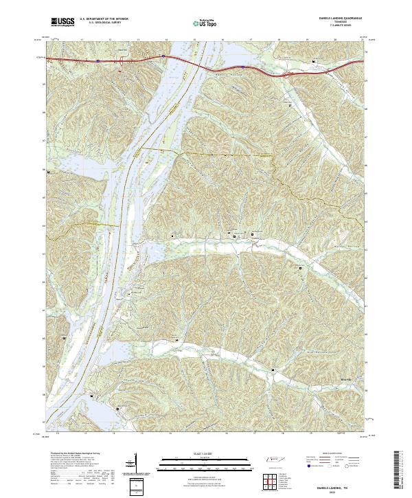 2022 Daniels Landing2022 Print · USGSSpanning the borders of Perry and Humphreys counties in the 2020s, this area shows a landscape defined by the Tennessee River and its complex system of hollows. Researchers can locate numerous family burial grounds including Britts Chapel Cem, McKeel Cem, and Raney Cem tucked between ridges.
 - 2022 Map of Sugar Tree, 2022 Print
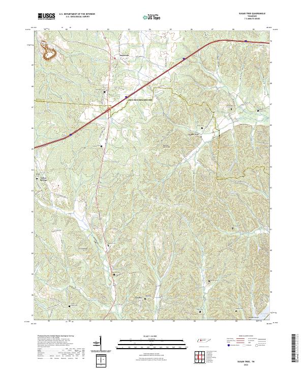 2022 Sugar Tree2022 Print · USGSThe rural landscapes of Decatur and Benton counties are documented here in the early twenty-first century, showing a region defined by its ridge-top settlements and creek valleys. Genealogists can trace family landmarks across Bumble Bee Ridge or locate ancestral burial sites like Bawcum Cem and Wesson Cem.
 - 2022 Map of Bath Springs, 2022 Print
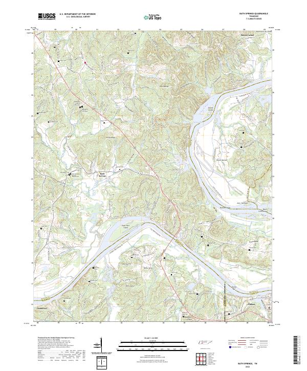 2022 Bath Springs2022 Print · USGSThe Tennessee River valley at the Decatur and Hardin county line comes alive in this 2022 survey. Genealogists can trace family names across dozens of sites including Slater Cem, Lott Landing Cem, and the historic Bath Springs Baptist Church.
 - 2022 Map of Perryville, 2022 Print
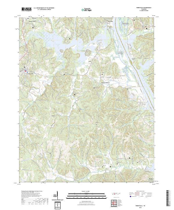 2022 Perryville2022 Print · USGSDecatur County, Tennessee, is defined here by the wide reaches of Kentucky Lake and the Tennessee River. Researchers can trace family ties through numerous rural burial sites including Luton Cem and the Decaturville City Cem.
 - 2022 Map of Jeannette, 2022 Print
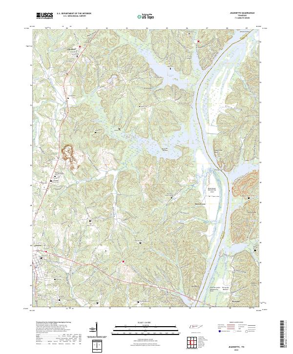 2022 Jeannette2022 Print · USGSThe Tennessee River valley south of the interstate comes to life in this survey of Decatur County. Genealogists and local historians can trace family landmarks and rural congregations at Bunches Chapel Cem, Busseltown, and Iron Hill Church Cem.
End of results
Showing maps 1-16 of 16
Top cities of Perry County
Frequently asked questions
- What are the different types of historical maps available for Perry County?
- What is the oldest map of Perry County?
- Where can I purchase historical maps of Perry County for my home or office?
- Where can I download high-res historical maps of Perry County?
- Are there historical topographic maps available for Perry County?
- Is there historical aerial imagery available for Perry County?
- Where are historical maps of Perry County sourced from?