2000s (21st Century) Maps of Perry County, Tennessee
Explore 80 historic maps of Perry County from the 2000s (21st Century). These maps offer a rare glimpse into what life looked like during the 2000s — showing old roads, neighborhoods, homes, and landmarks that have changed or disappeared over time.
Whether you're researching your family's past, planning a metal detecting trip, or studying how Perry County's landscape evolved across the 2000s, these high-resolution maps are a powerful tool for exploring the history of this region.
- Focus on a specific era: All maps on this page are from the 2000s, giving you a focused view of this time period.
- See what’s changed: Compare century-old streets, trails, and buildings to today's modern landscape using overlays and satellite layers.
- Research with precision: Use these maps for genealogy, historical research, land use analysis, or educational projects.
- View, download, or print: Maps are fully viewable online in high resolution, and can be downloaded or printed for your own records.
Start exploring Perry County's history through authentic maps from the 2000s. This is your window into the past.
Perry County, TN maps
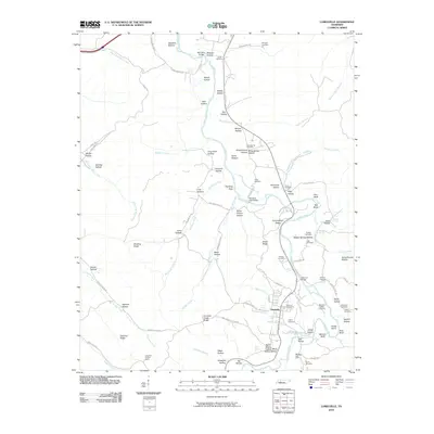
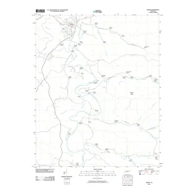
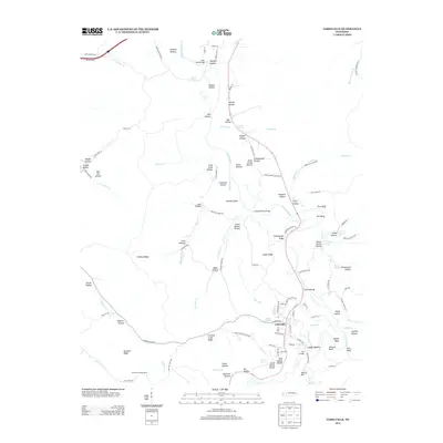
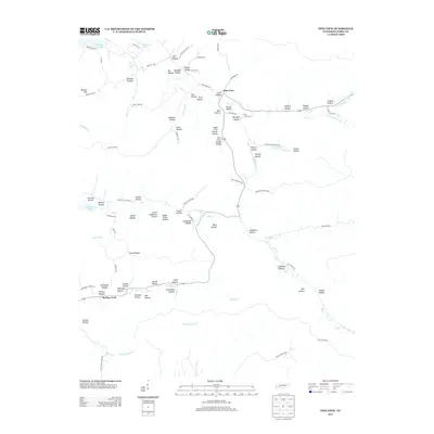
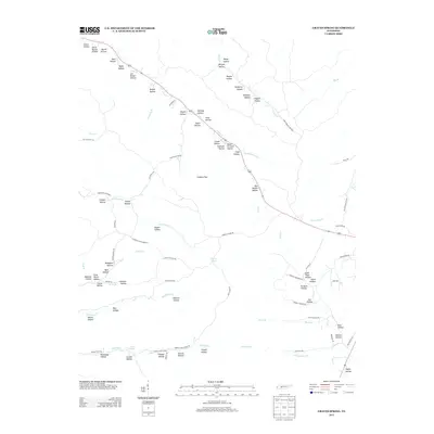
(80)- 2010 Map of Pine View, 2010 Print
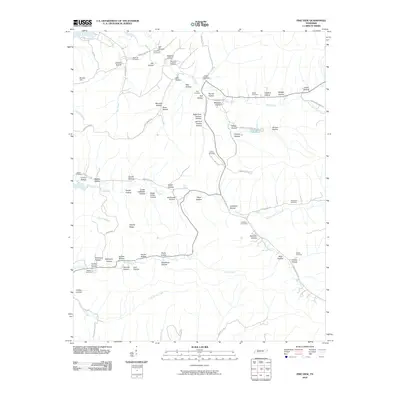 2010 Pine View2010 Print · USGSCovers Perry County, including Pine View, Spring Creek, and other nearby areas
 - 2010 Map of Jeannette, 2010 Print
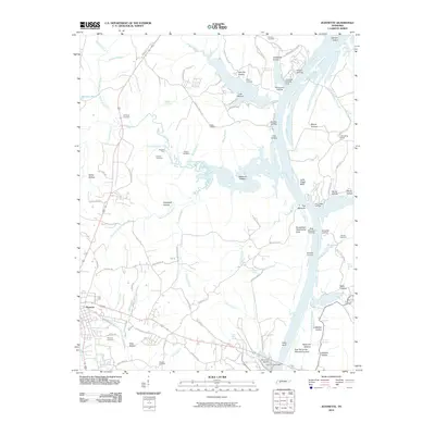 2010 Jeannette2010 Print · USGSCovers Perry County, including Parsons, Jeannette, and other nearby areas
 - 2010 Map of Chestnut Grove, 2010 Print
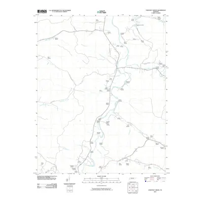 2010 Chestnut Grove2010 Print · USGSCovers Perry County, including Lobelville, Chestnut Grove, and other nearby areas
 - 2010 Map of Bath Springs, 2010 Print
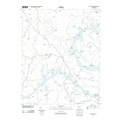 2010 Bath Springs2010 Print · USGSCovers Perry County, including Clifton, Lott Landing, and other nearby areas
 - 2010 Map of Topsy, 2010 Print
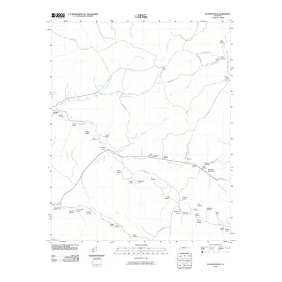
 2010 Topsy2010 Print · USGSCovers Perry County, including Ashland, Sweetwater, and other nearby areas
 - 2010 Map of Graves Spring, 2010 Print
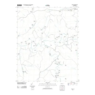
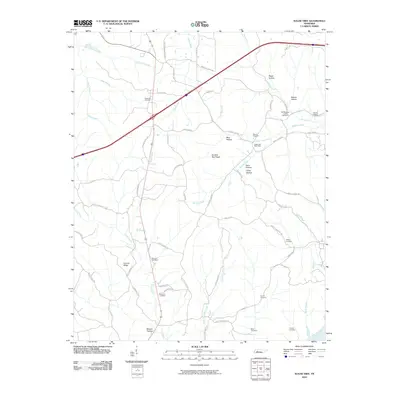
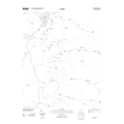
 2010 Graves Spring2010 Print · USGSCovers Perry County, including Hickman County, Lewis County, and other nearby areas
 - 2010 Map of Perryville, 2010 Print
 2010 Perryville2010 Print · USGSCovers Perry County, including Parsons, Decaturville, and other nearby areas
 - 2010 Map of Sugar Tree, 2010 Print
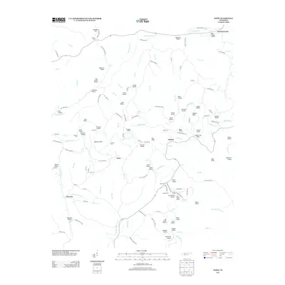
 2010 Sugar Tree2010 Print · USGSCovers Perry County, including Cozette, Sugar Tree, and other nearby areas
 - 2010 Map of Lobelville, 2010 Print
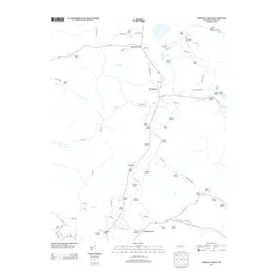
 2010 Lobelville2010 Print · USGSCovers Perry County, including Lobelville, Humphreys County, and other nearby areas
 - 2010 Map of Coble, 2010 Print
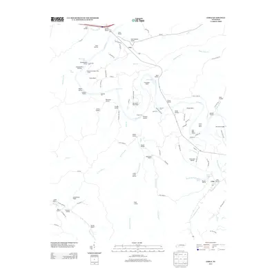
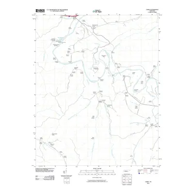 2010 Coble2010 Print · USGSCovers Perry County, including Coble, Only, and other nearby areas
 - 2010 Map of Pope, 2010 Print
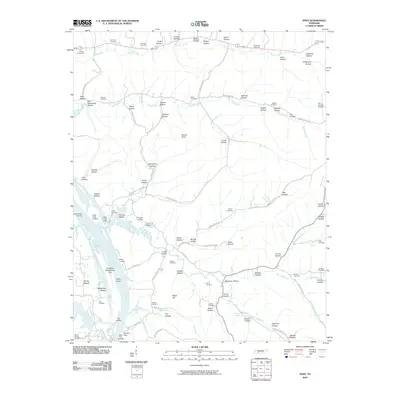 2010 Pope2010 Print · USGSCovers Perry County, including Gumdale, Vise Landing, and other nearby areas
 - 2010 Map of Daniels Landing, 2010 Print
 2010 Daniels Landing2010 Print · USGSCovers Perry County, including Blue Sky, Crooked Creek, and other nearby areas
 - 2010 Map of Linden, 2010 Print
 2010 Linden2010 Print · USGSCovers Perry County, including Linden, Sugar Hill, and other nearby areas
 - 2010 Map of Pleasantville, 2010 Print
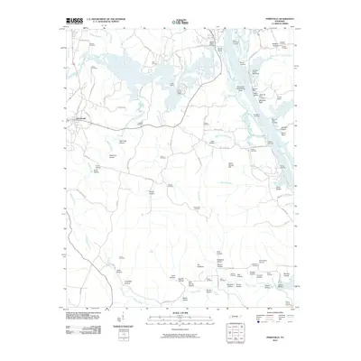
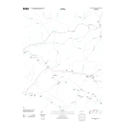
 2010 Pleasantville2010 Print · USGSCovers Perry County, including Upper Sinking, Pleasantville, and other nearby areas
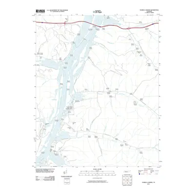
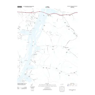
 - 2010 Map of Clifton, 2010 Print
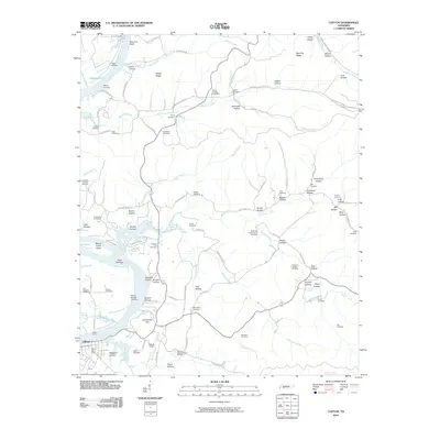 2010 Clifton2010 Print · USGSCovers Perry County, including Clifton, Mooney, and other nearby areas
 - 2010 Map of Leatherwood, 2010 Print
 2010 Leatherwood2010 Print · USGSCovers Perry County, including Flat Woods, Leatherwood, and other nearby areas
 - 2013 Map of Topsy, 2013 Print
 2013 Topsy2013 Print · USGSCovers Perry County, including Ashland, Sweetwater, and other nearby areas
 - 2013 Map of Pleasantville, 2013 Print
 2013 Pleasantville2013 Print · USGSCovers Perry County, including Upper Sinking, Pleasantville, and other nearby areas
 - 2013 Map of Chestnut Grove, 2013 Print
 2013 Chestnut Grove2013 Print · USGSCovers Perry County, including Lobelville, Chestnut Grove, and other nearby areas
 - 2013 Map of Linden, 2013 Print
 2013 Linden2013 Print · USGSCovers Perry County, including Linden, Sugar Hill, and other nearby areas
 - 2013 Map of Lobelville, 2013 Print
 2013 Lobelville2013 Print · USGSCovers Perry County, including Lobelville, Humphreys County, and other nearby areas
 - 2013 Map of Pine View, 2013 Print
 2013 Pine View2013 Print · USGSCovers Perry County, including Pine View, Spring Creek, and other nearby areas
 - 2013 Map of Coble, 2013 Print
 2013 Coble2013 Print · USGSCovers Perry County, including Coble, Only, and other nearby areas
 - 2013 Map of Daniels Landing, 2013 Print
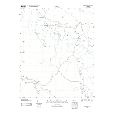
 2013 Daniels Landing2013 Print · USGSCovers Perry County, including Blue Sky, Crooked Creek, and other nearby areas
 - 2013 Map of Graves Spring, 2013 Print
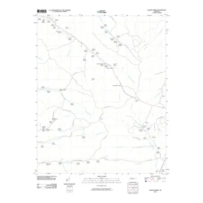
 2013 Graves Spring2013 Print · USGSCovers Perry County, including Hickman County, Lewis County, and other nearby areas
Showing maps 1-25 of 80
Top cities of Perry County
Frequently asked questions
- What are the different types of historical maps available for Perry County?
- What is the oldest map of Perry County?
- Where can I purchase historical maps of Perry County for my home or office?
- Where can I download high-res historical maps of Perry County?
- Are there historical topographic maps available for Perry County?
- Is there historical aerial imagery available for Perry County?
- Where are historical maps of Perry County sourced from?