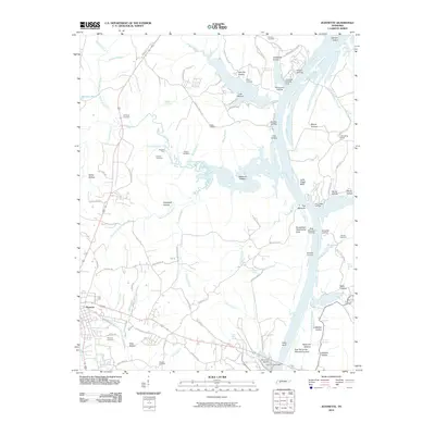
2010 Map of Jeannette
USGS Topo · Published 2010About this map
Parsons serves as the primary hub on this Decatur County landscape, where the town's western edge gives way to a complex network of landings and river bottoms. The Tennessee River dominates the eastern boundary, shaping local life through features like Brodies Landing, Clifts Landing, and the Mousetail Landing area. This 2010 survey illustrates the river's continued importance for transport and recreation, evidenced by the Perryville Marina and the Alvin C York Bridge crossing near Perryville Bottom.
Find a feature on this map
107 named features on this map. Tap any name to fly to it.
Don’t see what you’re looking for? This feature index may not catch every label — zoom into the map to look around manually.
Map Details
Editions of this 2010 Jeannette Map
This is the sole edition of this map. No revisions or reprints were ever made.
Other maps of this area

1936 · Pine View
USGS Topo · 1:24,000

1936 · Scotts Hill
USGS Topo · 1:24,000

1936 · Parsons
USGS Topo · 1:24,000

1936 · Daniels Landing
USGS Topo · 1:24,000

1936 · Jeannette
USGS Topo · 1:24,000

1936 · Sugar Tree
USGS Topo · 1:24,000

1936 · Cavvia
USGS Topo · 1:24,000

1936 · Perryville
USGS Topo · 1:24,000

1936 · Pope
USGS Topo · 1:24,000

1949 · Perryville
USGS Topo · 1:24,000