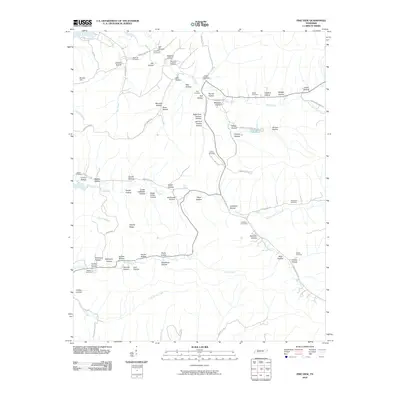
2010 Map of Pine View
USGS Topo · Published 2010About this map
Bible Hill Cemetery and Pace Cemetery anchor the upper reaches of the Toms Creek drainage in this corner of Perry County. The landscape is characterized by an intricate network of narrow hollows named for local families, including O'Guin Hollow, Madden Hollow, and Hopkins Hollow, which feed into the larger creek systems. These terrain patterns suggest a settlement history closely tied to the topography, where homesteads and small family burial grounds were established along the level ground of the creek bottoms.
Find a feature on this map
77 named features on this map. Tap any name to fly to it.
Don’t see what you’re looking for? This feature index may not catch every label — zoom into the map to look around manually.
Map Details
Editions of this 2010 Pine View Map
This is the sole edition of this map. No revisions or reprints were ever made.
Other maps of this area

1936 · Pine View
USGS Topo · 1:24,000

1936 · Daniels Landing
USGS Topo · 1:24,000

1936 · Linden
USGS Topo · 1:24,000

1936 · Chestnut Grove
USGS Topo · 1:24,000

1936 · Jeannette
USGS Topo · 1:24,000

1936 · Sugar Tree
USGS Topo · 1:24,000

1936 · Lobelville
USGS Topo · 1:24,000

1936 · Perryville
USGS Topo · 1:24,000

1936 · Pope
USGS Topo · 1:24,000

1949 · Perryville
USGS Topo · 1:24,000