Old Maps of Pickett County, Tennessee for Academic Research
Study the evolution of Pickett County with 77 high-resolution historic maps. Whether you're teaching, researching, or modeling changes in land use, these maps provide essential visual documentation of urban, environmental, and geographic change.
- Analyze long-term change: Track patterns in development, transportation, and natural features.
- Ideal for environmental or urban studies: Support academic projects with primary historical map data.
- Use in the classroom or lab: Educators and researchers rely on these maps to bring historical context to life.
These maps are a powerful tool for teaching, research, and visualizing how Pickett County has changed over the decades.
Pickett County, TN maps
(77)- 1897 Map of Standingstone
 1897 Standingstone1897 Print · USGSThe Upper Cumberland Plateau at the end of the 19th century shows a landscape of deep coves and rising rail towns. Trace the early tracks of the Nashville and Knoxville railroad or find family roots near Livingston, Standingstone, and the Cedar Springs church.
 - 1898 Map of Standingstone
 1898 Standingstone1898 Print · USGSThe Cumberland Plateau of Middle Tennessee comes alive in the late nineteenth century, showing the isolated settlements and early industry of the western mountains. Trace the route of the Nashville and Knoxville RR through Monterey or locate family-named coves like Johnson Cove and Deck Cove.8 unique versions available
 - 1924 Map of Lillydale
 1924 Lillydale1924 Print · USGSThe Tennessee-Kentucky borderlands in the early twenties were defined by tight river bends and isolated ridge-top schools. Genealogists can trace the rural life of Lillydale through landmarks like Thompsons Store, Willow Grove, and the uniquely named Hongkong School.
 - 1926 Map of Lillydale, 1964 Print
 1926 Lillydale1964 Print · USGSThe Cumberland and Obey Rivers wind through this border region in the mid-twenties, documenting life before the damming of the river valleys. Genealogists can trace family footprints at Lillydale, Carys Ferry, and numerous rural schoolhouses like Greenbrier School.
 - 1929 Map of Lillydale
 1929 Lillydale1929 Print · USGSThe Tennessee and Kentucky borderlands are captured here in the 1920s, showing a river-linked landscape of bottomland farms and ridge-top communities. Genealogists can trace family roots through numerous schools and churches like Bearwallow School, Lillydale, and History Grove Church.3 unique versions available
 - 1929 Map of Byrdstown
 1929 Byrdstown1929 Print · USGSThe Tennessee-Kentucky state line comes alive in the late twenties, showing a landscape defined by the winding Obey River before the era of modern dams. Researchers can trace ancestral roots through dozens of local sites like Davidson Cem, Franklin Ferry, and the Almshouse.2 unique versions available
 - 1934 Map of Barthell
 1934 Barthell1934 Print · USGSMcCreary County during the late 1920s reveals a landscape of industrial outposts and river-bound settlements at the edge of the Tennessee line. Researchers can trace the Kentucky and Tennessee Railway corridor or find family roots at Kidds Crossing, Cooperative, and Laurel Hill Ch.
 - 1934 Map of Pall Mall
 1934 Pall Mall1934 Print · USGSThe Kentucky-Tennessee borderlands appear in great detail during the late interwar period, showing a landscape of remote mountain hamlets and schools. Genealogists can locate family landmarks such as Edwards Chapel, Slickford, and the Parmley Sch among the cliffs and ridges.
 - 1954 Map of Frogue, 1955 Print
 1954 Frogue1955 Print · USGSCumberland County and the Tennessee borderlands are shown here in the mid-fifties, just as the rising waters of Dale Hollow Reservoir reshaped the valley. Researchers can locate vanished landmarks like Neeleys Fy on the river and rural centers like Spears Chapel and Hegira.2 unique versions available
 - 1954 Map of Albany, 1955 Print
 1954 Albany1955 Print · USGSClinton County and the borderlands of the Cumberland Plateau are captured here in the mid-fifties as the local landscape adjusted to the presence of the reservoir. Genealogists can trace family names across dozens of rural landmarks, from Palestine Ch and Evans Sch to the remote crossings at Shipley and Huntersville.2 unique versions available
 - 1954 Map of Pall Mall, 1956 Print
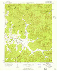 1954 Pall Mall1956 Print · USGSThe borderlands of Tennessee and Kentucky come alive in the mid-1950s, centered on the community of Pall Mall. Trace local history through the many rural landmarks of the Wolf River valley, including York Bible Sch, Travisville Ch, and the Alvin C York Highway.4 unique versions available
 - 1955 Map of Sharp Place, 1956 Print
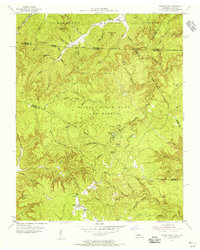 1955 Sharp Place1956 Print · USGSThe Tennessee-Kentucky borderlands come alive in the mid-fifties, showing a landscape shaped by national forests and small ridge-top communities. Genealogists can locate family sites like Akers Chapel, Sharp Place Cemetery, and the Langham School.5 unique versions available
 - 1955 Map of Barthell SW, 1956 Print
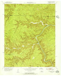 1955 Barthell SW1956 Print · USGSThe Tennessee and Kentucky borderlands in the mid-fifties reveal a landscape of deep river gorges and isolated ridge-top schools. Genealogists and historians can trace family locations along No Business Creek and find the site of the Station Camp Sch.4 unique versions available
 - 1956 Map of Alpine, 1957 Print
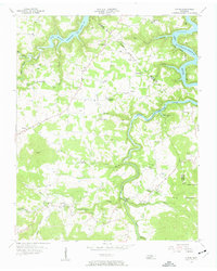 1956 Alpine1957 Print · USGSOverton County life in the mid-fifties centered on highland ridge towns and the newly formed Dale Hollow Reservoir. Genealogists and historians can trace family roots through numerous sites like Green Hill Cem, Joppa Sch, and the old settlement at Alpine.3 unique versions available
 - 1956 Map of Riverton, 1957 Print
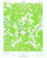 1956 Riverton1957 Print · USGSThe Tennessee uplands near the Pickett and Fentress county line are seen here in the mid-fifties, just as the Dale Hollow Reservoir altered the local valleys. Genealogists can trace remote family sites like Hinds Cem, the Cedar Grove Ch, and schools like Broad Door Sch.3 unique versions available
 - 1956 Map of Corbin, 1966 Print
 1956 Corbin1966 Print · USGSThe Kentucky and Tennessee borderlands are captured here in the mid-fifties, showing the region's shift toward modern interstate travel and reservoir development. Genealogists and historians can trace old community lines near Albany and Monticello or locate early rail junctions along the Southern and Tennessee Central lines.3 unique versions available
 - 1958 Map of Corbin
 1958 Corbin1958 Print · USGSThe Upper Cumberland borderlands appear in the late 1950s as massive reservoirs and early atomic-era growth reshape the region. Trace family roots and vanished landmarks near Lake Cumberland, Oak Ridge, and the Cumberland National Forest.
 - 1962 Map of Moodyville, 1963 Print
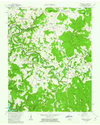 1962 Moodyville1963 Print · USGSThe Wolf River country along the Kentucky-Tennessee border appears here in the early sixties, showing a landscape of deep river bends and rural crossroads. Genealogists can locate dozens of family burial sites like Flowers Zachary Cem and Shadow Cem near settlements like Moodyville and Static.3 unique versions available
 - 1962 Map of Byrdstown, 1964 Print
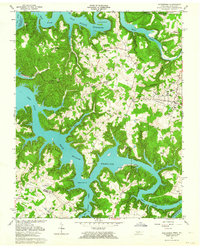 1962 Byrdstown1964 Print · USGSByrdstown and the surrounding river valleys are captured here in the early sixties, as the rising waters of Dale Hollow Reservoir transformed the landscape. Genealogists can trace family sites like the Cordell Hull Birthplace, Love Lady Cem, and the Ferry at Eagle Creek.4 unique versions available
 - 1968 Map of Dale Hollow Reservoir SE, 1971 Print
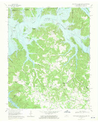 1968 Dale Hollow Reservoir SE1971 Print · USGSThe Kentucky-Tennessee borderlands appear here in the late sixties as the waters of Dale Hollow Reservoir reached their full extent. Genealogists can locate family landmarks like St John Cem, Maple Grove Sch, and the community of Taylors Crossroads.2 unique versions available
 - 1978 Map of Albany
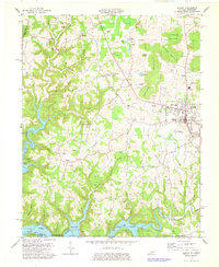 1978 Albany1978 Print · USGSClinton County, Kentucky, is captured in the late 1970s as a landscape of highland ridges and modern reservoirs. Researchers can trace family sites like Bayles Cem, rural centers like Green Grove Ch, and the lakeside infrastructure at Wisdom Dock.2 unique versions available
 - 1978 Map of Frogue, 1979 Print
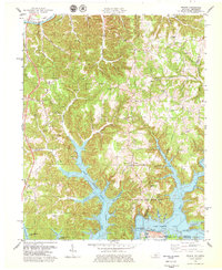 1978 Frogue1979 Print · USGSCumberland and Clinton Counties appear here in the late seventies as the terrain transitions from the Cumberland River to the inlets of Dale Hollow Lake. Researchers can trace rural landmarks from Sexton Park Ch to the many Oil Wells marking the local hillsides.2 unique versions available
 - 1981 Map of Corbin, 1984 Print
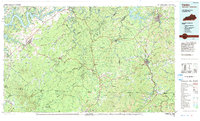 1981 Corbin1984 Print · USGSThe Kentucky and Tennessee borderlands in the early eighties were characterized by coal towns and deep mountain ridges. Trace family history or rail routes through Stearns, Williamsburg, and the mining settlements near Jellico Mountain along the L & N RR.
 - 1982 Map of Cookeville, 1983 Print
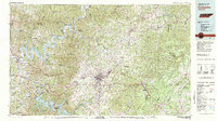 1982 Cookeville1983 Print · USGSThe Upper Cumberland region comes into focus during the early eighties as Cookeville and its surrounding counties adapt to new reservoirs and highways. Researchers can trace the Louisville and Nashville rail line and locate landmarks like Tennessee Technological University and Standing Stone State Forest.
 - 1985 Map of Tompkinsville, 1986 Print
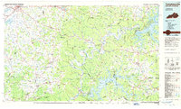 1985 Tompkinsville1986 Print · USGSThe Kentucky-Tennessee borderlands come into focus in the mid-1980s, showcasing a landscape of river-fed valleys and rural crossroads. Genealogists and local historians can trace family locations from Glasgow and Edmonton to the distinctively named Eighty Eight, Bugtussle, and Akersville.2 unique versions available
Showing maps 1-25 of 77
Top cities of Pickett County
Frequently asked questions
- What are the different types of historical maps available for Pickett County?
- What is the oldest map of Pickett County?
- Where can I purchase historical maps of Pickett County for my home or office?
- Where can I download high-res historical maps of Pickett County?
- Are there historical topographic maps available for Pickett County?
- Is there historical aerial imagery available for Pickett County?
- Where are historical maps of Pickett County sourced from?