2000s (21st Century) Maps of Caney Creek, Tennessee
Explore 6 historic maps of Caney Creek from the 2000s (21st Century). These maps offer a rare glimpse into what life looked like during the 2000s — showing old roads, neighborhoods, homes, and landmarks that have changed or disappeared over time.
Whether you're researching your family's past, planning a metal detecting trip, or studying how Caney Creek's landscape evolved across the 2000s, these high-resolution maps are a powerful tool for exploring the history of this region.
- Focus on a specific era: All maps on this page are from the 2000s, giving you a focused view of this time period.
- See what’s changed: Compare century-old streets, trails, and buildings to today's modern landscape using overlays and satellite layers.
- Research with precision: Use these maps for genealogy, historical research, land use analysis, or educational projects.
- View, download, or print: Maps are fully viewable online in high resolution, and can be downloaded or printed for your own records.
Start exploring Caney Creek's history through authentic maps from the 2000s. This is your window into the past.
Caney Creek, TN maps
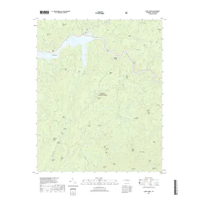
(6)- 2003 Map of Caney Creek, 2004 Print
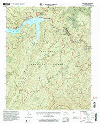 2003 Caney Creek2004 Print · USGSThe Ocoee River corridor in the early 2000s reveals a mountain landscape defined by hydroelectric power and recreation. Trace local family history at Old Fairview Cem or explore the route of the Old Copper Road and the Benton MacKaye Trail.
 - 2011 Map of Caney Creek, 2011 Print
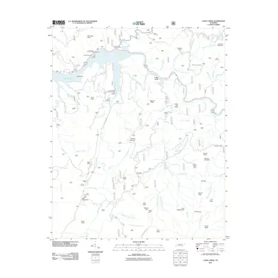 2011 Caney Creek2011 Print · USGSCovers Caney Creek, including Sylco, Polk County, and other nearby areas
 - 2013 Map of Caney Creek, 2013 Print
 2013 Caney Creek2013 Print · USGSCovers Caney Creek, including Sylco, Polk County, and other nearby areas
 - 2016 Map of Caney Creek, 2016 Print
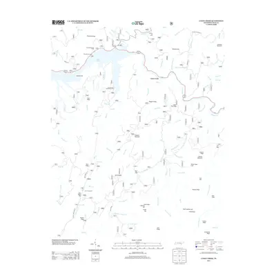
 2016 Caney Creek2016 Print · USGSCovers Caney Creek, including Sylco, Polk County, and other nearby areas
 - 2019 Map of Caney Creek, 2019 Print
 2019 Caney Creek2019 Print · USGSCovers Caney Creek, including Sylco, Polk County, and other nearby areas
 - 2022 Map of Caney Creek, 2022 Print
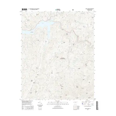
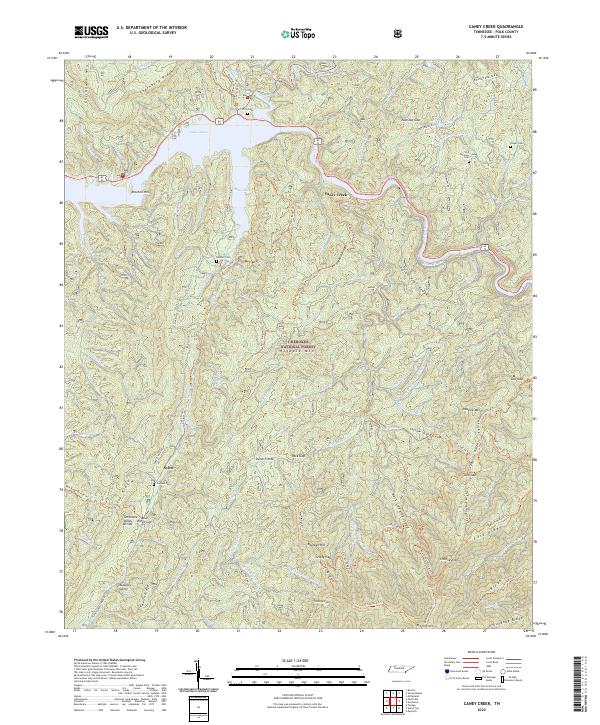 2022 Caney Creek2022 Print · USGSThe high ridges of the Cherokee National Forest meet the waters of Lake Ocoee in this recent survey of Polk County. Researchers can trace rural cemetery locations like Old Fairview Cem and Beckler Cem or follow the path of the unique Ocoee Flume.
End of results
Showing maps 1-6 of 6
Top cities near Caney Creek
- Etowah historical maps
- McCaysville historical maps
- Benton historical maps
- Blue Ridge historical maps
- Charleston historical maps
- Calhoun historical maps
See more
Frequently asked questions
- What are the different types of historical maps available for Caney Creek?
- What is the oldest map of Caney Creek?
- Where can I purchase historical maps of Caney Creek for my home or office?
- Where can I download high-res historical maps of Caney Creek?
- Are there historical topographic maps available for Caney Creek?
- Is there historical aerial imagery available for Caney Creek?
- Where are historical maps of Caney Creek sourced from?