2000s (21st Century) Maps of Towee, Tennessee
Explore 6 historic maps of Towee from the 2000s (21st Century). These maps offer a rare glimpse into what life looked like during the 2000s — showing old roads, neighborhoods, homes, and landmarks that have changed or disappeared over time.
Whether you're researching your family's past, planning a metal detecting trip, or studying how Towee's landscape evolved across the 2000s, these high-resolution maps are a powerful tool for exploring the history of this region.
- Focus on a specific era: All maps on this page are from the 2000s, giving you a focused view of this time period.
- See what’s changed: Compare century-old streets, trails, and buildings to today's modern landscape using overlays and satellite layers.
- Research with precision: Use these maps for genealogy, historical research, land use analysis, or educational projects.
- View, download, or print: Maps are fully viewable online in high resolution, and can be downloaded or printed for your own records.
Start exploring Towee's history through authentic maps from the 2000s. This is your window into the past.
Towee, TN maps
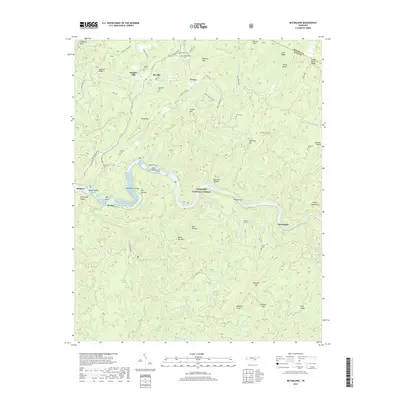
(6)- 2003 Map of Mc Farland, 2004 Print
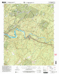 2003 Mc Farland2004 Print · USGSThe Hiwassee River corridor in Polk County is captured here in the early 2000s, showing the intersection of mountain wilderness and industrial development. Researchers can trace the L & N RR through McFarland or locate family sites like Maggies Mill and Campground Cem.
 - 2011 Map of McFarland, 2011 Print
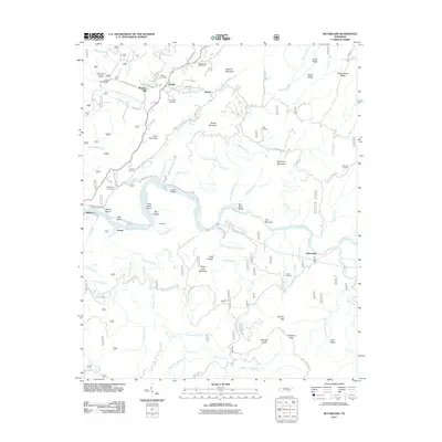 2011 McFarland2011 Print · USGSCovers Towee, including Reliance, Servilla, and other nearby areas
 - 2013 Map of McFarland, 2013 Print
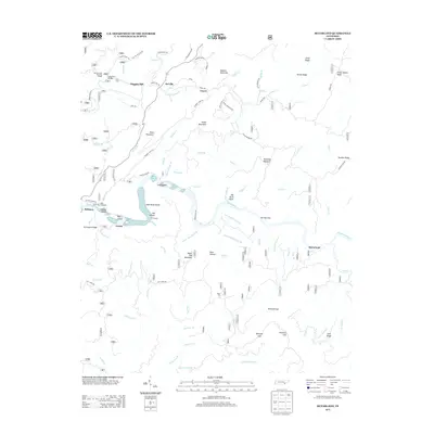 2013 McFarland2013 Print · USGSCovers Towee, including Reliance, Servilla, and other nearby areas
 - 2016 Map of McFarland, 2016 Print
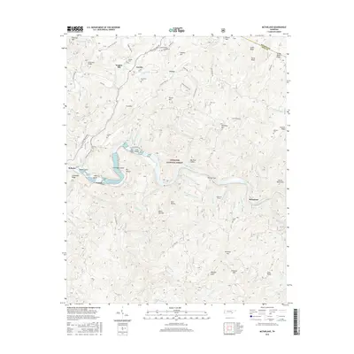 2016 McFarland2016 Print · USGSCovers Towee, including Reliance, Servilla, and other nearby areas
 - 2019 Map of McFarland, 2019 Print
 2019 McFarland2019 Print · USGSCovers Towee, including Reliance, Servilla, and other nearby areas
 - 2022 Map of McFarland, 2022 Print
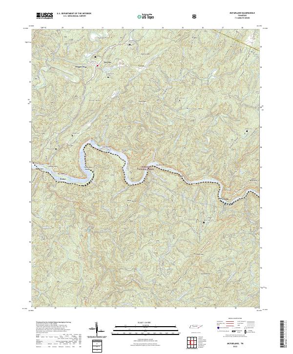 2022 McFarland2022 Print · USGSThe Hiwassee River corridor in Polk County remains a landscape of deep ridges and isolated mountain hollows. Researchers can locate numerous family burial sites like Burchfield Cem and trace historic routes including Towee Pike and Tellico Reliance Rd.
End of results
Showing maps 1-6 of 6
Top cities near Towee
- Athens historical maps
- Etowah historical maps
- Englewood historical maps
- Benton historical maps
- Tellico Plains historical maps
- Copperhill historical maps
See more
Frequently asked questions
- What are the different types of historical maps available for Towee?
- What is the oldest map of Towee?
- Where can I purchase historical maps of Towee for my home or office?
- Where can I download high-res historical maps of Towee?
- Are there historical topographic maps available for Towee?
- Is there historical aerial imagery available for Towee?
- Where are historical maps of Towee sourced from?