2000s (21st Century) Maps of Roane County, Tennessee
Explore 71 historic maps of Roane County from the 2000s (21st Century). These maps offer a rare glimpse into what life looked like during the 2000s — showing old roads, neighborhoods, homes, and landmarks that have changed or disappeared over time.
Whether you're researching your family's past, planning a metal detecting trip, or studying how Roane County's landscape evolved across the 2000s, these high-resolution maps are a powerful tool for exploring the history of this region.
- Focus on a specific era: All maps on this page are from the 2000s, giving you a focused view of this time period.
- See what’s changed: Compare century-old streets, trails, and buildings to today's modern landscape using overlays and satellite layers.
- Research with precision: Use these maps for genealogy, historical research, land use analysis, or educational projects.
- View, download, or print: Maps are fully viewable online in high resolution, and can be downloaded or printed for your own records.
Start exploring Roane County's history through authentic maps from the 2000s. This is your window into the past.
Roane County, TN maps
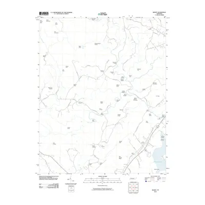
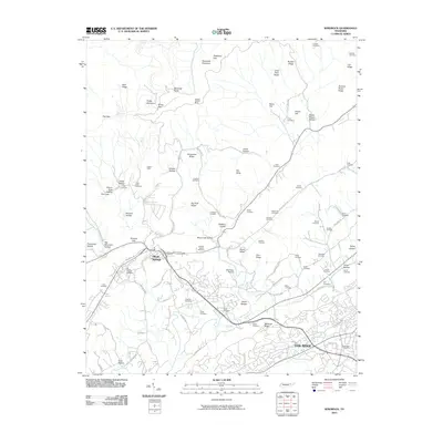
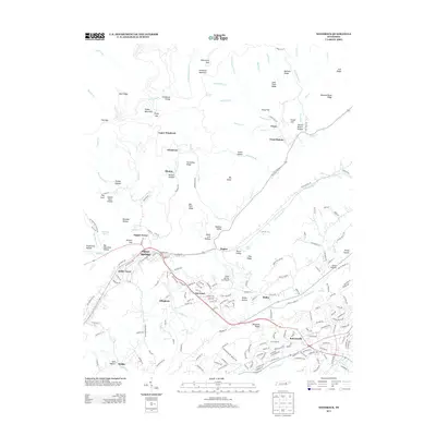
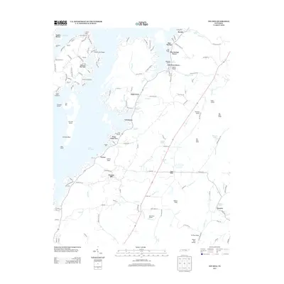
(71)- 2000 Map of Windrock, 2001 Print
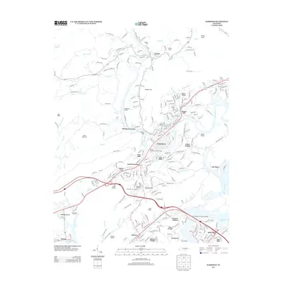
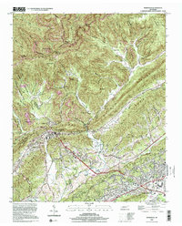 2000 Windrock2001 Print · USGSAnderson County at the turn of the millennium shows a landscape defined by ridge-top mining and valley settlements. Genealogists can locate family landmarks like Duncan Cem, Tupper Town, and the Atomic Energy Museum near Oak Ridge.
 - 2010 Map of Pattie Gap, 2010 Print
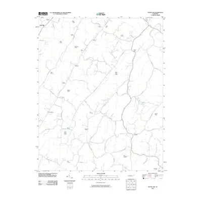 2010 Pattie Gap2010 Print · USGSCovers Roane County, including Oak Hill, Cook Mill, and other nearby areas
 - 2010 Map of Elverton, 2010 Print
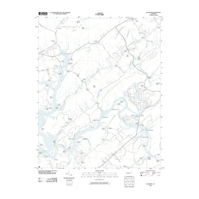 2010 Elverton2010 Print · USGSCovers Roane County, including Oak Ridge, Kingston, and other nearby areas
 - 2010 Map of Bacon Gap, 2010 Print
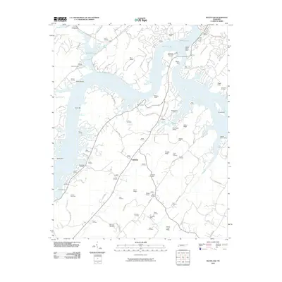 2010 Bacon Gap2010 Print · USGSCovers Roane County, including Kingston, Rockwood, and other nearby areas
 - 2010 Map of Roddy, 2010 Print
 2010 Roddy2010 Print · USGSCovers Roane County, including Reid Camp, Roddy, and other nearby areas
 - 2010 Map of Philadelphia, 2010 Print
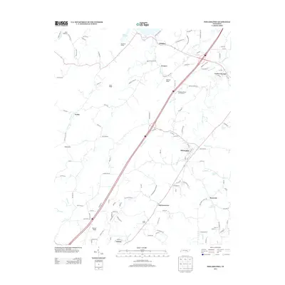
 2010 Philadelphia2010 Print · USGSCovers Roane County, including Loudon, Sweetwater, and other nearby areas
 - 2010 Map of Rockwood, 2010 Print
 2010 Rockwood2010 Print · USGSCovers Roane County, including Rockwood, Shenandoah Estates, and other nearby areas
 - 2010 Map of Cardiff, 2010 Print
 2010 Cardiff2010 Print · USGSCovers Roane County, including Rockwood, Mount Vernon, and other nearby areas
 - 2010 Map of Lenoir City, 2010 Print
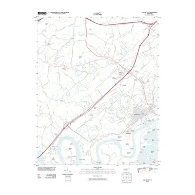 2010 Lenoir City2010 Print · USGSCovers Roane County, including Oak Ridge, Lenoir City, and other nearby areas
 - 2010 Map of Harriman, 2010 Print
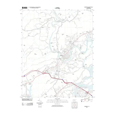 2010 Harriman2010 Print · USGSCovers Roane County, including Kingston, Harriman, and other nearby areas
 - 2010 Map of Cave Creek, 2010 Print
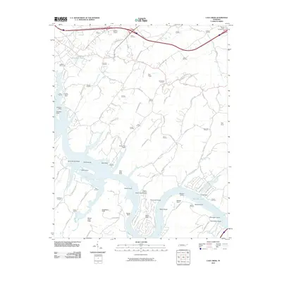 2010 Cave Creek2010 Print · USGSCovers Roane County, including Kingston, Loudon, and other nearby areas
 - 2010 Map of Bethel Valley, 2010 Print
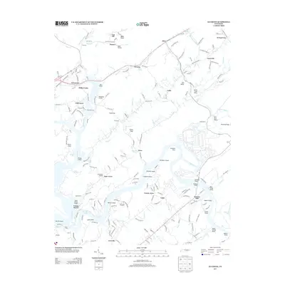
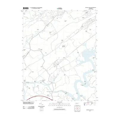 2010 Bethel Valley2010 Print · USGSCovers Roane County, including Oak Ridge, Lenoir City, and other nearby areas
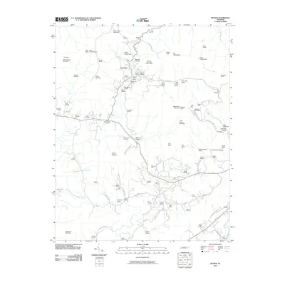
 - 2010 Map of Windrock, 2010 Print
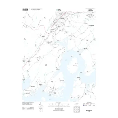
 2010 Windrock2010 Print · USGSCovers Roane County, including Oak Ridge, Oliver Springs, and other nearby areas
 - 2010 Map of Petros, 2010 Print
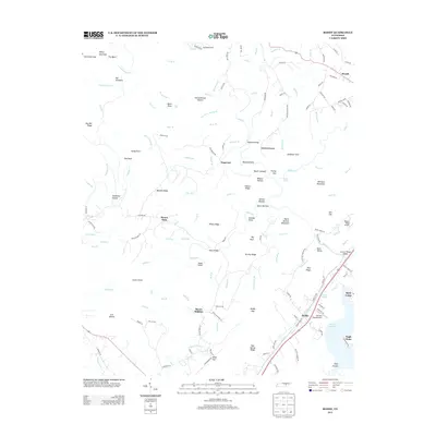
 2010 Petros2010 Print · USGSCovers Roane County, including Union, Stephens, and other nearby areas
 - 2011 Map of Ten Mile, 2011 Print
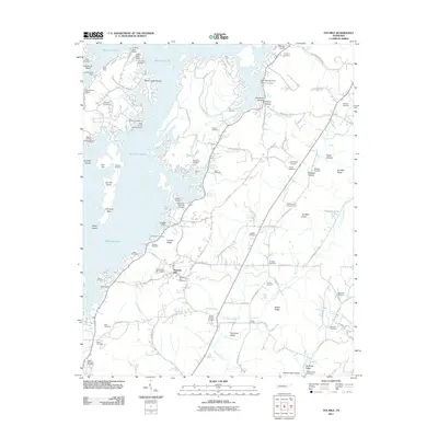 2011 Ten Mile2011 Print · USGSCovers Roane County, including Eden of the Lake, Ten Mile, and other nearby areas
 - 2013 Map of Petros, 2013 Print
 2013 Petros2013 Print · USGSCovers Roane County, including Union, Stephens, and other nearby areas
 - 2013 Map of Windrock, 2013 Print
 2013 Windrock2013 Print · USGSCovers Roane County, including Oak Ridge, Oliver Springs, and other nearby areas
 - 2013 Map of Roddy, 2013 Print
 2013 Roddy2013 Print · USGSCovers Roane County, including Reid Camp, Roddy, and other nearby areas
 - 2013 Map of Elverton, 2013 Print
 2013 Elverton2013 Print · USGSCovers Roane County, including Oak Ridge, Kingston, and other nearby areas
 - 2013 Map of Philadelphia, 2013 Print
 2013 Philadelphia2013 Print · USGSCovers Roane County, including Loudon, Sweetwater, and other nearby areas
 - 2013 Map of Harriman, 2013 Print
 2013 Harriman2013 Print · USGSCovers Roane County, including Kingston, Harriman, and other nearby areas
 - 2013 Map of Rockwood, 2013 Print
 2013 Rockwood2013 Print · USGSCovers Roane County, including Rockwood, Shenandoah Estates, and other nearby areas
 - 2013 Map of Lenoir City, 2013 Print
 2013 Lenoir City2013 Print · USGSCovers Roane County, including Oak Ridge, Lenoir City, and other nearby areas
 - 2013 Map of Bethel Valley, 2013 Print
 2013 Bethel Valley2013 Print · USGSCovers Roane County, including Oak Ridge, Lenoir City, and other nearby areas
 - 2013 Map of Ten Mile, 2013 Print
 2013 Ten Mile2013 Print · USGSCovers Roane County, including Eden of the Lake, Ten Mile, and other nearby areas
Showing maps 1-25 of 71
Top cities of Roane County
Frequently asked questions
- What are the different types of historical maps available for Roane County?
- What is the oldest map of Roane County?
- Where can I purchase historical maps of Roane County for my home or office?
- Where can I download high-res historical maps of Roane County?
- Are there historical topographic maps available for Roane County?
- Is there historical aerial imagery available for Roane County?
- Where are historical maps of Roane County sourced from?