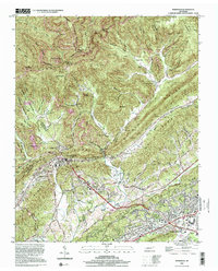
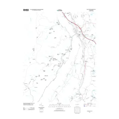
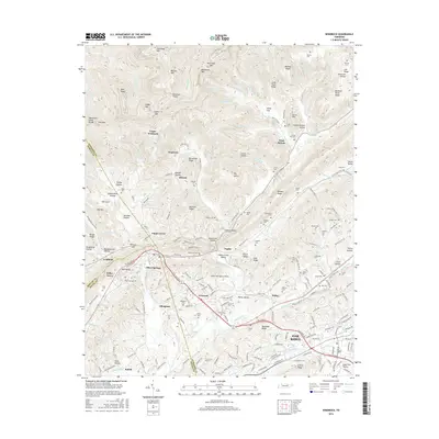
2000 Map of Windrock
USGS Topo · Published 2001About this map
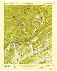
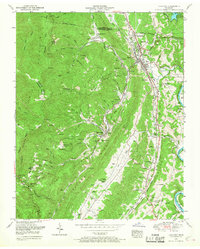
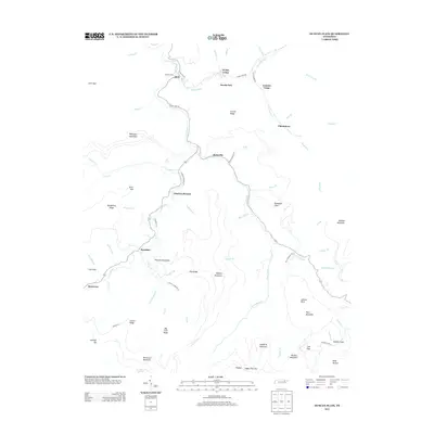
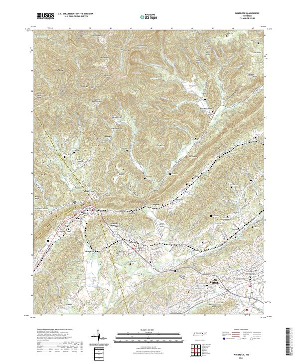
Walden Ridge and Dutch Valley dominate this landscape where the Cumberland Plateau meets the Tennessee Valley. The terrain is marked by significant extractive industry, with strip mines cutting across Buffalo Mountain and the high slopes of Windrock Ridge. At the base of the ridge, Oliver Springs serves as a central hub where the borders of Anderson, Morgan, and Roane counties converge.
Find a feature on this map
79 named features on this map. Tap any name to fly to it.
Don’t see what you’re looking for? This feature index may not catch every label — zoom into the map to look around manually.
Map Details
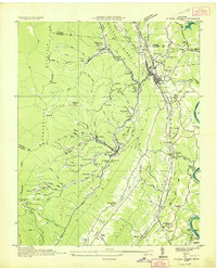
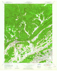
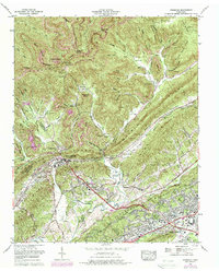
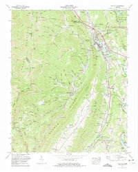
Editions of this 2000 Windrock Map
This is the sole edition of this map. No revisions or reprints were ever made.
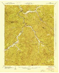
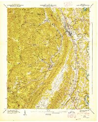
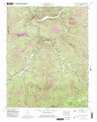
Historical Maps of Oak Ridge Through Time
28 maps found
1936 Coal Creek
Anderson County, TN
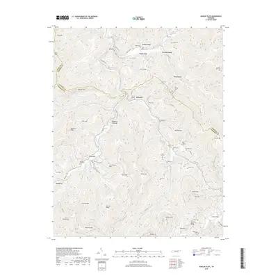
1936 Duncan Flats
Anderson County, TN

1936 Norris Dam
Anderson County, TN
1936 Windrock
Anderson County, TN
1946 Windrock
Anderson County, TN
1947 Duncan Flats
Anderson County, TN
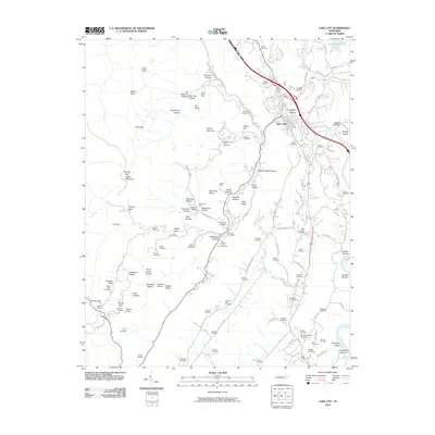
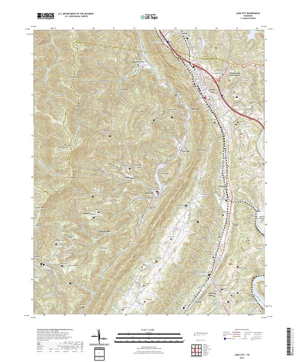
1947 Lake City
Anderson County, TN
1952 Duncan Flats
Anderson County, TN
1952 Lake City
Anderson County, TN
1952 Windrock
Anderson County, TN
1968 Windrock
Anderson County, TN
1973 Lake City
Anderson County, TN
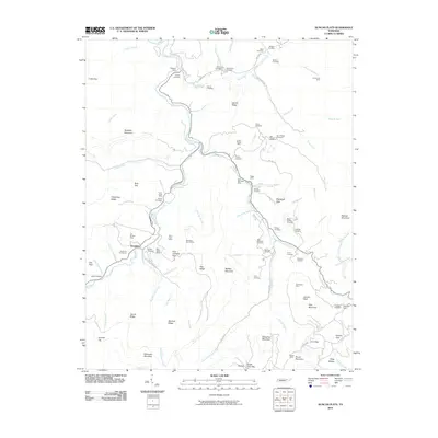
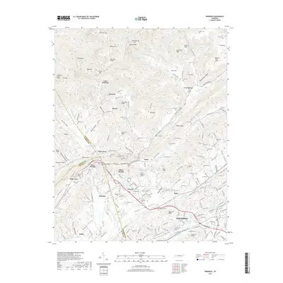
2000 Windrock
Anderson County, TN
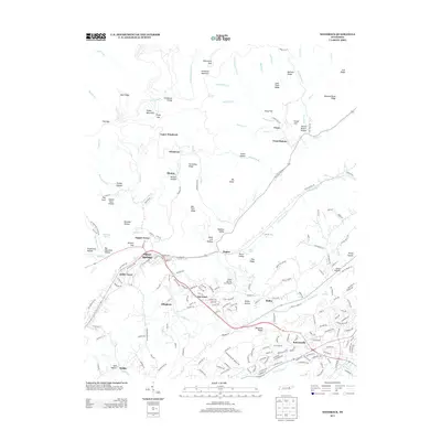
2010 Duncan Flats
Anderson County, TN
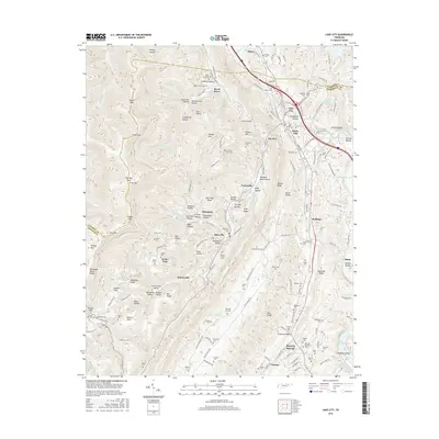
2010 Lake City
Anderson County, TN
2010 Windrock
Anderson County, TN
2013 Duncan Flats
Anderson County, TN
2013 Lake City
Anderson County, TN
2013 Windrock
Anderson County, TN
2016 Duncan Flats
Anderson County, TN
2016 Lake City
Anderson County, TN
2016 Windrock
Anderson County, TN
2019 Duncan Flats
Anderson County, TN

2019 Lake City
Anderson County, TN
2019 Windrock
Anderson County, TN

2022 Duncan Flats
Anderson County, TN
2022 Lake City
Anderson County, TN
2022 Windrock
Anderson County, TN