2000s (21st Century) Maps of Kingston, Tennessee
Explore 20 historic maps of Kingston from the 2000s (21st Century). These maps offer a rare glimpse into what life looked like during the 2000s — showing old roads, neighborhoods, homes, and landmarks that have changed or disappeared over time.
Whether you're researching your family's past, planning a metal detecting trip, or studying how Kingston's landscape evolved across the 2000s, these high-resolution maps are a powerful tool for exploring the history of this region.
- Focus on a specific era: All maps on this page are from the 2000s, giving you a focused view of this time period.
- See what’s changed: Compare century-old streets, trails, and buildings to today's modern landscape using overlays and satellite layers.
- Research with precision: Use these maps for genealogy, historical research, land use analysis, or educational projects.
- View, download, or print: Maps are fully viewable online in high resolution, and can be downloaded or printed for your own records.
Start exploring Kingston's history through authentic maps from the 2000s. This is your window into the past.
Kingston, TN maps
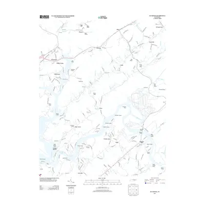
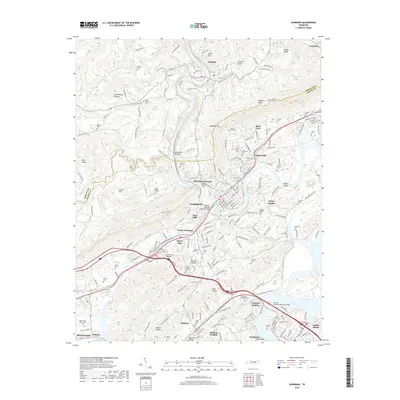
(20)- 2010 Map of Elverton, 2010 Print
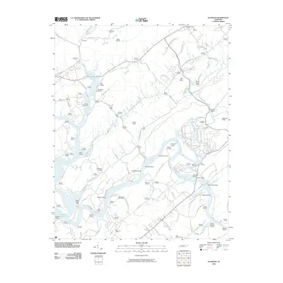 2010 Elverton2010 Print · USGSCovers Kingston, including Oak Ridge, Kries, and other nearby areas
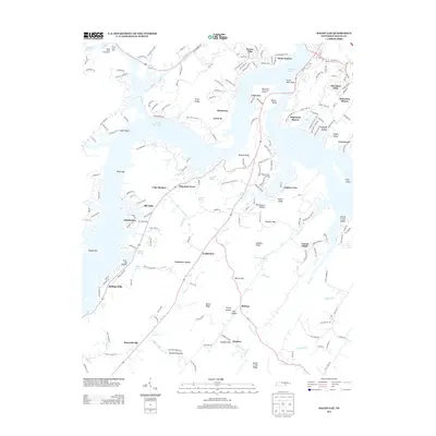
 - 2010 Map of Bacon Gap, 2010 Print
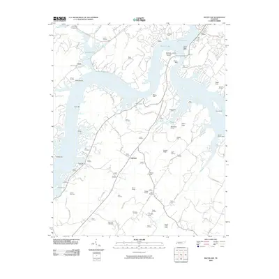 2010 Bacon Gap2010 Print · USGSCovers Kingston, including Rockwood, Midtown, and other nearby areas
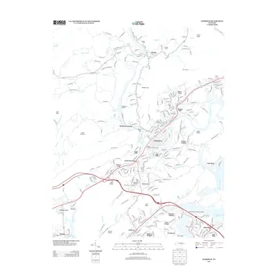
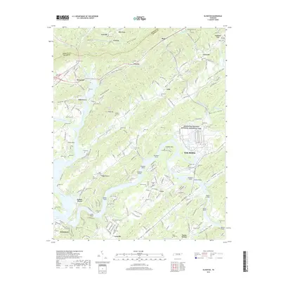
 - 2010 Map of Harriman, 2010 Print
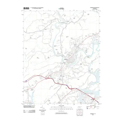 2010 Harriman2010 Print · USGSCovers Kingston, including Harriman, Rockwood, and other nearby areas
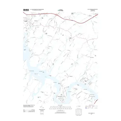
 - 2010 Map of Cave Creek, 2010 Print
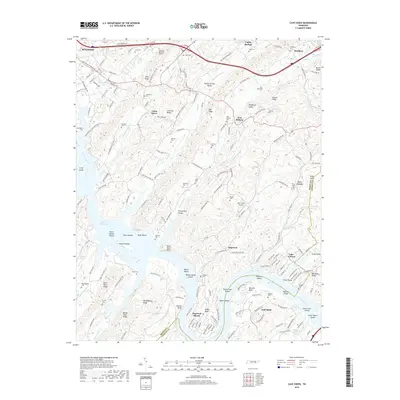
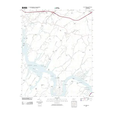 2010 Cave Creek2010 Print · USGSCovers Kingston, including Loudon, Hamilton Subdivision, and other nearby areas
 - 2013 Map of Elverton, 2013 Print
 2013 Elverton2013 Print · USGSCovers Kingston, including Oak Ridge, Kries, and other nearby areas
 - 2013 Map of Harriman, 2013 Print
 2013 Harriman2013 Print · USGSCovers Kingston, including Harriman, Rockwood, and other nearby areas
 - 2013 Map of Bacon Gap, 2013 Print
 2013 Bacon Gap2013 Print · USGSCovers Kingston, including Rockwood, Midtown, and other nearby areas
 - 2013 Map of Cave Creek, 2013 Print
 2013 Cave Creek2013 Print · USGSCovers Kingston, including Loudon, Hamilton Subdivision, and other nearby areas
 - 2016 Map of Bacon Gap, 2016 Print
 2016 Bacon Gap2016 Print · USGSCovers Kingston, including Rockwood, Midtown, and other nearby areas
 - 2016 Map of Harriman, 2016 Print
 2016 Harriman2016 Print · USGSCovers Kingston, including Harriman, Rockwood, and other nearby areas
 - 2016 Map of Cave Creek, 2016 Print
 2016 Cave Creek2016 Print · USGSCovers Kingston, including Loudon, Hamilton Subdivision, and other nearby areas
 - 2016 Map of Elverton, 2016 Print
 2016 Elverton2016 Print · USGSCovers Kingston, including Oak Ridge, Kries, and other nearby areas
 - 2019 Map of Harriman, 2019 Print
 2019 Harriman2019 Print · USGSCovers Kingston, including Harriman, Rockwood, and other nearby areas
 - 2019 Map of Cave Creek, 2019 Print
 2019 Cave Creek2019 Print · USGSCovers Kingston, including Loudon, Hamilton Subdivision, and other nearby areas
 - 2019 Map of Elverton, 2019 Print
 2019 Elverton2019 Print · USGSCovers Kingston, including Oak Ridge, Kries, and other nearby areas
 - 2019 Map of Bacon Gap, 2019 Print
 2019 Bacon Gap2019 Print · USGSCovers Kingston, including Rockwood, Midtown, and other nearby areas
 - 2022 Map of Elverton, 2022 Print
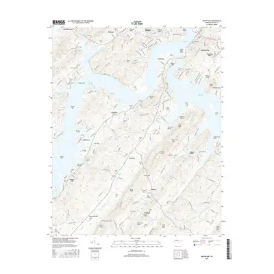
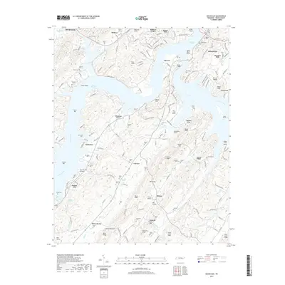
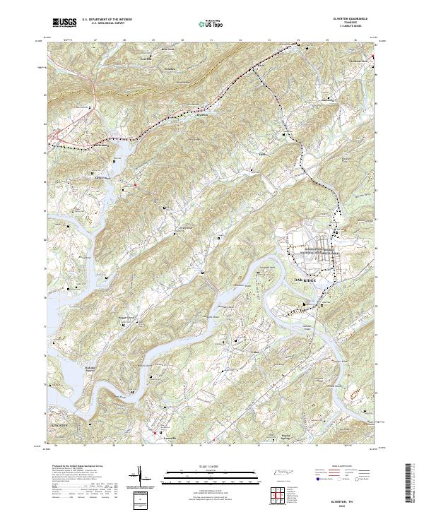 2022 Elverton2022 Print · USGSThe confluence of the Clinch and Emory Rivers in Roane County is captured here during the early twenty-first century. Genealogists and local historians can trace family-named burial grounds like Jonesville Cem and Ladd Cem, or explore the footprint of the Manhattan Project National Historical Park.
 - 2022 Map of Cave Creek, 2022 Print
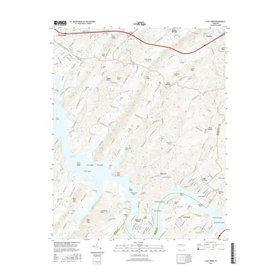
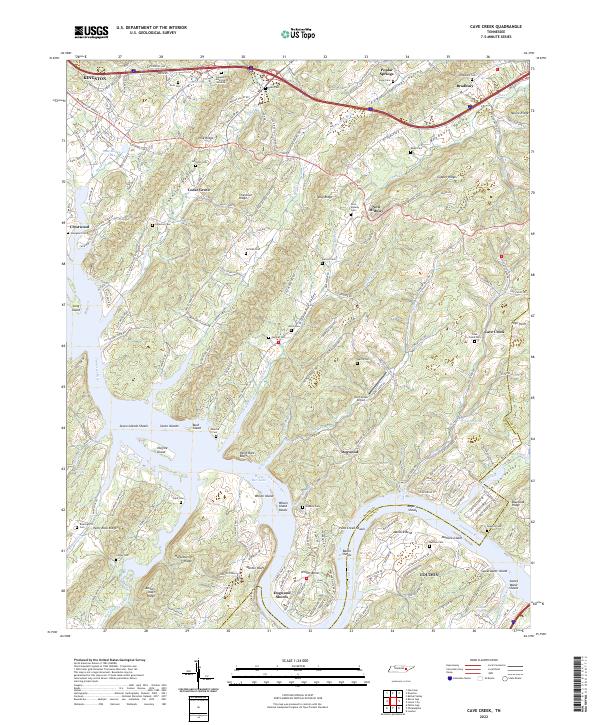 2022 Cave Creek2022 Print · USGSThe Tennessee River valley south of Kingston appears in this recent survey, showing the complex interplay of ridges and river bends. Genealogists can trace family names at Bradbury Cemetery, Johnston Cemetery, and the Wolf Creek Airport.
 - 2022 Map of Harriman, 2022 Print
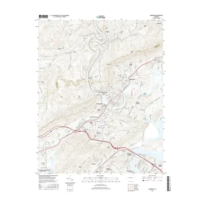
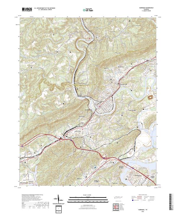 2022 Harriman2022 Print · USGSHarriman and Kingston come alive in this contemporary record of the Tennessee Valley and the base of the Cumberland Plateau. Genealogists can trace numerous family burial sites such as Hannah Cem and Daniels Cem alongside the historic Emory River.
 - 2023 Map of Bacon Gap, 2023 Print
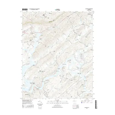
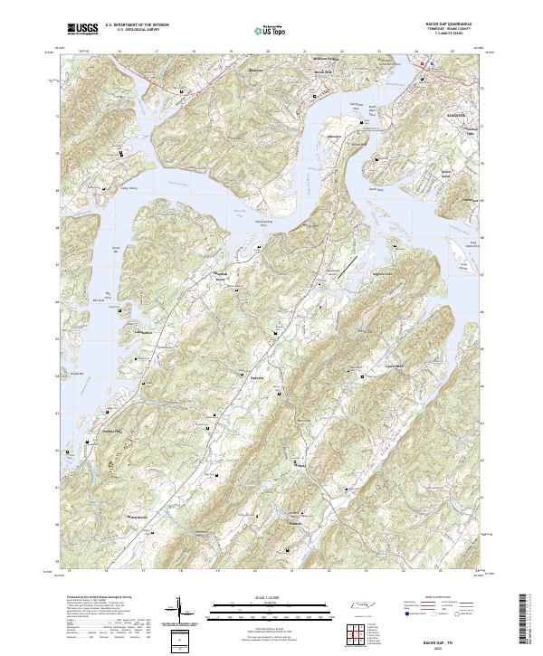 2023 Bacon Gap2023 Print · USGSRoane County near Kingston is mapped here in the early twenty-first century, showcasing a landscape of river-bend settlements and ridge-top views. Researchers can locate numerous family burial grounds like Bacon Cem and the historical Slave Cem, or trace old crossings at Hood Landing Ferry.
End of results
Showing maps 1-20 of 20
Top cities near Kingston
- Oak Ridge historical maps
- Lenoir City historical maps
- Tellico Village historical maps
- Harriman historical maps
- Loudon historical maps
- Rockwood historical maps
See more
Top neighborhoods of Kingston
- Oak Hills historical maps
- Laddie Village historical maps
- Lawnville Meadows historical maps
- Cherokee Hills historical maps
Frequently asked questions
- What are the different types of historical maps available for Kingston?
- What is the oldest map of Kingston?
- Where can I purchase historical maps of Kingston for my home or office?
- Where can I download high-res historical maps of Kingston?
- Are there historical topographic maps available for Kingston?
- Is there historical aerial imagery available for Kingston?
- Where are historical maps of Kingston sourced from?