Old Maps of Ponderosa, Tennessee for Academic Research
Study the evolution of Ponderosa with 20 high-resolution historic maps. Whether you're teaching, researching, or modeling changes in land use, these maps provide essential visual documentation of urban, environmental, and geographic change.
- Analyze long-term change: Track patterns in development, transportation, and natural features.
- Ideal for environmental or urban studies: Support academic projects with primary historical map data.
- Use in the classroom or lab: Educators and researchers rely on these maps to bring historical context to life.
These maps are a powerful tool for teaching, research, and visualizing how Ponderosa has changed over the decades.
Ponderosa, TN maps
(20)- 1887 Map of Kingston
 1887 Kingston1887 Print · USGSCentral Tennessee in the late nineteenth century was a world of river landings and new rail lines. Genealogists can trace family roots through riverside sites like Sevier's Ferry or rural hubs like Bogges X Roads and Ten Mile Stand.
 - 1891 Map of Kingston
 1891 Kingston1891 Print · USGSEastern Tennessee in the 1890s reveals a river-driven economy at the edge of the Cumberland Plateau. Genealogists can trace early crossings and landings such as Mc Elwee's Ferry and Pinhook Landing, or locate vanished crossroads like Kemmers Old Stand.2 unique versions available
 - 1893 Map of Kingston, 1905 Print
 1893 Kingston1905 Print · USGSEastern Tennessee at the end of the nineteenth century is a landscape of mountain gaps and vital river landings. Researchers can trace early river crossings like Jackson Ferry, the path of the Cincinnati Southern Railroad, and settlements like Rhea Springs and Kingston.5 unique versions available
 - 1935 Map of Harriman
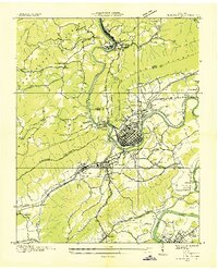 1935 Harriman1935 Print · USGSMid-1930s Roane County reveals a busy rail and river corridor where the Cumberland Escarpment meets the Tennessee Valley. Genealogists and historians can trace family landmarks like Suddaths Ferry, Bazzletown Sch, and the grounds of CCC Camp No 37.
 - 1941 Map of Harriman
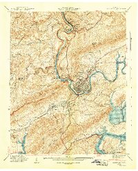 1941 Harriman1941 Print · USGSHarriman and the Emory River valley are captured here just as the landscape was transforming for the new reservoir system. Researchers can trace the convergence of three major railroads and find family landmarks like Delozier Cem, Woods Chapel, and Cardiff Sch.3 unique versions available
 - 1952 Map of Harriman, 1954 Print
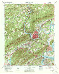
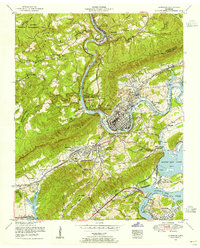 1952 Harriman1954 Print · USGSThe river towns of Harriman and Kingston are captured in the early 1950s as the Tennessee Valley Authority shaped the local landscape. Genealogists can locate family landmarks such as Harriman Cemetery, Rankin School, and Williams Chapel.
 - 1953 Map of Chattanooga
 1953 Chattanooga1953 Print · USGSSoutheast Tennessee in the early fifties shows a landscape reshaped by river management and rail power. Trace the rail lines of the Southern Ry through riverside towns or locate the preserved grounds of the Chickamauga and Chattanooga National Military Park.
 - 1953 Map of Harriman, 1964 Print
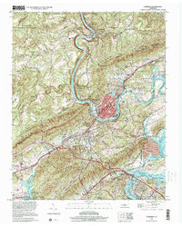
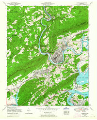 1953 Harriman1964 Print · USGSIn the early fifties, the confluence of the Emory and Clinch Rivers anchored a landscape of burgeoning energy and deep-rooted rail history. Genealogists and historians can trace the foundations of Harriman alongside local landmarks like Rankin School and the Kingston Steam Plant.
 - 1957 Map of Chattanooga, 1966 Print
 1957 Chattanooga1966 Print · USGSEast Tennessee in the mid-1960s shows a landscape of massive hydroelectric reservoirs and emerging industrial sites like the Atomic Energy Commission (Oak Ridge Area). Trace the rail networks of the Southern Ry through Chattanooga or locate family-named ridges across the Cumberland Plateau.3 unique versions available
 - 1959 Map of Chattanooga
 1959 Chattanooga1959 Print · USGSSoutheast Tennessee is shown here during a decade of industrial growth and hydroelectric development. Trace the regional rail networks of the Southern Ry and find landmark sites like Lookout Mountain, Fall Creek Falls State Park, and Chattanooga.
 - 1960 Map of Chattanooga
 1960 Chattanooga1960 Print · USGSSoutheast Tennessee and the southern Appalachians are shown here at the height of the river-management era. You can trace the valley rail lines and locate Lookout Mountain and the expansive waters of Chickamauga Reservoir.
 - 1964 Map of Chattanooga
 1964 Chattanooga1964 Print · USGSSoutheast Tennessee and the western Carolinas appear in the mid-sixties as a powerhouse of river-driven industry and mountain wilderness. Genealogists and historians can trace rail-town lineages along the Southern Ry or locate family landmarks near Watts Bar Lake and Tellico Plains.
 - 1968 Map of Harriman, 1971 Print
 1968 Harriman1971 Print · USGSHarriman and Kingston sit at the junction of the river and rail lines in the late sixties as the TVA system reshaped the valley. Trace family history at Bazel Town Cem, follow the historic Old Walton Road, or locate the Kingston Steam Plant.3 unique versions available
 - 1981 Map of Watts Bar Lake, 1984 Print
 1981 Watts Bar Lake1984 Print · USGSEast Tennessee's river valleys and industrial corridors are captured here during the expansion of the TVA power system in the early eighties. Researchers can trace the legacy of the Southern Railway and the development of Watts Bar Lake and Tellico Lake.2 unique versions available
 - 1998 Map of Harriman, 2001 Print
 1998 Harriman2001 Print · USGSHarriman and Kingston meet at the confluence of the Emory and Clinch rivers in the late nineties, documenting a landscape shaped by ridge-top topography and power generation. Genealogists and local historians can trace family sites like Brazel Cem and landmarks such as the Kingston Steam Plant or the historic Old Walton Road.
 - 2010 Map of Harriman, 2010 Print
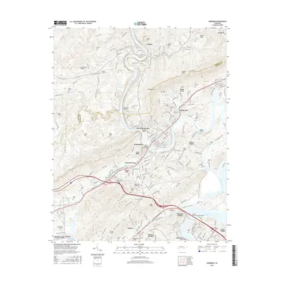
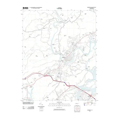 2010 Harriman2010 Print · USGSCovers Ponderosa, including Kingston, Harriman, and other nearby areas
 - 2013 Map of Harriman, 2013 Print
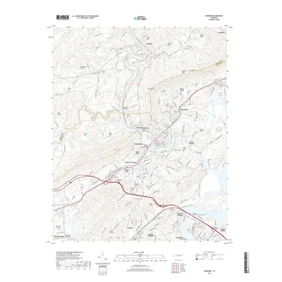
 2013 Harriman2013 Print · USGSCovers Ponderosa, including Kingston, Harriman, and other nearby areas
 - 2016 Map of Harriman, 2016 Print
 2016 Harriman2016 Print · USGSCovers Ponderosa, including Kingston, Harriman, and other nearby areas
 - 2019 Map of Harriman, 2019 Print
 2019 Harriman2019 Print · USGSCovers Ponderosa, including Kingston, Harriman, and other nearby areas
 - 2022 Map of Harriman, 2022 Print
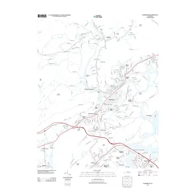
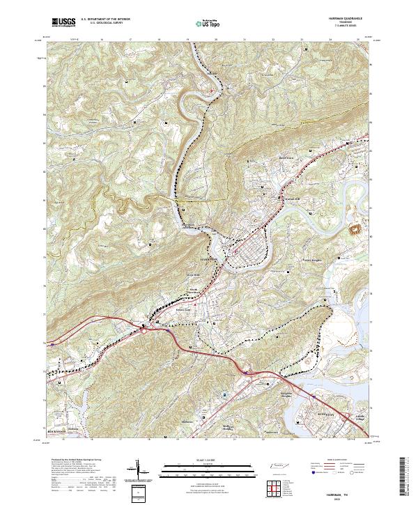 2022 Harriman2022 Print · USGSHarriman and Kingston come alive in this contemporary record of the Tennessee Valley and the base of the Cumberland Plateau. Genealogists can trace numerous family burial sites such as Hannah Cem and Daniels Cem alongside the historic Emory River.
End of results
Showing maps 1-20 of 20
Top cities near Ponderosa
- Oak Ridge historical maps
- Lenoir City historical maps
- Kingston historical maps
- Harriman historical maps
- Loudon historical maps
- Rockwood historical maps
See more
Frequently asked questions
- What are the different types of historical maps available for Ponderosa?
- What is the oldest map of Ponderosa?
- Where can I purchase historical maps of Ponderosa for my home or office?
- Where can I download high-res historical maps of Ponderosa?
- Are there historical topographic maps available for Ponderosa?
- Is there historical aerial imagery available for Ponderosa?
- Where are historical maps of Ponderosa sourced from?