Old Maps of Rockwood, Tennessee for Hiking & Exploration
Hike through history with 48 historic maps of Rockwood. Explore old trails, ghost towns, and forgotten backroads — perfect for outdoor adventurers and local explorers.
- Rediscover forgotten places: Map out old mining camps, roads, and footpaths that no longer exist on modern maps.
- Layer with modern tools: Combine with LiDAR or satellite views to plan hikes through historical terrain.
- Made for exploration: Popular among hikers, overlanders, and local history lovers.
Use these maps to find adventure and explore the hidden past of Rockwood.
Rockwood, TN maps
(48)- 1887 Map of Kingston
 1887 Kingston1887 Print · USGSCentral Tennessee in the late nineteenth century was a world of river landings and new rail lines. Genealogists can trace family roots through riverside sites like Sevier's Ferry or rural hubs like Bogges X Roads and Ten Mile Stand.
 - 1891 Map of Kingston
 1891 Kingston1891 Print · USGSEastern Tennessee in the 1890s reveals a river-driven economy at the edge of the Cumberland Plateau. Genealogists can trace early crossings and landings such as Mc Elwee's Ferry and Pinhook Landing, or locate vanished crossroads like Kemmers Old Stand.2 unique versions available
 - 1893 Map of Kingston, 1905 Print
 1893 Kingston1905 Print · USGSEastern Tennessee at the end of the nineteenth century is a landscape of mountain gaps and vital river landings. Researchers can trace early river crossings like Jackson Ferry, the path of the Cincinnati Southern Railroad, and settlements like Rhea Springs and Kingston.5 unique versions available
 - 1935 Map of Rockwood
 1935 Rockwood1935 Print · USGSMid-century Roane County comes into focus as a rail and river crossroads before the landscape was altered by large-scale TVA projects. Genealogists can trace family connections through numerous landmarks like Oak Grove Cem, Eureka, and the Winten Sch.
 - 1935 Map of Harriman
 1935 Harriman1935 Print · USGSMid-1930s Roane County reveals a busy rail and river corridor where the Cumberland Escarpment meets the Tennessee Valley. Genealogists and historians can trace family landmarks like Suddaths Ferry, Bazzletown Sch, and the grounds of CCC Camp No 37.
 - 1936 Map of Cardiff
 1936 Cardiff1936 Print · USGSThe Cumberland Plateau meets the valley floor in the mid-1930s, showing a landscape shaped by the ridge and rail. Researchers can trace the development of Rockwood and Cardiff or locate rural landmarks like Dry Hill Ch and Hatley Sch.2 unique versions available
 - 1936 Map of Bacon Gap
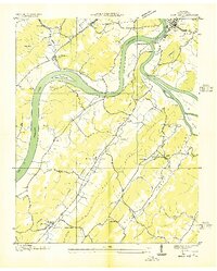 1936 Bacon Gap1936 Print · USGSRoane County in the mid-1930s shows a landscape shaped by its great river junction and rural ridge communities. Genealogists can locate family landmarks like Bethel Cem, Barnetts Narrows, and river crossings such as James Ferry and Hood Landing Ferry.2 unique versions available
 - 1940 Map of Rockwood
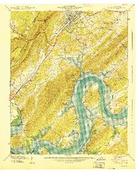 1940 Rockwood1940 Print · USGSThe Tennessee River valley at Rockwood is shown here during the transition to the reservoir era in the early 1940s. Genealogists can locate family sites like Odd Fellows Cem, trace the railroad to Glen Alice, or find old schools like New Hope Sch.
 - 1940 Map of Bacon Gap
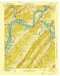 1940 Bacon Gap1940 Print · USGSThe Roane County riverfront is captured here just before the Watts Bar Reservoir floodwaters arrived in the early 1940s. Genealogists can trace family-named sites like Barnardsville and Bacon Ridge or locate community anchors such as Fairview Sch and Caney Ford Ch.2 unique versions available
 - 1941 Map of Harriman
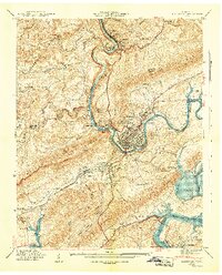 1941 Harriman1941 Print · USGSHarriman and the Emory River valley are captured here just as the landscape was transforming for the new reservoir system. Researchers can trace the convergence of three major railroads and find family landmarks like Delozier Cem, Woods Chapel, and Cardiff Sch.3 unique versions available
 - 1946 Map of Cardiff
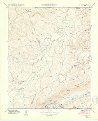 1946 Cardiff1946 Print · USGSThe industrial corridor near Rockwood and Cardiff sits at the foot of Walden Ridge during the mid-1940s. Genealogists can trace family footprints across several rural schools and burial grounds, including Dry Hill Sch, Skidmore Cem, and Ault Cem.
 - 1949 Map of Cardiff
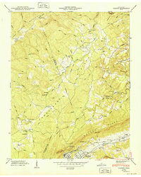 1949 Cardiff1949 Print · USGSPost-war Roane and Morgan counties are shown here as the industrial valley meets the high plateau. Researchers can trace early rural life through family landmarks like Skidmore Cem, small institutions such as Hatley Sch, and the rail lines serving Rockwood.
 - 1952 Map of Rockwood, 1954 Print
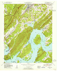 1952 Rockwood1954 Print · USGSRockwood and the Tennessee River valley are shown here in the early fifties, just as the landscape was adapting to the waters of Watts Bar Lake. Genealogists and local historians can trace family land near Eagle Furnace, Glen Alice, and the Odd Fellows Cemetery.2 unique versions available
 - 1952 Map of Cardiff, 1954 Print
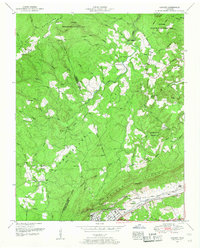 1952 Cardiff1954 Print · USGSThe ridges of Roane and Morgan counties meet in the early fifties, showing the industrial rail corridor alongside traditional mountain life. Genealogists can trace family names at Skidmore Cemetery or Snow Cemetery and locate rural landmarks like Dry Hill School.2 unique versions available
 - 1952 Map of Harriman, 1954 Print
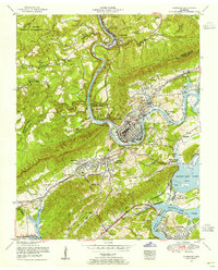 1952 Harriman1954 Print · USGSThe river towns of Harriman and Kingston are captured in the early 1950s as the Tennessee Valley Authority shaped the local landscape. Genealogists can locate family landmarks such as Harriman Cemetery, Rankin School, and Williams Chapel.
 - 1952 Map of Bacon Gap, 1955 Print
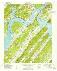 1952 Bacon Gap1955 Print · USGSIn the early fifties, the convergence of the Clinch and Tennessee Rivers at Kingston was being transformed by the waters of Watts Bar Lake. Researchers can trace ancestral sites like Bowman Cemetery, the historic Old Walton Road, and the rural Midway School.
 - 1953 Map of Chattanooga
 1953 Chattanooga1953 Print · USGSSoutheast Tennessee in the early fifties shows a landscape reshaped by river management and rail power. Trace the rail lines of the Southern Ry through riverside towns or locate the preserved grounds of the Chickamauga and Chattanooga National Military Park.
 - 1953 Map of Harriman, 1964 Print
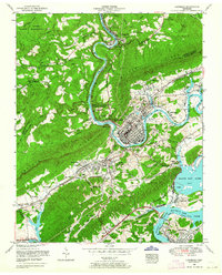 1953 Harriman1964 Print · USGSIn the early fifties, the confluence of the Emory and Clinch Rivers anchored a landscape of burgeoning energy and deep-rooted rail history. Genealogists and historians can trace the foundations of Harriman alongside local landmarks like Rankin School and the Kingston Steam Plant.
 - 1957 Map of Chattanooga, 1966 Print
 1957 Chattanooga1966 Print · USGSEast Tennessee in the mid-1960s shows a landscape of massive hydroelectric reservoirs and emerging industrial sites like the Atomic Energy Commission (Oak Ridge Area). Trace the rail networks of the Southern Ry through Chattanooga or locate family-named ridges across the Cumberland Plateau.3 unique versions available
 - 1959 Map of Chattanooga
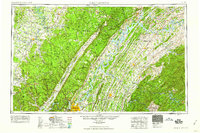 1959 Chattanooga1959 Print · USGSSoutheast Tennessee is shown here during a decade of industrial growth and hydroelectric development. Trace the regional rail networks of the Southern Ry and find landmark sites like Lookout Mountain, Fall Creek Falls State Park, and Chattanooga.
 - 1960 Map of Chattanooga
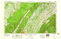 1960 Chattanooga1960 Print · USGSSoutheast Tennessee and the southern Appalachians are shown here at the height of the river-management era. You can trace the valley rail lines and locate Lookout Mountain and the expansive waters of Chickamauga Reservoir.
 - 1964 Map of Chattanooga
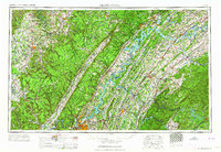 1964 Chattanooga1964 Print · USGSSoutheast Tennessee and the western Carolinas appear in the mid-sixties as a powerhouse of river-driven industry and mountain wilderness. Genealogists and historians can trace rail-town lineages along the Southern Ry or locate family landmarks near Watts Bar Lake and Tellico Plains.
 - 1968 Map of Bacon Gap, 1971 Print
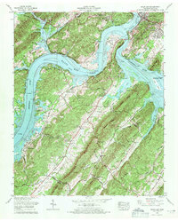 1968 Bacon Gap1971 Print · USGSThe confluence of the Clinch and Tennessee Rivers is captured here in the late sixties as the Roane County landscape evolved around the waters of Watts Bar Lake. Genealogists can locate numerous family burial sites such as Bacon Cem and De Armond Cem, alongside the historic Walton Road.4 unique versions available
 - 1968 Map of Cardiff, 1971 Print
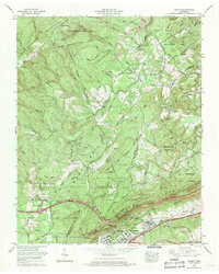 1968 Cardiff1971 Print · USGSThe Cumberland Plateau meets the Tennessee valley in the late 1960s, a landscape defined by state forests, wildlife areas, and coal extraction. Genealogists can locate family landmarks like Mt Pisgah Church and the Skidmore Cem, or trace the historical Old Walton Road.4 unique versions available
 - 1968 Map of Harriman, 1971 Print
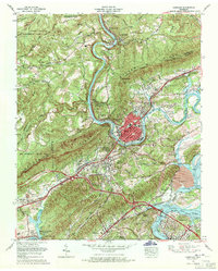 1968 Harriman1971 Print · USGSHarriman and Kingston sit at the junction of the river and rail lines in the late sixties as the TVA system reshaped the valley. Trace family history at Bazel Town Cem, follow the historic Old Walton Road, or locate the Kingston Steam Plant.3 unique versions available
Showing maps 1-25 of 48
Top cities near Rockwood
- Fairfield Glade historical maps
- Kingston historical maps
- Harriman historical maps
- Spring City historical maps
- Midtown historical maps
- Crab Orchard historical maps
See more
Top neighborhoods of Rockwood
- Lakemont Heights historical maps
- College Grove historical maps
- Highland Forest historical maps
- Cardiff historical maps
- Dodson historical maps
Frequently asked questions
- What are the different types of historical maps available for Rockwood?
- What is the oldest map of Rockwood?
- Where can I purchase historical maps of Rockwood for my home or office?
- Where can I download high-res historical maps of Rockwood?
- Are there historical topographic maps available for Rockwood?
- Is there historical aerial imagery available for Rockwood?
- Where are historical maps of Rockwood sourced from?