2010s Maps of Springfield, Tennessee
Explore 16 historic maps of Springfield from the 2010s. These maps offer a rare glimpse into what life looked like during the 2010s — showing old roads, neighborhoods, homes, and landmarks that have changed or disappeared over time.
Whether you're researching your family's past, planning a metal detecting trip, or studying how Springfield's landscape evolved across the 2010s, these high-resolution maps are a powerful tool for exploring the history of this region.
- Focus on a specific era: All maps on this page are from the 2010s, giving you a focused view of this time period.
- See what’s changed: Compare century-old streets, trails, and buildings to today's modern landscape using overlays and satellite layers.
- Research with precision: Use these maps for genealogy, historical research, land use analysis, or educational projects.
- View, download, or print: Maps are fully viewable online in high resolution, and can be downloaded or printed for your own records.
Start exploring Springfield's history through authentic maps from the 2010s. This is your window into the past.
Springfield, TN maps
(16)- 2010 Map of Youngville, 2010 Print
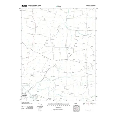 2010 Youngville2010 Print · USGSRobertson County at the turn of the decade is shown here in its transition from traditional farmland to modern settlement patterns. Genealogists and local historians can pinpoint dozens of family burial sites such as Lunsford Cemetery and the Zech Cemetery near Wartrace Lake.
 - 2010 Map of Springfield North, 2010 Print
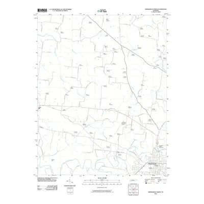 2010 Springfield North2010 Print · USGSRobertson County in 2010 shows a landscape where modern aviation and regional traditions meet deeply rooted family histories. Genealogists can trace decades of local heritage through numerous burial sites like Needmore Cemetery and Winn Cemetery near the Sulphur Fork Red River.
 - 2010 Map of Greenbrier, 2010 Print
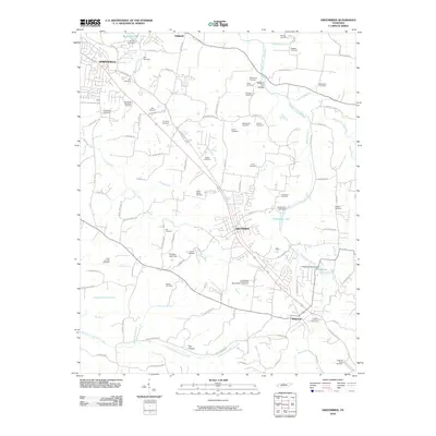 2010 Greenbrier2010 Print · USGSGreenbrier and Ridgetop are shown in the early twenty-first century as they grew along the historic ridges north of Nashville. Genealogists can trace family names through dozens of sites like Lights Chapel Cemetery, Krisle Cemetery, and the Springfield Memorial Gardens.
 - 2010 Map of Springfield South, 2010 Print
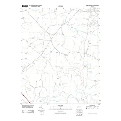 2010 Springfield South2010 Print · USGSThe rural southern outskirts of Springfield come to life in this detailed study of the Middle Tennessee landscape at the start of the 2010s. Genealogists can trace family heritage through dozens of local sites including Saint Michaels Cemetery, Coopertown, and Martins Chapel Cemetery.
 - 2013 Map of Youngville, 2013 Print
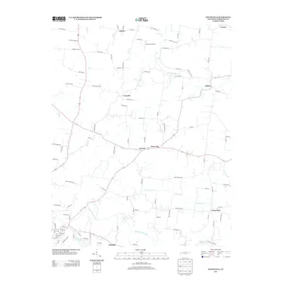 2013 Youngville2013 Print · USGSRobertson County's rural character is on full display in this early twenty-first-century map of the Tennessee tobacco country. Genealogists and local historians can trace family land ties along Jones Roe Rd or explore the settlements of Milldale and Ashburn.
 - 2013 Map of Springfield South, 2013 Print
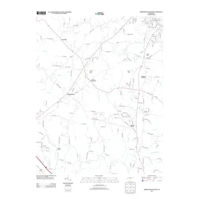 2013 Springfield South2013 Print · USGSThe rural stretches south of Springfield were characterized by small settlements and winding creek valleys at the start of the century. Genealogists and local historians can trace the roads around Coopertown, Chestnut Grove, and the Lipscomb Cemetery Rd as they appeared in this era.
 - 2013 Map of Greenbrier, 2013 Print
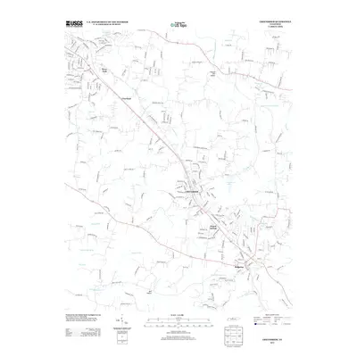 2013 Greenbrier2013 Print · USGSThe Greenbrier and Ridgetop area of Tennessee is shown here in the early twenty-first century, capturing a period of steady residential expansion. Researchers can trace local development around Greenbrier, Hygeia Springs, and the waters of the Sulphur Fork Red River.
 - 2013 Map of Springfield North, 2013 Print
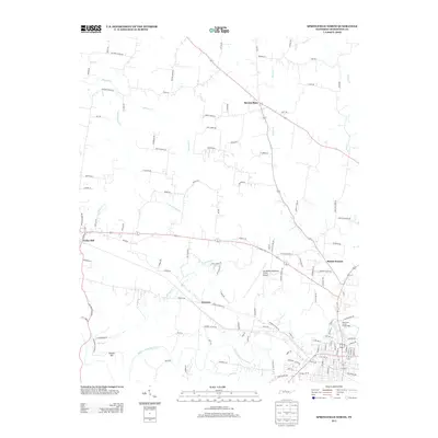 2013 Springfield North2013 Print · USGSRobertson County at the start of the 2010s reveals a blend of deep-rooted rural crossroads and expanding municipal services. Researchers can trace family-named land markers and historic centers like Barren Plain, Kinneys, and the Robertson County Fairgrounds.
 - 2016 Map of Springfield South, 2016 Print
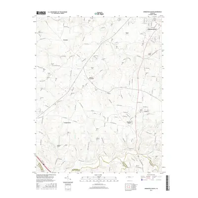 2016 Springfield South2016 Print · USGSSpanning Robertson and Davidson counties in the twenty-tens, this survey captures a landscape of rural communities and historic family burial grounds. Researchers can trace ancestral locations near Coopertown, the Saint Michaels Catholic Church, and numerous sites like Mount Sharon Cem.
 - 2016 Map of Youngville, 2016 Print
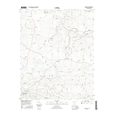 2016 Youngville2016 Print · USGSRobertson County's rural landscape is documented here in the mid-2010s, showing the agricultural heritage north of the county seat. Genealogists can trace family holdings and burials at Durham Cem, Oakland Cem, and near the historic crossroads of Youngville.
 - 2016 Map of Springfield North, 2016 Print
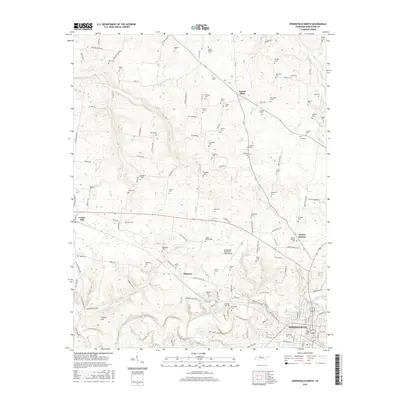 2016 Springfield North2016 Print · USGSRobertson County's fertile farming plateau and the northern outskirts of Springfield are captured here in the mid-2010s. Researchers can trace dozens of family burial sites like Sherrod Cem and Winn Cem or explore the landscape around Barren Plain.
 - 2016 Map of Greenbrier, 2016 Print
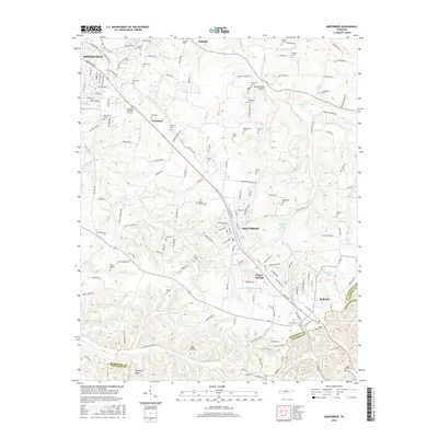 2016 Greenbrier2016 Print · USGSThe Tennessee highlands between Robertson and Davidson counties come into focus here during the mid-2010s. Researchers can trace dozens of family burial sites like Bloodworth Cem and Coggins-Greer Cem or locate the historic waters of Hygeia Springs.
 - 2019 Map of Springfield North, 2019 Print
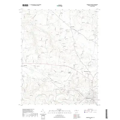 2019 Springfield North2019 Print · USGSNorthern Robertson County is shown here in the late twenty-tens, capturing the rural landscape between Barren Plain and the city of Springfield. Genealogists can locate dozens of family burial sites, from Needmore Cem to the Stark-Baldwin Cem.
 - 2019 Map of Springfield South, 2019 Print
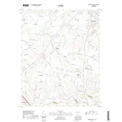 2019 Springfield South2019 Print · USGSRobertson and Davidson counties are revealed here in the late twenty-tens, showing a landscape shaped by rural tradition and modern growth. Genealogists can trace family heritage through numerous burial grounds like Battle Creek Cem, Mount Sharon Cem, and Anthony Cem.
 - 2019 Map of Greenbrier, 2019 Print
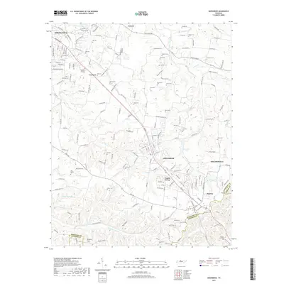 2019 Greenbrier2019 Print · USGSThe hills of Robertson and Davidson counties come into focus during the late 2010s, showing the residential and industrial growth around Greenbrier. Family historians can trace dozens of rural burial sites like Lights Chapel Cem and Rock Springs Cem alongside the waters of Greenbrier Lake.
 - 2019 Map of Youngville, 2019 Print
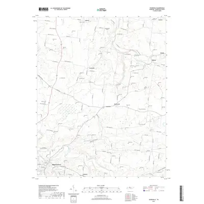 2019 Youngville2019 Print · USGSRobertson County's agricultural heartland appears here at the end of the 2010s, showing the rural crossroads and river valleys north of the county seat. Researchers can trace family history through dozens of local burial grounds like Smelser Cem and Couts Cem or locate the small communities of Youngville and Hubertville.
End of results
Showing maps 1-16 of 16
Top cities near Springfield
- Nashville historical maps
- Hendersonville historical maps
- Goodlettsville historical maps
- White House historical maps
- Millersville historical maps
- Greenbrier historical maps
See more
Top neighborhoods of Springfield
Frequently asked questions
- What are the different types of historical maps available for Springfield?
- What is the oldest map of Springfield?
- Where can I purchase historical maps of Springfield for my home or office?
- Where can I download high-res historical maps of Springfield?
- Are there historical topographic maps available for Springfield?
- Is there historical aerial imagery available for Springfield?
- Where are historical maps of Springfield sourced from?