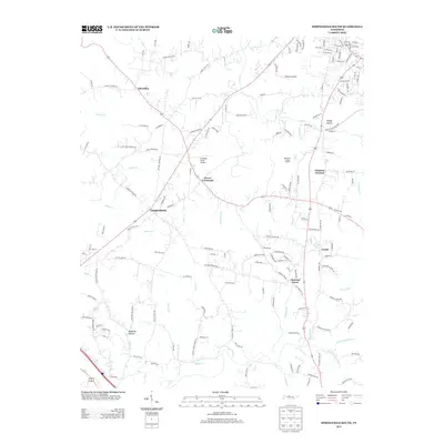
2013 Map of Springfield South
USGS Topo · Published 2013About this map
Coopertown and the surrounding rural communities of Robertson County are captured here in the early 21st century, showing a landscape defined by its creek-fed hollows and winding country roads. The area exhibits a pattern of small settlements such as Flewellyn and Chestnut Grove connected by namesake thoroughfares like Lipscomb Cemetery Rd and Catholic Church Rd.
Find a feature on this map
158 named features on this map. Tap any name to fly to it.
Don’t see what you’re looking for? This feature index may not catch every label — zoom into the map to look around manually.
Map Details
Editions of this 2013 Springfield South Map
This is the sole edition of this map. No revisions or reprints were ever made.
Other maps of this area

1903 · Nashville
USGS Topo · 1:125,000

1931 · Ridgetop
USGS Topo · 1:62,500

1935 · Ridgetop
USGS Topo · 1:62,500

1952 · Springfield North
USGS Topo · 1:24,000

1952 · Youngville
USGS Topo · 1:24,000

1955 · Whites Creek
USGS Topo · 1:24,000

1955 · Forest Grove
USGS Topo · 1:24,000

1956 · Nashville
USGS Topo · 1:250,000

1957 · Adams
USGS Topo · 1:24,000

1957 · Pleasant View
USGS Topo · 1:24,000