Old Maps of Big Springs, Tennessee for Genealogy
Trace your family roots with 11 historic maps of Big Springs. These high-res maps reveal old neighborhoods, homesites, landmarks, and streets — helping you uncover where your ancestors lived and how the area evolved over time.
- Explore historic neighborhoods: Identify where your relatives may have lived in the 1800s or 1900s.
- Compare maps over time: Trace the changes in streets, buildings, and landmarks for multi-generational research.
- Perfect for genealogy & ancestry research: Used by family historians and researchers to map out lineage and migration.
These maps are an incredible resource for exploring your personal connection to Big Springs's past.
Big Springs, TN maps
(11)- 1936 Map of Webbs Jungle
 1936 Webbs Jungle1936 Print · USGSRutherford and Bedford Counties are captured in the mid-1930s, showing a rural landscape defined by the Tennessee Basin Divide. Genealogists and local historians can trace family locations near Webbs Jungle, the Beechwood Ch, and along Wartrace Creek.
 - 1944 Map of Shelbyville
 1944 Shelbyville1944 Print · USGSMid-century Middle Tennessee is captured here during the wartime mobilization of the 1940s. Genealogists and researchers can trace family lands near Bugscuffle, Shelbyville Mills, and the expansive Camp Forrest Military Res.
 - 1949 Map of Webbs Jungle, 1975 Print
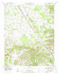 1949 Webbs Jungle1975 Print · USGSRutherford and Bedford Counties appear in the late 1940s as a landscape of river-bottom farms and ridge-top hollows. Genealogists can locate family landmarks such as the Preter Cem, Buchanan School, and the Millersburg Church.3 unique versions available
 - 1951 Map of Webbs Jungle
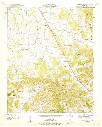 1951 Webbs Jungle1951 Print · USGSRutherford and Bedford Counties are shown here in the early 1950s, centered on the strategic crossing at Hoovers Gap. Family researchers can locate many rural landmarks including Buchanan School, the Millersburg Cem, and New Hope Church.2 unique versions available
 - 1956 Map of Columbia, 1960 Print
 1956 Columbia1960 Print · USGSMiddle Tennessee in the mid-fifties presents a landscape of established river towns and critical rail hubs before the arrival of the modern interstate system. Researchers can trace the routes of the Louisville and Nashville railroad or locate historic landmarks like Stones River National Military Park and the Tennessee National Wildlife Refuge.6 unique versions available
 - 1985 Map of Murfreesboro, 1986 Print
 1985 Murfreesboro1986 Print · USGSMiddle Tennessee in the mid-1980s shows a landscape of growing towns and deep-rooted rural outposts. Local researchers can trace old family lines near Bell Buckle, locate landmarks like Donnel Chapel, or explore the grounds of Henry Horton State Park and Hoovers Gap.
 - 2010 Map of Webbs Jungle, 2010 Print
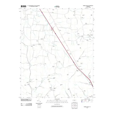 2010 Webbs Jungle2010 Print · USGSCentral Tennessee at the dawn of the new millennium reveals a landscape deeply tied to its geography and family history. Genealogists and historians can trace lineage across numerous family burial grounds, from Robinson Cemetery to Stephenson Cemetery, while exploring features like Hoovers Gap.
 - 2013 Map of Webbs Jungle, 2013 Print
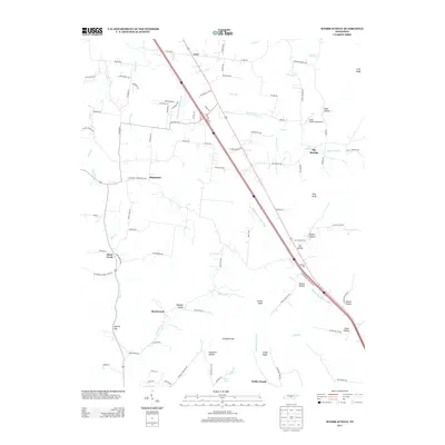 2013 Webbs Jungle2013 Print · USGSTennessee's rural landscape is captured here in the early twenty-first century, centered on the historic passage through Hoovers Gap. Researchers can locate local landmarks like Cedar Glade Aerodrome, the settlement of Webbs Jungle, and the waters of Wartrace Cr.
 - 2016 Map of Webbs Jungle, 2016 Print
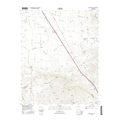 2016 Webbs Jungle2016 Print · USGSRutherford and Bedford counties are captured here in the mid-2010s as the landscape follows the Tennessee Valley Divide. Genealogists and local historians can trace dozens of family burial sites like Fox-Hoover Cem and explore the rural character of Webbs Jungle and Big Springs.
 - 2019 Map of Webbs Jungle, 2019 Print
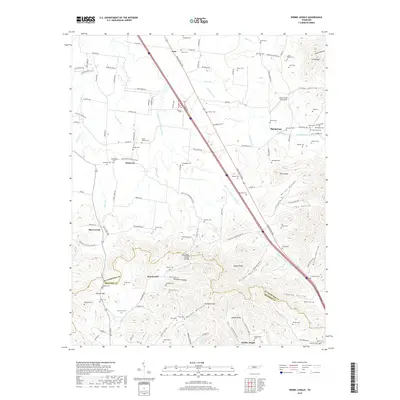 2019 Webbs Jungle2019 Print · USGSRutherford and Bedford counties come together in this rural landscape at the edge of the Tennessee Valley. Researchers can trace dozens of family burial sites like Mayfield Cem and McKee Cem or locate the historic passes of Liberty Gap and Campbell Gap.
 - 2022 Map of Webbs Jungle, 2022 Print
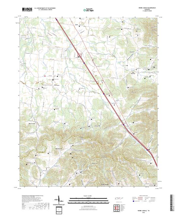 2022 Webbs Jungle2022 Print · USGSRutherford and Bedford Counties are captured in this modern survey of the undulating Tennessee landscape. Genealogists can locate dozens of family burial sites, including the Lowe-Daniel Cem and Fox-Hoover Cem, alongside rural settlements like Beechwood and Webbs Jungle.
End of results
Showing maps 1-11 of 11
Top cities near Big Springs
- Murfreesboro historical maps
- Smyrna historical maps
- Shelbyville historical maps
- Manchester historical maps
- Woodbury historical maps
- Wartrace historical maps
See more
Frequently asked questions
- What are the different types of historical maps available for Big Springs?
- What is the oldest map of Big Springs?
- Where can I purchase historical maps of Big Springs for my home or office?
- Where can I download high-res historical maps of Big Springs?
- Are there historical topographic maps available for Big Springs?
- Is there historical aerial imagery available for Big Springs?
- Where are historical maps of Big Springs sourced from?