Old Maps of The Village, Memphis for Academic Research
Study the evolution of The Village with 12 high-resolution historic maps. Whether you're teaching, researching, or modeling changes in land use, these maps provide essential visual documentation of urban, environmental, and geographic change.
- Analyze long-term change: Track patterns in development, transportation, and natural features.
- Ideal for environmental or urban studies: Support academic projects with primary historical map data.
- Use in the classroom or lab: Educators and researchers rely on these maps to bring historical context to life.
These maps are a powerful tool for teaching, research, and visualizing how The Village has changed over the decades.
The Village, Memphis maps
(12)- 1956 Map of Blytheville, 1964 Print
 1956 Blytheville1964 Print · USGSWest Tennessee and the Arkansas Delta come alive in this mid-century survey of the river-and-rail corridor connecting Memphis to Jackson. Genealogists and historians can trace the rail lines of the Louisville and Nashville RR and locate landmarks like Western State Hospital or Fort Pillow State Prison Farm.2 unique versions available
 - 1959 Map of Blytheville
 1959 Blytheville1959 Print · USGSWest Tennessee and Northeast Arkansas meet along the river in the late fifties, during a period of steady industrial and agricultural growth. Genealogists can trace the rail corridors of the Illinois Central through Jackson or explore landmarks like Shiloh National Military Park and Fort Pillow State Prison.
 - 1960 Map of Bartlett, 1963 Print
 1960 Bartlett1963 Print · USGSShelby County enters a period of intense suburban growth during the early sixties as development pushes east toward Bartlett and Germantown. Genealogists and local historians can locate dozens of country landmarks, from the National Cem and National Cem to the Capleville Ch & Sch.
 - 1961 Map of Bartlett
 1961 Bartlett1961 Print · USGSShelby County transitions from rural farmland to suburban expansion as Memphis grows eastward in the early sixties. Researchers can trace family sites at Spring Hill Ch & Sch, the historic National Cem, and the old rail stop at Mullins Station Ch.
 - 1965 Map of Southeast Memphis, 1967 Print
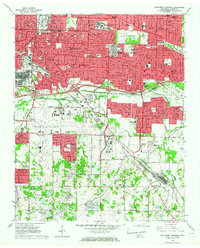 1965 Southeast Memphis1967 Print · USGSMemphis and its southeastern suburbs were undergoing a period of rapid mid-century expansion when this survey was conducted. Local historians can trace the growth of Parkway Village, the operations of the Tennessee Yards, and find family landmarks like Bethlehem Cem.4 unique versions available
 - 1986 Map of Memphis East
 1986 Memphis East1986 Print · USGSWest Tennessee in the mid-eighties shows the meeting point of Memphis suburban growth and the deep bottomlands of the Hatchie River. Genealogists and historians can trace rail-town development along the Southern Railway and locate major landmarks like Ames Plantation and the U S Naval Air Station.2 unique versions available
 - 1997 Map of Southeast Memphis, 2000 Print
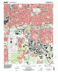 1997 Southeast Memphis2000 Print · USGSSoutheast Memphis and the Capleville area are shown at a peak of late-century urban development, centered on major air and rail hubs. Genealogists and local historians can trace the growth of Parkway Village, locate the Memphis Hebrew Cem, or study the massive Tennessee Yards rail complex.
 - 2010 Map of Southeast Memphis, 2010 Print
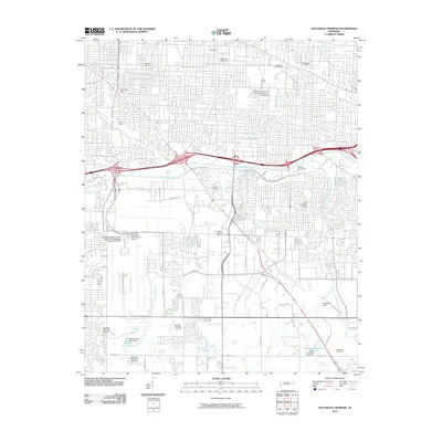 2010 Southeast Memphis2010 Print · USGSSoutheast Memphis is shown at the height of its role as a global transit hub during the first decade of the 2000s. Researchers can trace the massive footprints of the Memphis International Airport and Tennessee Yards, alongside local landmarks like Oakville Cemetery and the University of Memphis.
 - 2013 Map of Southeast Memphis, 2013 Print
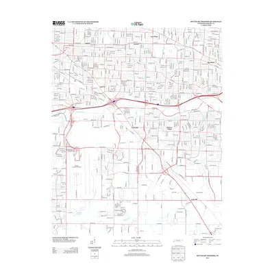 2013 Southeast Memphis2013 Print · USGSSoutheast Memphis in the early 2010s shows a landscape defined by massive logistics and transportation infrastructure. Researchers can trace the sprawling footprints of the Memphis International Airport and Tennessee Yards alongside local neighborhoods like Oakville and Capleville.
 - 2016 Map of Southeast Memphis, 2016 Print
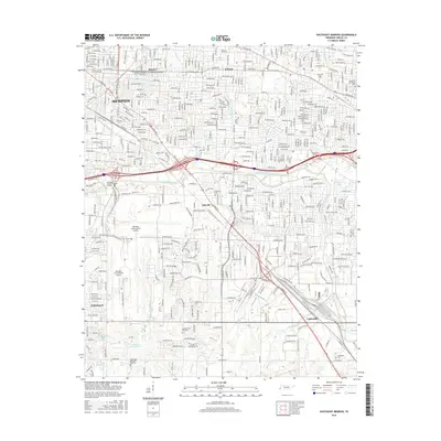 2016 Southeast Memphis2016 Print · USGSSoutheastern Memphis and its neighboring communities are shown here at a peak of modern urban development. Researchers can trace the layout of historic areas like Buntyn and Normal or find local landmarks such as Oakville Cem and the Univ of Memphis.
 - 2019 Map of Southeast Memphis, 2019 Print
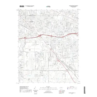 2019 Southeast Memphis2019 Print · USGSSoutheast Memphis in the late 2010s is a landscape of major transit hubs and suburban evolution. Genealogists and local historians can trace the foundations of Whitehaven, Capleville, and Oakville while locating family sites at Bethlehem Cem.
 - 2022 Map of Southeast Memphis, 2022 Print
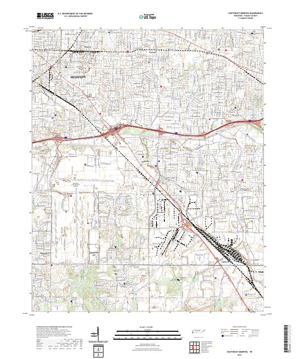 2022 Southeast Memphis2022 Print · USGSSoutheast Memphis and Shelby County are documented here in the early 2020s, showing the dense intersection of modern logistics and early settlement history. Researchers can find numerous small family burial sites like Deadrick Family Cem alongside the sprawling Memphis International Airport and BNSF Railway.
End of results
Showing maps 1-12 of 12
Top cities near The Village
- Memphis historical maps
- Bartlett historical maps
- Collierville historical maps
- Southaven historical maps
- Germantown historical maps
- Olive Branch historical maps
See more
Frequently asked questions
- What are the different types of historical maps available for The Village?
- What is the oldest map of The Village?
- Where can I purchase historical maps of The Village for my home or office?
- Where can I download high-res historical maps of The Village?
- Are there historical topographic maps available for The Village?
- Is there historical aerial imagery available for The Village?
- Where are historical maps of The Village sourced from?