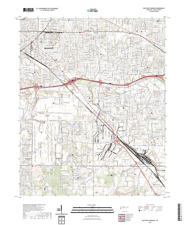
2022 Map of Southeast Memphis
USGS Topo · Published 2022About this map
Memphis urban sprawl and historical cemetery sites converge in this 2022 survey of Shelby County. Small family burial grounds and church yards are scattered among modern infrastructure, including the Deadrick Family Cem and Anshel Sphard Cem in the northern residential blocks. The industrial and transportation corridor is dominated by the Memphis International Airport and the BNSF Railway, which cut through established communities like Oakville and Capleville. These landmarks illustrate the evolution of the city from independent rural settlements into a major logistics hub.
Find a feature on this map
47 named features on this map. Tap any name to fly to it.
Don’t see what you’re looking for? This feature index may not catch every label — zoom into the map to look around manually.
Map Details
Editions of this 2022 Southeast Memphis Map
This is the sole edition of this map. No revisions or reprints were ever made.
Other maps of this area

1916 · Memphis
USGS Topo · 1:62,500

1925 · Memphis
USGS Topo · 1:48,000

1927 · Memphis
USGS Topo · 1:62,500

1932 · Horn Lake
USGS Topo · 1:48,000

1935 · Horn Lake
USGS Topo · 1:62,500

1939 · Memphis
USGS Topo · 1:62,500

1944 · Hernando
USGS Topo · 1:62,500

1948 · Helena
USGS Topo · 1:250,000

1950 · Helena
USGS Topo · 1:250,000

1953 · Memphis
USGS Topo · 1:250,000