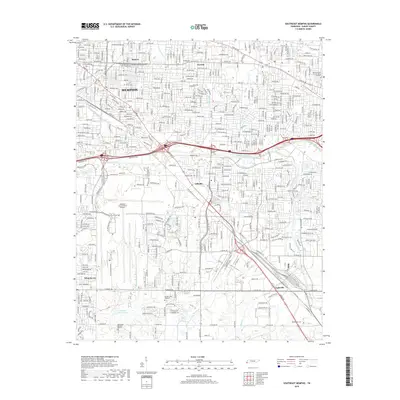
2019 Map of Southeast Memphis
USGS Topo · Published 2019About this map
Memphis expansion into the southeastern reaches of Shelby County is defined here by a dense grid of residential streets and heavy transportation corridors. The massive footprint of the Memphis International Airport dominates the central landscape, surrounded by industrial and commercial zones that displaced earlier agricultural patterns. Established communities like Oakville, Capleville, and Whitehaven serve as anchors within this suburban sprawl, while historic pockets such as Buntyn and Normal reflect older rail-aligned neighborhoods.
Find a feature on this map
34 named features on this map. Tap any name to fly to it.
Don’t see what you’re looking for? This feature index may not catch every label — zoom into the map to look around manually.
Map Details
Editions of this 2019 Southeast Memphis Map
This is the sole edition of this map. No revisions or reprints were ever made.
Other maps of this area

1916 · Memphis
USGS Topo · 1:62,500

1925 · Memphis
USGS Topo · 1:48,000

1927 · Memphis
USGS Topo · 1:62,500

1932 · Horn Lake
USGS Topo · 1:48,000

1935 · Horn Lake
USGS Topo · 1:62,500

1939 · Memphis
USGS Topo · 1:62,500

1944 · Hernando
USGS Topo · 1:62,500

1948 · Helena
USGS Topo · 1:250,000

1950 · Helena
USGS Topo · 1:250,000

1953 · Memphis
USGS Topo · 1:250,000