Old Maps of Walnut Hill, Tennessee for Metal Detecting
Plan your next treasure hunt with 27 historic maps of Walnut Hill. Find old homesites, ghost towns, trails, and gathering spots that may be lost to time — perfect for identifying promising metal detecting locations.
- Locate forgotten sites: Uncover places like long-lost settlements, abandoned rail lines, or gathering spots.
- Plan better hunts: Use map overlays combined with LiDAR or satellite views to narrow in on historically rich areas.
- Made for detectorists: Thousands of hobbyists use these maps to discover relics, coins, and hidden history.
Use these historic maps to boost your research and find new opportunities beneath the surface of Walnut Hill.
Walnut Hill, TN maps
(27)- 1897 Map of Bristol
 1897 Bristol1897 Print · USGSThe Tennessee-Virginia borderlands in the late nineteenth century were a landscape of steep ridges and river-dependent commerce. Genealogists can trace family homesteads near Bickley Mill, locate river crossings like Childress Ferry, or find early rail stops along the Norfolk and Western RR.
 - 1902 Map of Bristol
 1902 Bristol1902 Print · USGSThe interstate border region around Bristol appears here at the start of the twentieth century, defined by its deep mountain ridges and river valleys. Researchers can trace the early industrial footprint of the area through numerous landmarks like Bickley Mill, Kings Mill, and the Norfolk and Western RR.6 unique versions available
 - 1934 Map of Bristol
 1934 Bristol1934 Print · USGSThe border-straddling community of Bristol is shown at a mid-thirties crossroads of rail and road. Local historians can trace the foundations of the area through the Bristol Landing Field, Beidleman Mill, and dozens of rural schools and churches.
 - 1935 Map of Blountville
 1935 Blountville1935 Print · USGSSullivan County and the Virginia borderlands are documented here in the mid-1930s, showing a rural landscape organized around the county seat and mountain ridges. Genealogists can trace family locations near Hickory Grove Sch, Linville Cave, and the Sullivan County Farm.2 unique versions available
 - 1935 Map of Beaver Creek
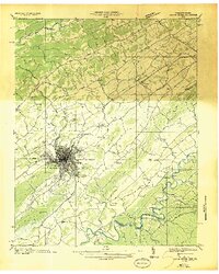 1935 Beaver Creek1935 Print · USGSThe border city of Bristol serves as a bustling rail and highway hub in the mid-1930s. Genealogists and historians can trace family locations near Beidleman Mill, Mountain View Cemetery, and the Twin States Fairgrounds.2 unique versions available
 - 1935 Map of Mages
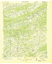 1935 Mages1935 Print · USGSThe Tennessee-Virginia borderlands appear here in the mid-1930s, showing a landscape of ridge-and-valley settlements and rural crossroads. Researchers can locate numerous family-centered sites including Pyles Cem, St Joseph Ch, and Mill Point.
 - 1938 Map of Bristol
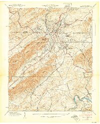 1938 Bristol1938 Print · USGSBristol straddles the Tennessee-Virginia border in the late 1930s, serving as a vital rail and educational hub. Genealogists and local historians can trace the footprint of Sullins College, locate family plots in Mountain View Cemetery, or find the old Beidleman Mill and Ratledge Store.3 unique versions available
 - 1938 Map of Blountville, 1954 Print
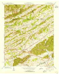 1938 Blountville1954 Print · USGSSullivan County and the Virginia borderlands are captured here in the late thirties as a network of ridge-top schools and valley churches. Genealogists can trace family landmarks like the Latture Cem, Fraley Institute, and the local County Farm.
 - 1939 Map of Blountville
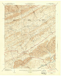 1939 Blountville1939 Print · USGSSullivan County near the Virginia border is captured here in the late thirties, centered on the historic seat of Blountville. Researchers can locate family landmarks such as Latture Cem, Fraley Institute, and numerous rural schoolhouses like Oakview Sch.2 unique versions available
 - 1955 Map of Johnson City
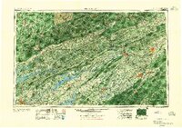 1955 Johnson City1955 Print · USGSEast Tennessee and the bordering highlands of Virginia and Kentucky appear here during the post-war industrial boom. You can trace the complex network of mountain ridges and new TVA lakes, from Johnson City to the coalfields near Middlesboro and Lynch.
 - 1957 Map of Johnson City, 1966 Print
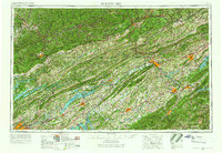 1957 Johnson City1966 Print · USGSUpper East Tennessee and Southwest Virginia are shown here during the mid-sixties transition of the Appalachians. Researchers can trace the industrial rail hubs of Kingsport, the sprawling waters of Cherokee Lake, and the historic Cumberland Gap.
 - 1959 Map of Bristol, 1962 Print
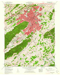 1959 Bristol1962 Print · USGSBristol and the surrounding state-line hills are captured here in the late fifties, showing a bustling railroad hub at its peak. Researchers can trace family sites at Glenwood Cem or locate old community anchors like Paperville and Three Springs Ch.5 unique versions available
 - 1959 Map of Blountville, 1962 Print
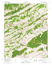 1959 Blountville1962 Print · USGSSullivan County at the edge of the Virginia border is shown here as a landscape of tight-knit valley settlements and family ridges. Genealogists can trace family names through dozens of sites like Booher Cem and Latture Ridge, or locate old landmarks like Thomas Bridge and the Walnut Hill Sch.5 unique versions available
 - 1960 Map of Johnson City
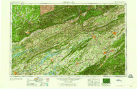 1960 Johnson City1960 Print · USGSUpper East Tennessee and the surrounding tri-state area are shown in the mid-fifties during the height of the TVA reservoir era. Trace the industrial rail lines of the Southern and Louisville and Nashville between Kingsport and Johnson City.
 - 1963 Map of Johnson City
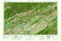 1963 Johnson City1963 Print · USGSThe Tri-Cities and the surrounding Appalachian ridges are shown in detail during the early sixties, highlighting the era's vital rail and river networks. Genealogists and historians can trace the routes of the Clinchfield RR and locate settlements from Rogersville to Elizabethton.
 - 1981 Map of Bristol
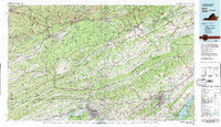 1981 Bristol1981 Print · USGSAppalachia and the Tri-Cities region are shown at a peak of industrial and rail development in the early eighties. Researchers can trace the Clinchfield Railroad through the mountains or find local landmarks like King College and the Holston Army Ammunition Plant.2 unique versions available
 - 2003 Map of Bristol, 2004 Print
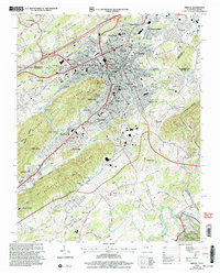 2003 Bristol2004 Print · USGSBristol enters the new millennium as a bustling twin-city hub at the Tennessee-Virginia border, where industry and education meet the Appalachian foothills. Trace family roots at Citizens Cem or locate the historic Union Depot and Sullins College amid the city's growth.
 - 2010 Map of Blountville, 2010 Print
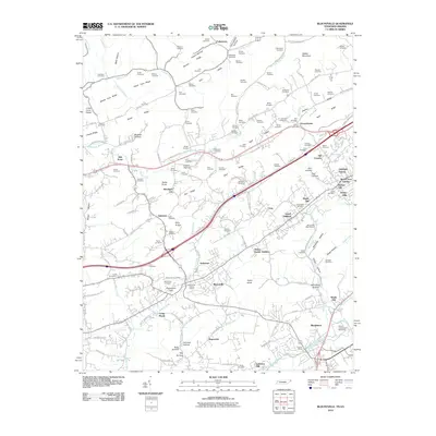 2010 Blountville2010 Print · USGSSullivan County at the dawn of the 2010s reveals a blend of historic settlement and modern landmarks. Researchers can trace family sites from the Blountville Historic District to rural Buncombe and find local landmarks like Thomas Bridge and Bristol International Speedway.
 - 2011 Map of Bristol, 2011 Print
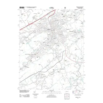 2011 Bristol2011 Print · USGSBristol is shown at the turn of the 21st century, revealing the deep integration of this border city with its surrounding ridges and river valleys. Genealogists can locate dozens of burial sites including East Hill Cemetery and Glenwood Cemetery, or trace neighborhoods like Sugarville and Collingwood.
 - 2013 Map of Blountville, 2013 Print
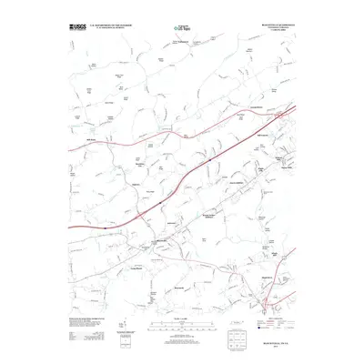 2013 Blountville2013 Print · USGSBlountville and its surrounding ridges are captured in detail during the early 2010s, showing the intersection of deep-rooted history and modern growth. You can locate the Blountville Historic District, trace family names at Graveyard Hill, or see the footprint of the Bristol International Speedway.
 - 2013 Map of Bristol, 2013 Print
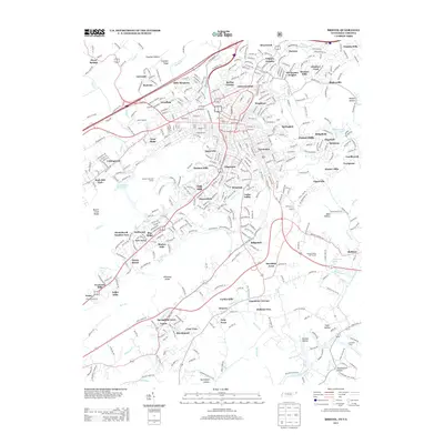 2013 Bristol2013 Print · USGSThe Tennessee-Virginia borderlands are captured here in detail during a period of significant suburban expansion. Genealogists and local historians can trace the development of neighborhoods like Springfield Acres and Belle Meadows alongside landmarks such as Union Depot and Bumgardner Spring.
 - 2016 Map of Bristol, 2016 Print
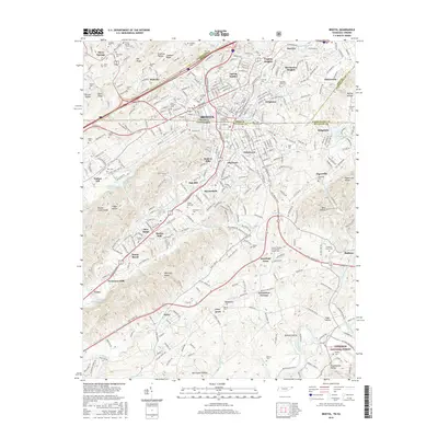 2016 Bristol2016 Print · USGSThe Twin Cities of Bristol and their surrounding Appalachian foothills are shown here in the mid-2010s, where urban sprawl meets the ridge-and-valley terrain. Researchers can find numerous family and church burial sites like Mountain View Cem and Florence Union Cem, or trace landmarks like King College.
 - 2016 Map of Blountville, 2016 Print
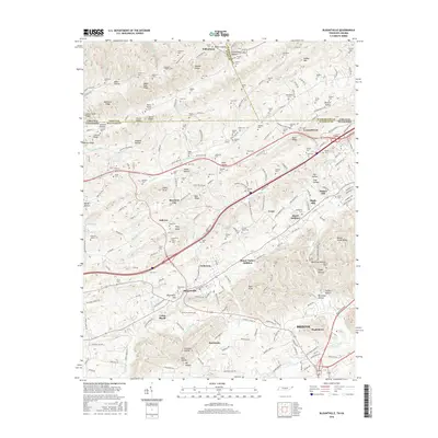 2016 Blountville2016 Print · USGSSullivan County, Tennessee, and the Virginia borderlands are documented here during a period of modern growth near the Tri-Cities. Genealogists can trace family names through dozens of sites like Booher's Chapel Cem, Beechnut City, and Camp Placid.
 - 2019 Map of Blountville, 2019 Print
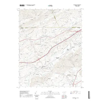 2019 Blountville2019 Print · USGSSullivan County at the edge of the Virginia border is shown here during a period of steady residential expansion and rural preservation. Genealogists can trace family names across dozens of sites like Booher's Chapel, Leonardtown, and the historic Graveyard Hill overlooking Blountville.
 - 2019 Map of Bristol, 2019 Print
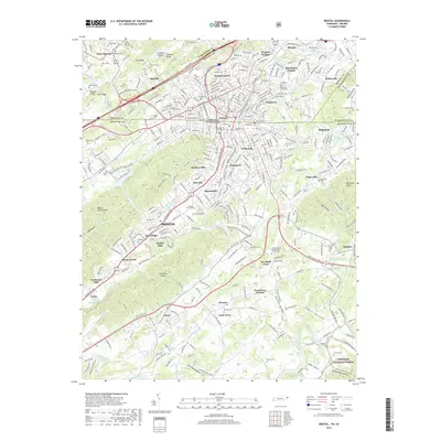 2019 Bristol2019 Print · USGSThe twin cities of Bristol are captured here at a moment of modern growth, where the historic border-town legacy meets the gateway to the Cherokee National Forest. Family researchers can locate numerous local landmarks like Florence Union Cem, Bungardner Spring, and the old settlement of Paperville.
Showing maps 1-25 of 27
Top cities near Walnut Hill
- Johnson City historical maps
- Kingsport historical maps
- Bristol historical maps
- Bristol historical maps
- Elizabethton historical maps
- Bloomingdale historical maps
See more
Top neighborhoods of Walnut Hill
- Hill Country historical maps
- Maple Hill historical maps
- Mount Area Estates historical maps
- Oakleigh Estates historical maps
- Sunny Hills historical maps
- Rock Hill Park historical maps
See more
Frequently asked questions
- What are the different types of historical maps available for Walnut Hill?
- What is the oldest map of Walnut Hill?
- Where can I purchase historical maps of Walnut Hill for my home or office?
- Where can I download high-res historical maps of Walnut Hill?
- Are there historical topographic maps available for Walnut Hill?
- Is there historical aerial imagery available for Walnut Hill?
- Where are historical maps of Walnut Hill sourced from?