Old Maps of Castalian Springs, Tennessee for Academic Research
Study the evolution of Castalian Springs with 11 high-resolution historic maps. Whether you're teaching, researching, or modeling changes in land use, these maps provide essential visual documentation of urban, environmental, and geographic change.
- Analyze long-term change: Track patterns in development, transportation, and natural features.
- Ideal for environmental or urban studies: Support academic projects with primary historical map data.
- Use in the classroom or lab: Educators and researchers rely on these maps to bring historical context to life.
These maps are a powerful tool for teaching, research, and visualizing how Castalian Springs has changed over the decades.
Castalian Springs, TN maps
(11)- 1942 Map of Gallatin
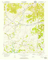
 1942 Gallatin1942 Print · USGSThe Tennessee-Kentucky borderlands were a crossroads of river and rail during the early war years. Genealogists and historians can trace family roots through dozens of named settlements like Bethpage, Prices Mill, and Mitchellville, or locate historic river crossings such as Kirkpatricks Ferry.
 - 1955 Map of Bethpage, 1956 Print
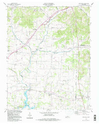
 1955 Bethpage1956 Print · USGSMid-century Sumner County, Tennessee, shows a landscape of established rail hubs and quiet country crossroads. Genealogists and local historians can trace the foundations of these communities through the locations of the Durham Chapel Sch, Shiloh Ch, and the historic Castalian Springs.2 unique versions available
 - 1956 Map of Nashville, 1971 Print
 1956 Nashville1971 Print · USGSThe Tennessee-Kentucky borderlands come into focus in the mid-1960s as major reservoir projects transformed the Cumberland and Tennessee river valleys. Researchers can trace the rail networks of the Louisville and Nashville and visit sites like Fort Campbell and Fort Donelson National Military Park.2 unique versions available
 - 1959 Map of Nashville
 1959 Nashville1959 Print · USGSMiddle Tennessee and Southern Kentucky come into focus during the late fifties, showing the region's transition into a modern transportation and military hub. Researchers can trace the sprawling Fort Campbell Military Reservation or locate historic rail stops along the Tennessee Central Ry and Illinois Central RR.
 - 1984 Map of Nashville, 1985 Print
 1984 Nashville1985 Print · USGSMiddle Tennessee in the mid-1980s reveals a region balancing urban expansion with its deep river-valley roots. Genealogists and historians can trace family locations near Old Hickory Lake, explore the grounds of Vanderbilt University, or locate ancestral sites like Greenwood Cem.
 - 1994 Map of Bethpage, 1997 Print
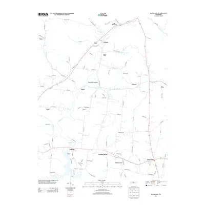
 1994 Bethpage1997 Print · USGSSumner and Trousdale counties are shown in the mid-nineties, a period when the rural landscape between Bethpage and Castalian Springs remained largely intact. Researchers can trace the Old Railroad Grade and locate long-standing community landmarks like Old Union Ch and Durham Chapel Sch.
 - 2010 Map of Bethpage, 2010 Print
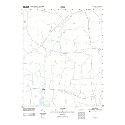 2010 Bethpage2010 Print · USGSCovers Castalian Springs, including Hickory Grove, Chipman, and other nearby areas
 - 2013 Map of Bethpage, 2013 Print
 2013 Bethpage2013 Print · USGSCovers Castalian Springs, including Hickory Grove, Chipman, and other nearby areas
 - 2016 Map of Bethpage, 2016 Print
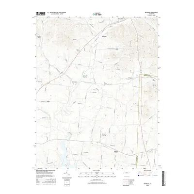 2016 Bethpage2016 Print · USGSCovers Castalian Springs, including Hickory Grove, Chipman, and other nearby areas
 - 2019 Map of Bethpage, 2019 Print
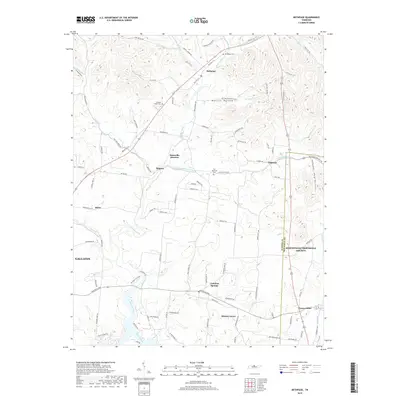 2019 Bethpage2019 Print · USGSCovers Castalian Springs, including Hickory Grove, Chipman, and other nearby areas
 - 2022 Map of Bethpage, 2022 Print
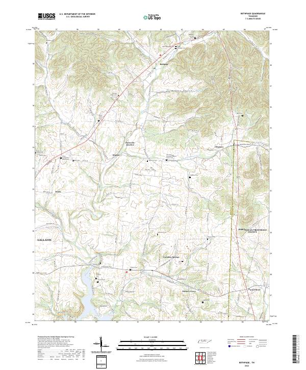 2022 Bethpage2022 Print · USGSSumner and Trousdale counties come into focus in the early 2020s, showcasing a landscape defined by creek valleys and long-standing family settlements. Researchers can trace dozens of family burial sites like Durham Chapel Cem and Taylor Cem, or locate landmarks such as Castalian Springs and Paynes Store.
End of results
Showing maps 1-11 of 11
Top cities near Castalian Springs
- Nashville historical maps
- Hendersonville historical maps
- Gallatin historical maps
- Lebanon historical maps
- Portland historical maps
- Mount Juliet historical maps
See more
Frequently asked questions
- What are the different types of historical maps available for Castalian Springs?
- What is the oldest map of Castalian Springs?
- Where can I purchase historical maps of Castalian Springs for my home or office?
- Where can I download high-res historical maps of Castalian Springs?
- Are there historical topographic maps available for Castalian Springs?
- Is there historical aerial imagery available for Castalian Springs?
- Where are historical maps of Castalian Springs sourced from?