Old Maps of Gallatin, Tennessee for Academic Research
Study the evolution of Gallatin with 32 high-resolution historic maps. Whether you're teaching, researching, or modeling changes in land use, these maps provide essential visual documentation of urban, environmental, and geographic change.
- Analyze long-term change: Track patterns in development, transportation, and natural features.
- Ideal for environmental or urban studies: Support academic projects with primary historical map data.
- Use in the classroom or lab: Educators and researchers rely on these maps to bring historical context to life.
These maps are a powerful tool for teaching, research, and visualizing how Gallatin has changed over the decades.
Gallatin, TN maps
(32)- 1903 Map of Nashville
 1903 Nashville1903 Print · USGSTennessee's capital region is captured at the dawn of the 1900s, when iron pikes and river locks dominated local commerce. Trace ancestral routes along Stewarts Ferry Pike, find rural landmarks like Curry Mill, or locate historical sites like The Hermitage.4 unique versions available
 - 1942 Map of Gallatin
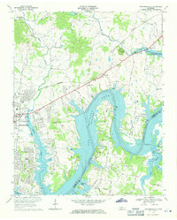
 1942 Gallatin1942 Print · USGSThe Tennessee-Kentucky borderlands were a crossroads of river and rail during the early war years. Genealogists and historians can trace family roots through dozens of named settlements like Bethpage, Prices Mill, and Mitchellville, or locate historic river crossings such as Kirkpatricks Ferry.
 - 1952 Map of Hendersonville, 1953 Print
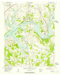
 1952 Hendersonville1953 Print · USGSSumner County is captured here in the early fifties, before the rapid suburban expansion of the Nashville region. Genealogists can locate family landmarks such as Shackle Island, Stark Knob Ch, and the winding Walton Ferry Road along the river.
 - 1953 Map of Cottontown, 1955 Print
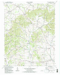
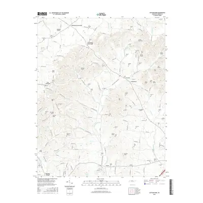
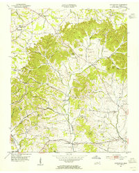 1953 Cottontown1955 Print · USGSIn the early 1950s, Sumner County remained a patchwork of ridge-top farms and creek-bottom settlements. Genealogists and historians can trace family roots through dozens of local landmarks like Johnsons Crossroads, Little Bethel Church, and the Old Indian Cem.3 unique versions available
 - 1955 Map of Laguardo, 1956 Print
 1955 Laguardo1956 Print · USGSThe Cumberland River valley transitioned into a modern utility corridor in the mid-fifties as the reservoir waters rose. Genealogists and historians can trace local landmarks like the Odoms Bend Sch, Franklin Chapel, and the Drive-in Theatre near Laguardo.5 unique versions available
 - 1955 Map of Gallatin, 1956 Print
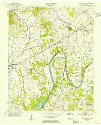
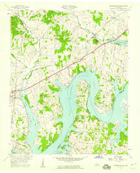
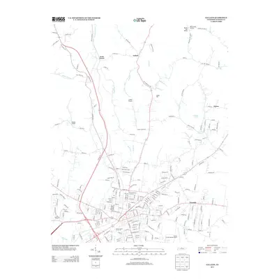
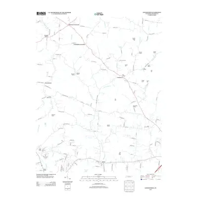
 1955 Gallatin1956 Print · USGSGallatin and the surrounding Sumner County countryside are captured here in the mid-fifties as the local landscape balanced traditional farming with new infrastructure. Researchers can trace family-named hollows and sites like Bushs Chapel Sch, South Tunnel, and Salem Ch.5 unique versions available
 - 1956 Map of Nashville, 1971 Print
 1956 Nashville1971 Print · USGSThe Tennessee-Kentucky borderlands come into focus in the mid-1960s as major reservoir projects transformed the Cumberland and Tennessee river valleys. Researchers can trace the rail networks of the Louisville and Nashville and visit sites like Fort Campbell and Fort Donelson National Military Park.2 unique versions available
 - 1957 Map of Hendersonville, 1959 Print
 1957 Hendersonville1959 Print · USGSSumner County underwent a massive geographical shift in the late fifties as the rising Cumberland River filled the new reservoir. Researchers can trace the mid-century shoreline of Old Hickory Lake and locate old rural landmarks like Rehoboth Ch and Beech Sch.
 - 1959 Map of Nashville
 1959 Nashville1959 Print · USGSMiddle Tennessee and Southern Kentucky come into focus during the late fifties, showing the region's transition into a modern transportation and military hub. Researchers can trace the sprawling Fort Campbell Military Reservation or locate historic rail stops along the Tennessee Central Ry and Illinois Central RR.
 - 1968 Map of Hendersonville, 1971 Print
 1968 Hendersonville1971 Print · USGSThe Hendersonville area is captured here during its late-sixties growth as Old Hickory Lake reshaped the local topography. Genealogists can trace family roots through landmarks like St Johns Ch, Peytona, and the rural schools and churches of Shackle Island.2 unique versions available
 - 1984 Map of Nashville, 1985 Print
 1984 Nashville1985 Print · USGSMiddle Tennessee in the mid-1980s reveals a region balancing urban expansion with its deep river-valley roots. Genealogists and historians can trace family locations near Old Hickory Lake, explore the grounds of Vanderbilt University, or locate ancestral sites like Greenwood Cem.
 - 1994 Map of Cottontown, 1997 Print
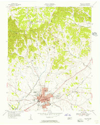
 1994 Cottontown1997 Print · USGSSumner County in the mid-nineties remains a landscape of deep family roots and rural crossroads. Researchers can trace historic sites like the Sumner County Home, Fairmont Sch, and numerous family plots such as the Pitt-Bursby Cem.
 - 2010 Map of Gallatin, 2010 Print
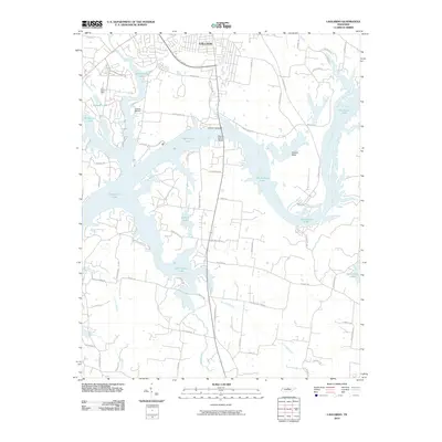
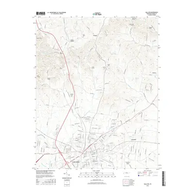
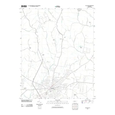 2010 Gallatin2010 Print · USGSCovers Gallatin, including Kansas, Trousdale, and other nearby areas
 - 2010 Map of Laguardo, 2010 Print
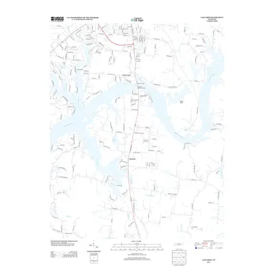
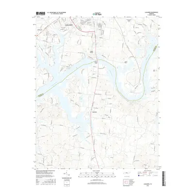
 2010 Laguardo2010 Print · USGSCovers Gallatin, including Lebanon, Laguardo, and other nearby areas
 - 2010 Map of Hendersonville, 2010 Print
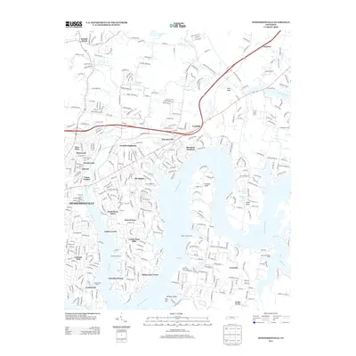
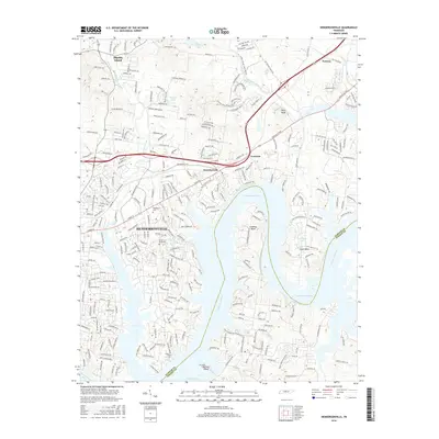
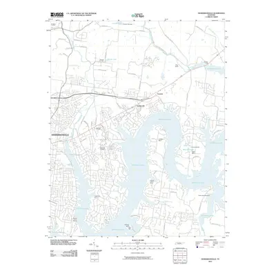 2010 Hendersonville2010 Print · USGSCovers Gallatin, including Nashville, Hendersonville, and other nearby areas
 - 2010 Map of Cottontown, 2010 Print
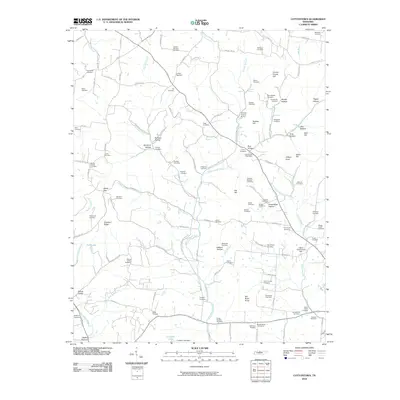 2010 Cottontown2010 Print · USGSCovers Gallatin, including White House, Johnsons Crossroads, and other nearby areas
 - 2013 Map of Gallatin, 2013 Print
 2013 Gallatin2013 Print · USGSCovers Gallatin, including Kansas, Trousdale, and other nearby areas
 - 2013 Map of Cottontown, 2013 Print
 2013 Cottontown2013 Print · USGSCovers Gallatin, including White House, Johnsons Crossroads, and other nearby areas
 - 2013 Map of Hendersonville, 2013 Print
 2013 Hendersonville2013 Print · USGSCovers Gallatin, including Nashville, Hendersonville, and other nearby areas
 - 2013 Map of Laguardo, 2013 Print
 2013 Laguardo2013 Print · USGSCovers Gallatin, including Lebanon, Laguardo, and other nearby areas
 - 2016 Map of Cottontown, 2016 Print
 2016 Cottontown2016 Print · USGSCovers Gallatin, including White House, Johnsons Crossroads, and other nearby areas
 - 2016 Map of Gallatin, 2016 Print
 2016 Gallatin2016 Print · USGSCovers Gallatin, including Kansas, Trousdale, and other nearby areas
 - 2016 Map of Laguardo, 2016 Print
 2016 Laguardo2016 Print · USGSCovers Gallatin, including Lebanon, Laguardo, and other nearby areas
 - 2016 Map of Hendersonville, 2016 Print
 2016 Hendersonville2016 Print · USGSCovers Gallatin, including Nashville, Hendersonville, and other nearby areas
 - 2019 Map of Laguardo, 2019 Print
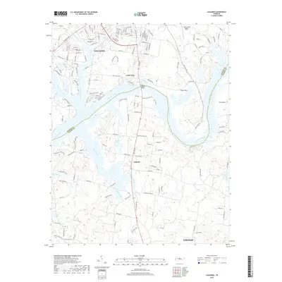 2019 Laguardo2019 Print · USGSCovers Gallatin, including Lebanon, Laguardo, and other nearby areas
Showing maps 1-25 of 32
Top cities near Gallatin
- Nashville historical maps
- Hendersonville historical maps
- Lebanon historical maps
- Goodlettsville historical maps
- White House historical maps
- Portland historical maps
See more
Top neighborhoods of Gallatin
Frequently asked questions
- What are the different types of historical maps available for Gallatin?
- What is the oldest map of Gallatin?
- Where can I purchase historical maps of Gallatin for my home or office?
- Where can I download high-res historical maps of Gallatin?
- Are there historical topographic maps available for Gallatin?
- Is there historical aerial imagery available for Gallatin?
- Where are historical maps of Gallatin sourced from?