2000s (21st Century) Maps of Millersville, Tennessee
Explore 15 historic maps of Millersville from the 2000s (21st Century). These maps offer a rare glimpse into what life looked like during the 2000s — showing old roads, neighborhoods, homes, and landmarks that have changed or disappeared over time.
Whether you're researching your family's past, planning a metal detecting trip, or studying how Millersville's landscape evolved across the 2000s, these high-resolution maps are a powerful tool for exploring the history of this region.
- Focus on a specific era: All maps on this page are from the 2000s, giving you a focused view of this time period.
- See what’s changed: Compare century-old streets, trails, and buildings to today's modern landscape using overlays and satellite layers.
- Research with precision: Use these maps for genealogy, historical research, land use analysis, or educational projects.
- View, download, or print: Maps are fully viewable online in high resolution, and can be downloaded or printed for your own records.
Start exploring Millersville's history through authentic maps from the 2000s. This is your window into the past.
Millersville, TN maps
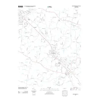
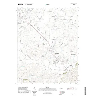
(15)- 2010 Map of Greenbrier, 2010 Print
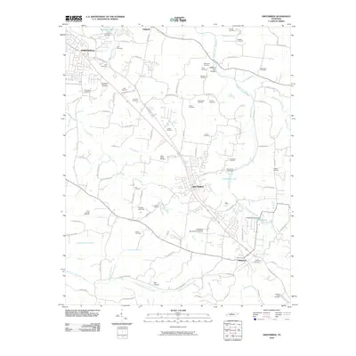 2010 Greenbrier2010 Print · USGSCovers Millersville, including Nashville, Springfield, and other nearby areas
 - 2010 Map of Goodlettsville, 2010 Print
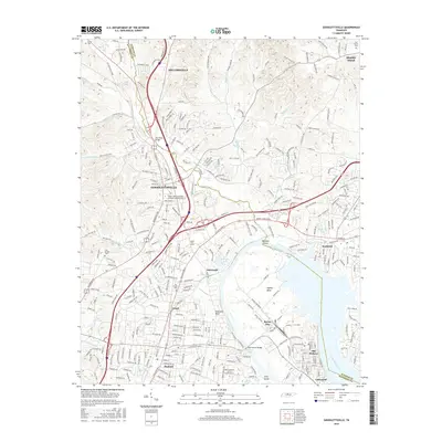
 2010 Goodlettsville2010 Print · USGSCovers Millersville, including Nashville, Hendersonville, and other nearby areas
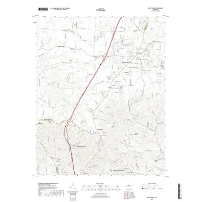
 - 2010 Map of White House, 2010 Print
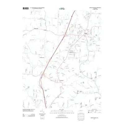
 2010 White House2010 Print · USGSCovers Millersville, including Nashville, Goodlettsville, and other nearby areas
 - 2013 Map of Goodlettsville, 2013 Print
 2013 Goodlettsville2013 Print · USGSCovers Millersville, including Nashville, Hendersonville, and other nearby areas
 - 2013 Map of Greenbrier, 2013 Print
 2013 Greenbrier2013 Print · USGSCovers Millersville, including Nashville, Springfield, and other nearby areas
 - 2013 Map of White House, 2013 Print
 2013 White House2013 Print · USGSCovers Millersville, including Nashville, Goodlettsville, and other nearby areas
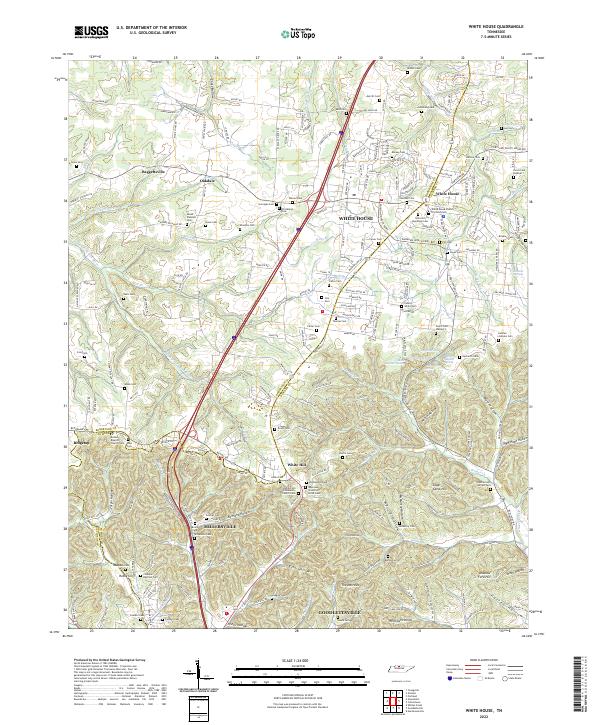
 - 2016 Map of White House, 2016 Print
 2016 White House2016 Print · USGSCovers Millersville, including Nashville, Goodlettsville, and other nearby areas
 - 2016 Map of Greenbrier, 2016 Print
 2016 Greenbrier2016 Print · USGSCovers Millersville, including Nashville, Springfield, and other nearby areas
 - 2016 Map of Goodlettsville, 2016 Print
 2016 Goodlettsville2016 Print · USGSCovers Millersville, including Nashville, Hendersonville, and other nearby areas
 - 2019 Map of Goodlettsville, 2019 Print
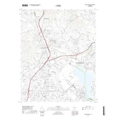 2019 Goodlettsville2019 Print · USGSCovers Millersville, including Nashville, Hendersonville, and other nearby areas
 - 2019 Map of Greenbrier, 2019 Print
 2019 Greenbrier2019 Print · USGSCovers Millersville, including Nashville, Springfield, and other nearby areas
 - 2019 Map of White House, 2019 Print
 2019 White House2019 Print · USGSCovers Millersville, including Nashville, Goodlettsville, and other nearby areas
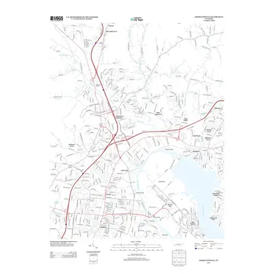
 - 2022 Map of White House, 2022 Print
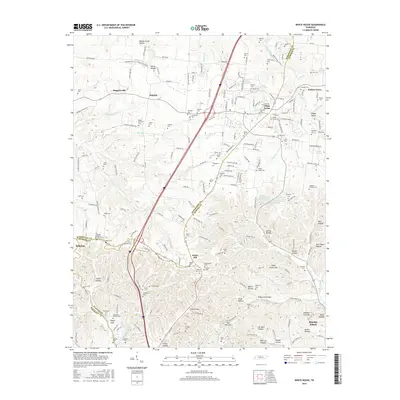
 2022 White House2022 Print · USGSCovers Millersville, including Nashville, Goodlettsville, and other nearby areas
 - 2022 Map of Goodlettsville, 2022 Print
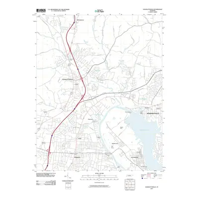
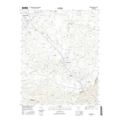
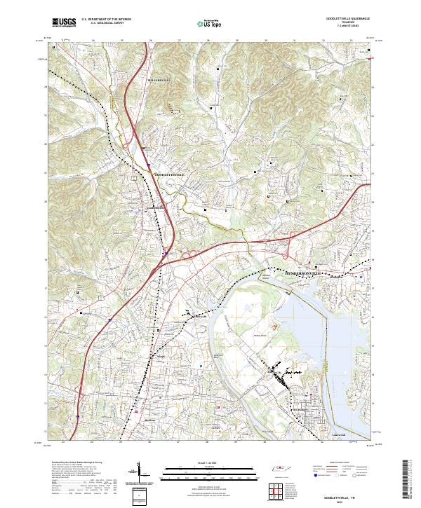 2022 Goodlettsville2022 Print · USGSThe northern Nashville suburbs and the Cumberland River valley appear in high detail during this recent period of growth. Researchers can trace numerous family burial sites and historical landmarks like the Bowen Campbell House Cem, Lutons Cem, and the Middle Tennessee School of Anesthesia.
 - 2022 Map of Greenbrier, 2022 Print
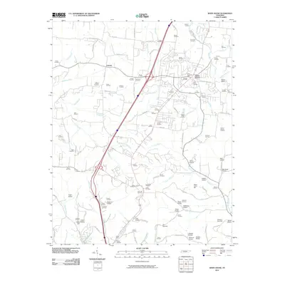
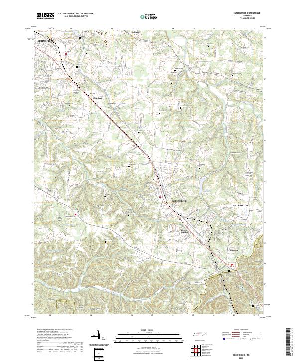 2022 Greenbrier2022 Print · USGSThe southern Robertson County plateau comes to life in this survey of the communities between Springfield and Ridgetop. Genealogists and historians can trace dozens of family-named landmarks including Wartrace Cem, Hygeia Springs, and Lutons Cem.
End of results
Showing maps 1-15 of 15
Top cities near Millersville
- Nashville historical maps
- Hendersonville historical maps
- Gallatin historical maps
- North Nashville historical maps
- Goodlettsville historical maps
- Springfield historical maps
See more
Top neighborhoods of Millersville
Frequently asked questions
- What are the different types of historical maps available for Millersville?
- What is the oldest map of Millersville?
- Where can I purchase historical maps of Millersville for my home or office?
- Where can I download high-res historical maps of Millersville?
- Are there historical topographic maps available for Millersville?
- Is there historical aerial imagery available for Millersville?
- Where are historical maps of Millersville sourced from?