2000s (21st Century) Maps of Westmoreland, Tennessee
Explore 10 historic maps of Westmoreland from the 2000s (21st Century). These maps offer a rare glimpse into what life looked like during the 2000s — showing old roads, neighborhoods, homes, and landmarks that have changed or disappeared over time.
Whether you're researching your family's past, planning a metal detecting trip, or studying how Westmoreland's landscape evolved across the 2000s, these high-resolution maps are a powerful tool for exploring the history of this region.
- Focus on a specific era: All maps on this page are from the 2000s, giving you a focused view of this time period.
- See what’s changed: Compare century-old streets, trails, and buildings to today's modern landscape using overlays and satellite layers.
- Research with precision: Use these maps for genealogy, historical research, land use analysis, or educational projects.
- View, download, or print: Maps are fully viewable online in high resolution, and can be downloaded or printed for your own records.
Start exploring Westmoreland's history through authentic maps from the 2000s. This is your window into the past.
Westmoreland, TN maps
(10)- 2010 Map of Westmoreland, 2010 Print
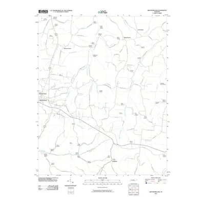 2010 Westmoreland2010 Print · USGSCovers Westmoreland, including Pleasant Grove, Cross Lanes, and other nearby areas
 - 2010 Map of Turners Station, 2010 Print
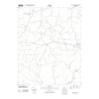 2010 Turners Station2010 Print · USGSCovers Westmoreland, including Angeltown, Providence, and other nearby areas
 - 2013 Map of Westmoreland, 2013 Print
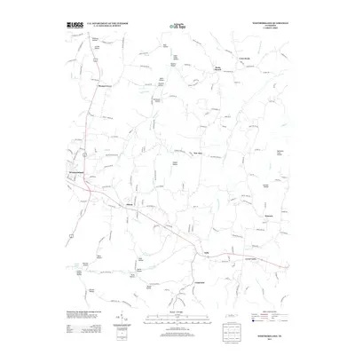 2013 Westmoreland2013 Print · USGSCovers Westmoreland, including Pleasant Grove, Cross Lanes, and other nearby areas
 - 2013 Map of Turners Station, 2013 Print
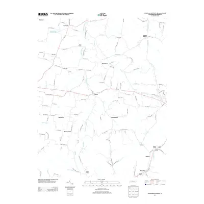 2013 Turners Station2013 Print · USGSCovers Westmoreland, including Angeltown, Providence, and other nearby areas
 - 2016 Map of Westmoreland, 2016 Print
 2016 Westmoreland2016 Print · USGSCovers Westmoreland, including Pleasant Grove, Cross Lanes, and other nearby areas
 - 2016 Map of Turners Station, 2016 Print
 2016 Turners Station2016 Print · USGSCovers Westmoreland, including Angeltown, Providence, and other nearby areas
 - 2019 Map of Turners Station, 2019 Print
 2019 Turners Station2019 Print · USGSCovers Westmoreland, including Angeltown, Providence, and other nearby areas
 - 2019 Map of Westmoreland, 2019 Print
 2019 Westmoreland2019 Print · USGSCovers Westmoreland, including Pleasant Grove, Cross Lanes, and other nearby areas
 - 2022 Map of Westmoreland, 2022 Print
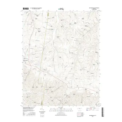
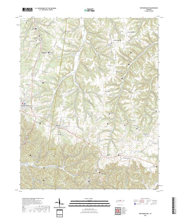 2022 Westmoreland2022 Print · USGSThe hills of the Tennessee border country come alive in this map of the Sumner and Macon county line. Genealogists can trace deep roots through family-named sites like the James Brown Senior Family Cem and G T Dalton Cem or explore the hollows around Westmoreland.
 - 2022 Map of Turners Station, 2022 Print
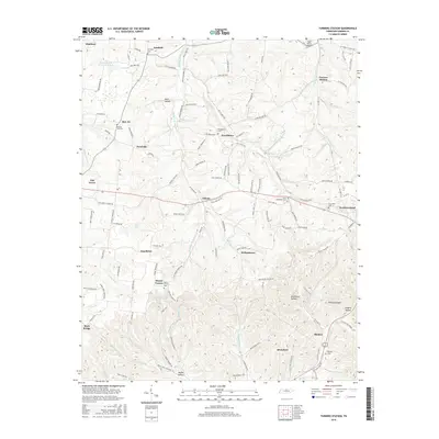
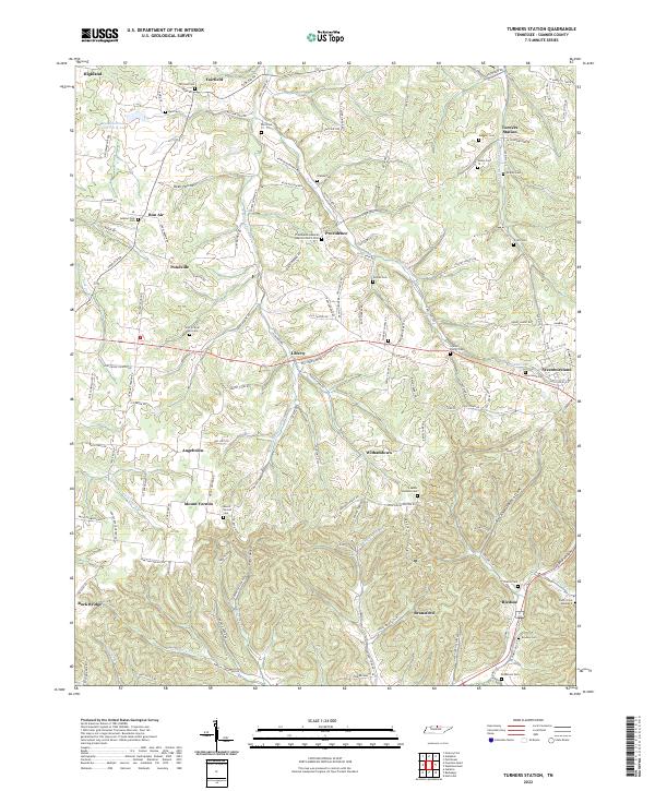 2022 Turners Station2022 Print · USGSIn the hills of Sumner County, Tennessee, this recent mapping reveals an intricate landscape of family-named hollows and historic cemeteries. Genealogists can trace family footprints at the Who So Ever Will Cem, Turners Station, or the Providence General Baptist Church Cem.
End of results
Showing maps 1-10 of 10
Top cities near Westmoreland
- Gallatin historical maps
- Portland historical maps
- Scottsville historical maps
- Lafayette historical maps
Frequently asked questions
- What are the different types of historical maps available for Westmoreland?
- What is the oldest map of Westmoreland?
- Where can I purchase historical maps of Westmoreland for my home or office?
- Where can I download high-res historical maps of Westmoreland?
- Are there historical topographic maps available for Westmoreland?
- Is there historical aerial imagery available for Westmoreland?
- Where are historical maps of Westmoreland sourced from?