Old Maps of Westmoreland, Tennessee for Genealogy
Trace your family roots with 18 historic maps of Westmoreland. These high-res maps reveal old neighborhoods, homesites, landmarks, and streets — helping you uncover where your ancestors lived and how the area evolved over time.
- Explore historic neighborhoods: Identify where your relatives may have lived in the 1800s or 1900s.
- Compare maps over time: Trace the changes in streets, buildings, and landmarks for multi-generational research.
- Perfect for genealogy & ancestry research: Used by family historians and researchers to map out lineage and migration.
These maps are an incredible resource for exploring your personal connection to Westmoreland's past.
Westmoreland, TN maps
(18)- 1931 Map of Lafayette
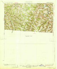 1931 Lafayette1931 Print · USGSThe Kentucky and Tennessee borderlands in the late twenties were a network of tight-knit rural communities connected by winding river hollows. Genealogists and local historians can trace family roots through numerous small landmarks like Austin Sch, Mt Zion Ch, and the settlement of Holland.2 unique versions available
 - 1931 Map of Adolphus
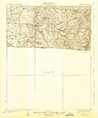 1931 Adolphus1931 Print · USGSThe Kentucky-Tennessee state line was a landscape of river fords and country schoolhouses during the late Prohibition era. Genealogists can trace family footprints through dozens of local landmarks like Old Mill Ford, McKendree Chapel, and Pinkle Cem.2 unique versions available
 - 1942 Map of Gallatin
 1942 Gallatin1942 Print · USGSThe Tennessee-Kentucky borderlands were a crossroads of river and rail during the early war years. Genealogists and historians can trace family roots through dozens of named settlements like Bethpage, Prices Mill, and Mitchellville, or locate historic river crossings such as Kirkpatricks Ferry.
 - 1956 Map of Nashville, 1971 Print
 1956 Nashville1971 Print · USGSThe Tennessee-Kentucky borderlands come into focus in the mid-1960s as major reservoir projects transformed the Cumberland and Tennessee river valleys. Researchers can trace the rail networks of the Louisville and Nashville and visit sites like Fort Campbell and Fort Donelson National Military Park.2 unique versions available
 - 1958 Map of Westmoreland, 1959 Print
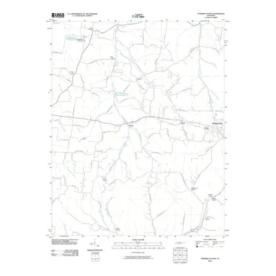
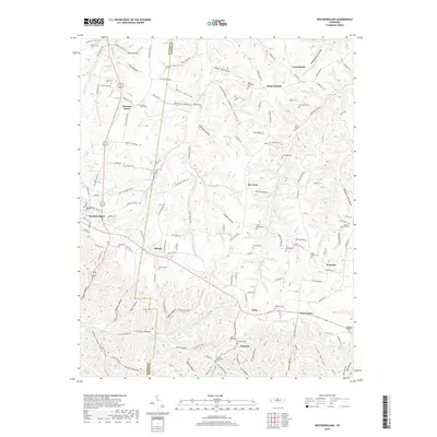
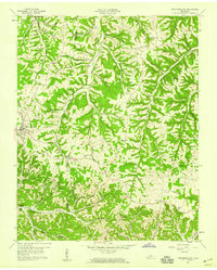 1958 Westmoreland1959 Print · USGSUpper Middle Tennessee in the late fifties was a landscape of ridge-top farms and valley rail hubs. You can trace the Louisville and Nashville line through Westmoreland or locate old community sites like Leaths Chapel Sch and Rocky Mound.2 unique versions available
 - 1958 Map of Turners Station, 1959 Print
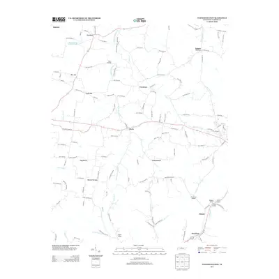
 1958 Turners Station1959 Print · USGSIn the late fifties, this corner of Sumner County was a landscape of deep hollows and high ridges defined by the Louisville and Nashville rail line. Genealogists can locate rural churches like Bostic Chapel and Sulphur Fork Ch alongside crossroads such as Turners Station and Pondville.
 - 1959 Map of Nashville
 1959 Nashville1959 Print · USGSMiddle Tennessee and Southern Kentucky come into focus during the late fifties, showing the region's transition into a modern transportation and military hub. Researchers can trace the sprawling Fort Campbell Military Reservation or locate historic rail stops along the Tennessee Central Ry and Illinois Central RR.
 - 1985 Map of Bowling Green
 1985 Bowling Green1985 Print · USGSThe rolling borderlands of Kentucky and Tennessee are captured here in the mid-eighties, showing a landscape shaped by the Barren River and deep-rooted rail networks. Genealogists and researchers can trace local landmarks like Prices Mill, Highland Academy, and Green Lawn Cem.3 unique versions available
 - 2010 Map of Westmoreland, 2010 Print
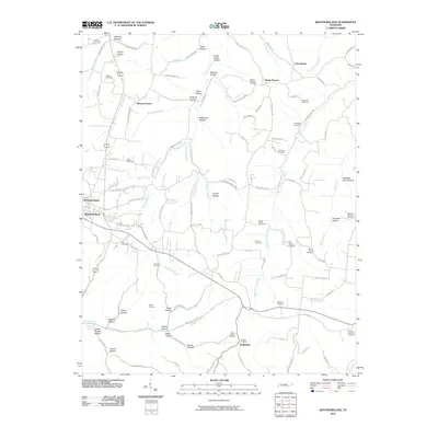 2010 Westmoreland2010 Print · USGSCovers Westmoreland, including Pleasant Grove, Cross Lanes, and other nearby areas
 - 2010 Map of Turners Station, 2010 Print
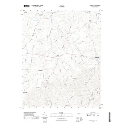
 2010 Turners Station2010 Print · USGSCovers Westmoreland, including Angeltown, Providence, and other nearby areas
 - 2013 Map of Westmoreland, 2013 Print
 2013 Westmoreland2013 Print · USGSCovers Westmoreland, including Pleasant Grove, Cross Lanes, and other nearby areas
 - 2013 Map of Turners Station, 2013 Print
 2013 Turners Station2013 Print · USGSCovers Westmoreland, including Angeltown, Providence, and other nearby areas
 - 2016 Map of Westmoreland, 2016 Print
 2016 Westmoreland2016 Print · USGSCovers Westmoreland, including Pleasant Grove, Cross Lanes, and other nearby areas
 - 2016 Map of Turners Station, 2016 Print
 2016 Turners Station2016 Print · USGSCovers Westmoreland, including Angeltown, Providence, and other nearby areas
 - 2019 Map of Turners Station, 2019 Print
 2019 Turners Station2019 Print · USGSCovers Westmoreland, including Angeltown, Providence, and other nearby areas
 - 2019 Map of Westmoreland, 2019 Print
 2019 Westmoreland2019 Print · USGSCovers Westmoreland, including Pleasant Grove, Cross Lanes, and other nearby areas
 - 2022 Map of Westmoreland, 2022 Print
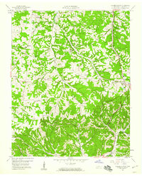
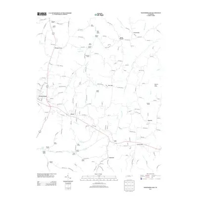
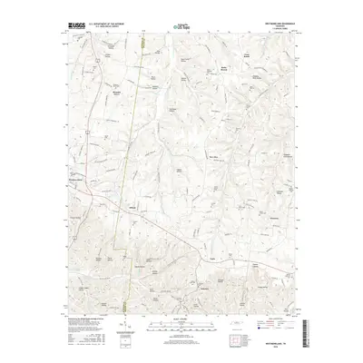
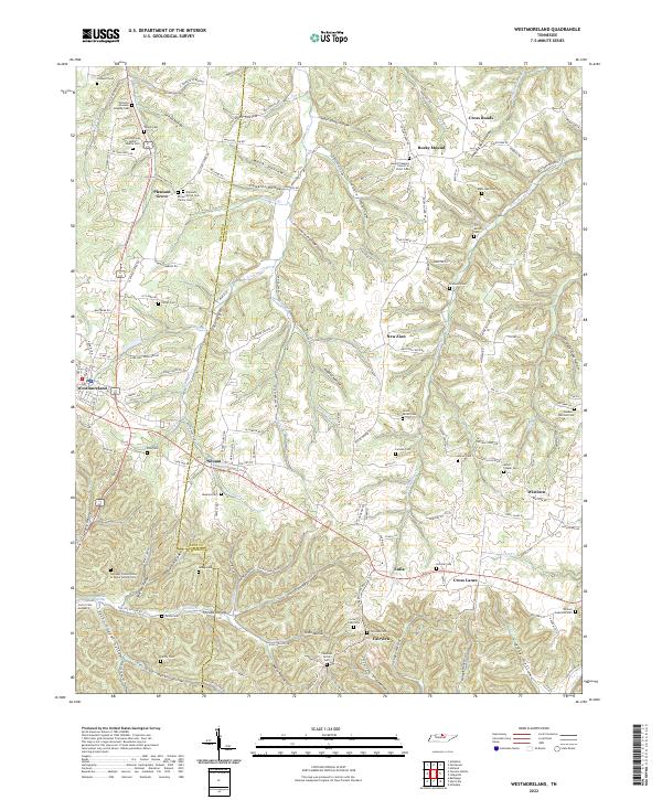 2022 Westmoreland2022 Print · USGSThe hills of the Tennessee border country come alive in this map of the Sumner and Macon county line. Genealogists can trace deep roots through family-named sites like the James Brown Senior Family Cem and G T Dalton Cem or explore the hollows around Westmoreland.
 - 2022 Map of Turners Station, 2022 Print
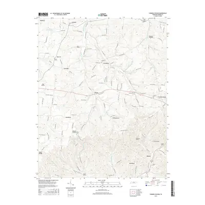
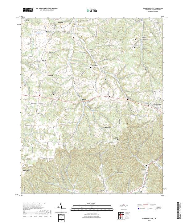 2022 Turners Station2022 Print · USGSIn the hills of Sumner County, Tennessee, this recent mapping reveals an intricate landscape of family-named hollows and historic cemeteries. Genealogists can trace family footprints at the Who So Ever Will Cem, Turners Station, or the Providence General Baptist Church Cem.
End of results
Showing maps 1-18 of 18
Top cities near Westmoreland
- Gallatin historical maps
- Portland historical maps
- Scottsville historical maps
- Lafayette historical maps
Frequently asked questions
- What are the different types of historical maps available for Westmoreland?
- What is the oldest map of Westmoreland?
- Where can I purchase historical maps of Westmoreland for my home or office?
- Where can I download high-res historical maps of Westmoreland?
- Are there historical topographic maps available for Westmoreland?
- Is there historical aerial imagery available for Westmoreland?
- Where are historical maps of Westmoreland sourced from?