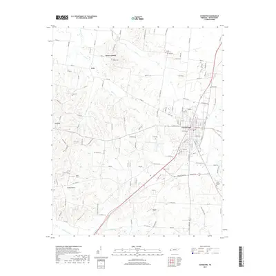
Old Maps of Covington, Tennessee for Genealogy
Trace your family roots with 18 historic maps of Covington. These high-res maps reveal old neighborhoods, homesites, landmarks, and streets — helping you uncover where your ancestors lived and how the area evolved over time.
- Explore historic neighborhoods: Identify where your relatives may have lived in the 1800s or 1900s.
- Compare maps over time: Trace the changes in streets, buildings, and landmarks for multi-generational research.
- Perfect for genealogy & ancestry research: Used by family historians and researchers to map out lineage and migration.
These maps are an incredible resource for exploring your personal connection to Covington's past.
Covington, TN maps
(18)- 1956 Map of Blytheville, 1964 Print
 1956 Blytheville1964 Print · USGSWest Tennessee and the Arkansas Delta come alive in this mid-century survey of the river-and-rail corridor connecting Memphis to Jackson. Genealogists and historians can trace the rail lines of the Louisville and Nashville RR and locate landmarks like Western State Hospital or Fort Pillow State Prison Farm.2 unique versions available
 - 1959 Map of Blytheville
 1959 Blytheville1959 Print · USGSWest Tennessee and Northeast Arkansas meet along the river in the late fifties, during a period of steady industrial and agricultural growth. Genealogists can trace the rail corridors of the Illinois Central through Jackson or explore landmarks like Shiloh National Military Park and Fort Pillow State Prison.
 - 1961 Map of Rialto, 1963 Print
 1961 Rialto1963 Print · USGSWest Tennessee in the early sixties was a landscape of river-bottom farms and interconnected parish life along the Hatchie River. Researchers can trace the heritage of Covington and Ripley, alongside rural landmarks like the Fort Pillow State Prison Farm and Plumer Grove Ch & Sch.
 - 1962 Map of Rialto
 1962 Rialto1962 Print · USGSTipton and Lauderdale counties are mapped here in the early sixties, showing a landscape defined by the Hatchie River and the Illinois Central line. Genealogists can locate many local landmarks, including Rialto Ch & Sch, Canaan Cem, and the Fort Pillow State Prison Farm.
 - 1972 Map of Covington, 1974 Print
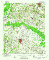
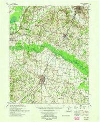
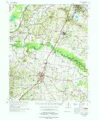
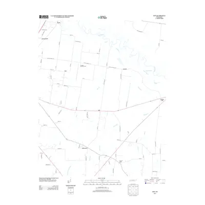
 1972 Covington1974 Print · USGSCovington and rural Tipton County are captured here in the early seventies as the town expanded along the Illinois Central Gulf rail line. Researchers can trace local heritage through the sites of Mount Lebanon, Shiloh Cem, and the Drive-in Theater.2 unique versions available
 - 1972 Map of Gift, 1974 Print
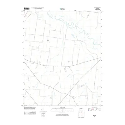
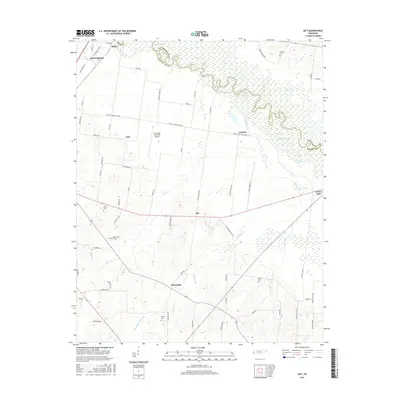
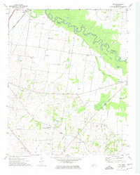 1972 Gift1974 Print · USGSThe Hatchie River floodplain and rural Tipton County are captured here in the early 1970s as agricultural life and aviation growth converged. Researchers can trace family history through numerous landmarks like Tabernacle Sch, Tipton Cem, and churches such as St Luke Ch.2 unique versions available
 - 1977 Map of Rialto
 1977 Rialto1977 Print · USGSTipton and Lauderdale counties are documented here in the late seventies, showing the traditional river-and-rail corridor along the Hatchie River. Genealogists can trace family landmarks across dozens of sites, including Leighs Chapel, Pilgrims Rest Cem, and the Henning Sch.
 - 1986 Map of Blytheville
 1986 Blytheville1986 Print · USGSThe Arkansas-Tennessee borderlands appear here in the mid-eighties, centered on the mighty Mississippi River and its shifting islands. Trace the footprints of Blytheville Air Force Base, old river towns like Golddust, and the extensive grounds of the Fort Pillow State Prison Farm.2 unique versions available
 - 2010 Map of Gift, 2010 Print
 2010 Gift2010 Print · USGSCovers Covington, including Solo, Tabernacle, and other nearby areas
 - 2010 Map of Covington, 2010 Print
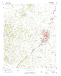
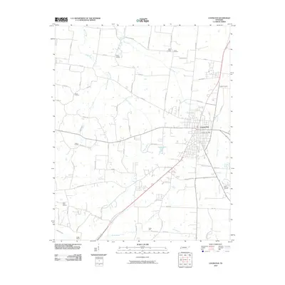 2010 Covington2010 Print · USGSCovers Covington, including Garland, Avreet, and other nearby areas
 - 2013 Map of Covington, 2013 Print
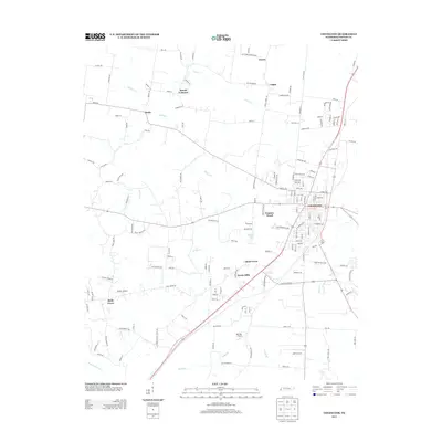 2013 Covington2013 Print · USGSCovers Covington, including Garland, Avreet, and other nearby areas
 - 2013 Map of Gift, 2013 Print
 2013 Gift2013 Print · USGSCovers Covington, including Solo, Tabernacle, and other nearby areas
 - 2016 Map of Covington, 2016 Print
 2016 Covington2016 Print · USGSCovers Covington, including Garland, Avreet, and other nearby areas
 - 2016 Map of Gift, 2016 Print
 2016 Gift2016 Print · USGSCovers Covington, including Solo, Tabernacle, and other nearby areas
 - 2019 Map of Gift, 2019 Print
 2019 Gift2019 Print · USGSCovers Covington, including Solo, Tabernacle, and other nearby areas
 - 2019 Map of Covington, 2019 Print
 2019 Covington2019 Print · USGSCovers Covington, including Garland, Avreet, and other nearby areas
 - 2022 Map of Covington, 2022 Print
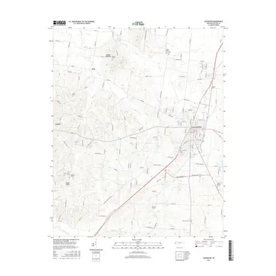
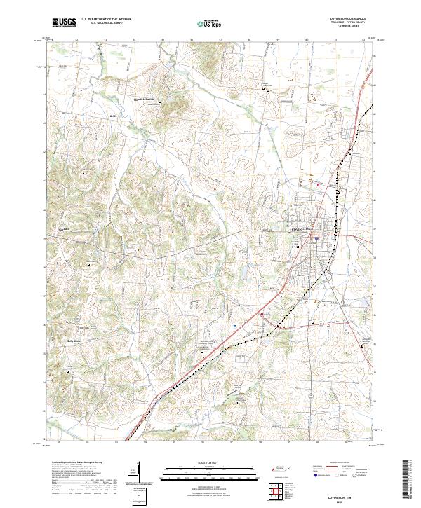 2022 Covington2022 Print · USGSCovington and the surrounding Tipton County countryside are captured here in the early twenty-first century, showcasing a landscape of established family farms and growing civic centers. Genealogists can trace local heritage through numerous burial sites like Shiloh Cem, Hall Cem, and the rural community of Bride.
 - 2022 Map of Gift, 2022 Print
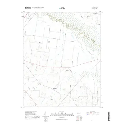
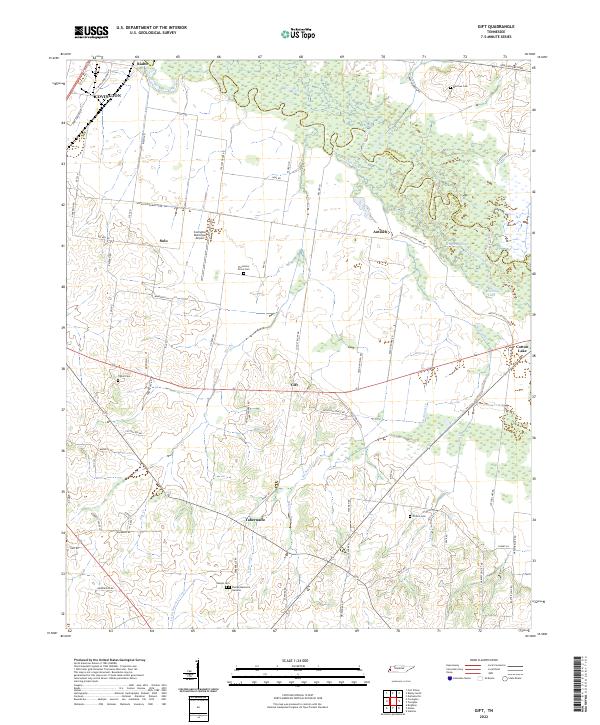 2022 Gift2022 Print · USGSTipton County at the start of the 2020s remains defined by the meandering Hatchie River and its rural settlements. Researchers can trace family history through local landmarks like Sharpe Cem, Plummers Grove Cem, and the community of Tabernacle.
End of results
Showing maps 1-18 of 18
Top cities near Covington
- Millington historical maps
- Ripley historical maps
- Atoka historical maps
- Munford historical maps
- Brighton historical maps
- Henning historical maps
See more
Top neighborhoods of Covington
Frequently asked questions
- What are the different types of historical maps available for Covington?
- What is the oldest map of Covington?
- Where can I purchase historical maps of Covington for my home or office?
- Where can I download high-res historical maps of Covington?
- Are there historical topographic maps available for Covington?
- Is there historical aerial imagery available for Covington?
- Where are historical maps of Covington sourced from?