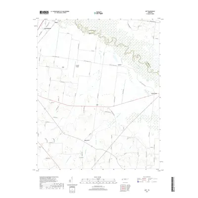
2019 Map of Gift
USGS Topo · Published 2019About this map
The Hatchie River forms a complex, meandering northern boundary between Lauderdale and Tipton counties, defining a landscape of wetlands and sloughs such as Hogpen Slough. This region of West Tennessee is characterized by small, dispersed rural communities and family landmarks that reflect generations of local settlement. Smaller hamlets like Gift, Tabernacle, Solo, and Antioch are connected by a network of local roads including Antioch Highway 51 Rd and Rialto Rd. The presence of several family or community burial sites, including Marrows Cem, Tipton Cem, Sharps Cem, and Cotton Cem, offers significant research value for genealogists tracking local lineages. On the western edge, the outskirts of Covington and the Covington Municipal Airport mark the transition toward more concentrated development, while the interior remains dominated by the drainage systems of Richland Cr and Flat Cr.
Find a feature on this map
73 named features on this map. Tap any name to fly to it.
Don’t see what you’re looking for? This feature index may not catch every label — zoom into the map to look around manually.
Map Details
Editions of this 2019 Gift Map
This is the sole edition of this map. No revisions or reprints were ever made.
Other maps of this area
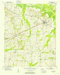
1952 · Stanton
USGS Topo · 1:24,000
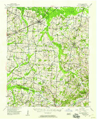
1952 · Stanton
USGS Topo · 1:62,500
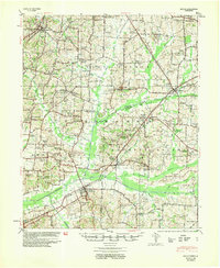
1954 · Mason
USGS Topo · 1:62,500
1956 · Blytheville
USGS Topo · 1:250,000
1959 · Blytheville
USGS Topo · 1:250,000
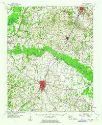
1961 · Rialto
USGS Topo · 1:62,500
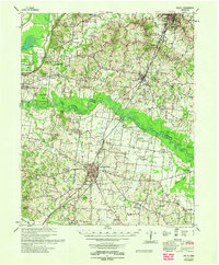
1962 · Rialto
USGS Topo · 1:62,500
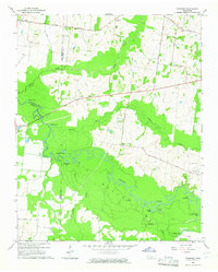
1964 · Turnpike
USGS Topo · 1:24,000
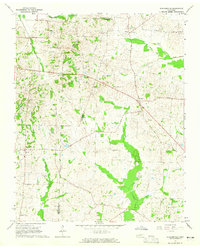
1964 · Durhamville
USGS Topo · 1:24,000
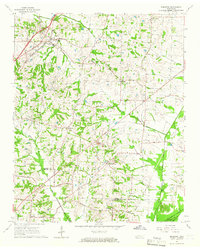
1965 · Brighton
USGS Topo · 1:24,000