Old Maps of Keeling, Tennessee for Academic Research
Study the evolution of Keeling with 10 high-resolution historic maps. Whether you're teaching, researching, or modeling changes in land use, these maps provide essential visual documentation of urban, environmental, and geographic change.
- Analyze long-term change: Track patterns in development, transportation, and natural features.
- Ideal for environmental or urban studies: Support academic projects with primary historical map data.
- Use in the classroom or lab: Educators and researchers rely on these maps to bring historical context to life.
These maps are a powerful tool for teaching, research, and visualizing how Keeling has changed over the decades.
Keeling, TN maps
(10)- 1952 Map of Stanton
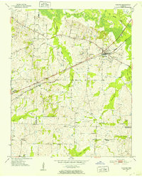 1952 Stanton1952 Print · USGSWestern Tennessee at the start of the fifties was a landscape of rail-connected towns and crossroads communities. Genealogists can trace family roots through numerous rural landmarks like Wesley Cem, Fredonia Sch, and the community of Keeling.3 unique versions available
 - 1952 Map of Stanton, 1958 Print
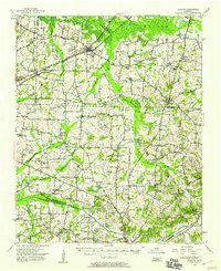 1952 Stanton1958 Print · USGSMid-century West Tennessee comes to life here as the rail-driven town of Stanton and the crossroads at Dancyville anchor a landscape of bottomlands and family farms. Trace the roots of local communities through landmarks like Yum Yum, Gailor High Sch, and the Antioch Ch.
 - 1956 Map of Blytheville, 1964 Print
 1956 Blytheville1964 Print · USGSWest Tennessee and the Arkansas Delta come alive in this mid-century survey of the river-and-rail corridor connecting Memphis to Jackson. Genealogists and historians can trace the rail lines of the Louisville and Nashville RR and locate landmarks like Western State Hospital or Fort Pillow State Prison Farm.2 unique versions available
 - 1959 Map of Blytheville
 1959 Blytheville1959 Print · USGSWest Tennessee and Northeast Arkansas meet along the river in the late fifties, during a period of steady industrial and agricultural growth. Genealogists can trace the rail corridors of the Illinois Central through Jackson or explore landmarks like Shiloh National Military Park and Fort Pillow State Prison.
 - 1986 Map of Memphis East
 1986 Memphis East1986 Print · USGSWest Tennessee in the mid-eighties shows the meeting point of Memphis suburban growth and the deep bottomlands of the Hatchie River. Genealogists and historians can trace rail-town development along the Southern Railway and locate major landmarks like Ames Plantation and the U S Naval Air Station.2 unique versions available
 - 2010 Map of Stanton, 2010 Print
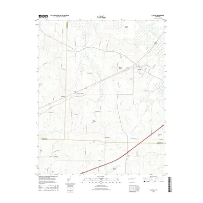
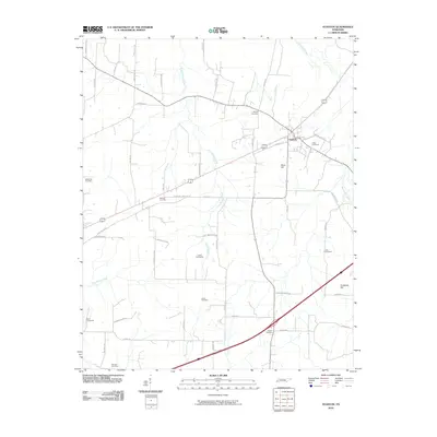 2010 Stanton2010 Print · USGSCovers Keeling, including Stanton, Birds Bower, and other nearby areas
 - 2013 Map of Stanton, 2013 Print
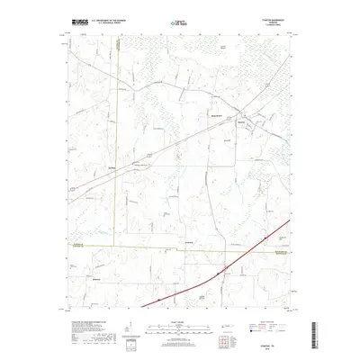
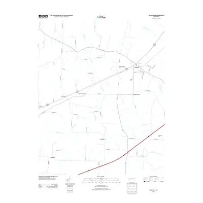 2013 Stanton2013 Print · USGSCovers Keeling, including Stanton, Birds Bower, and other nearby areas
 - 2016 Map of Stanton, 2016 Print
 2016 Stanton2016 Print · USGSCovers Keeling, including Stanton, Birds Bower, and other nearby areas
 - 2019 Map of Stanton, 2019 Print
 2019 Stanton2019 Print · USGSCovers Keeling, including Stanton, Birds Bower, and other nearby areas
 - 2022 Map of Stanton, 2022 Print
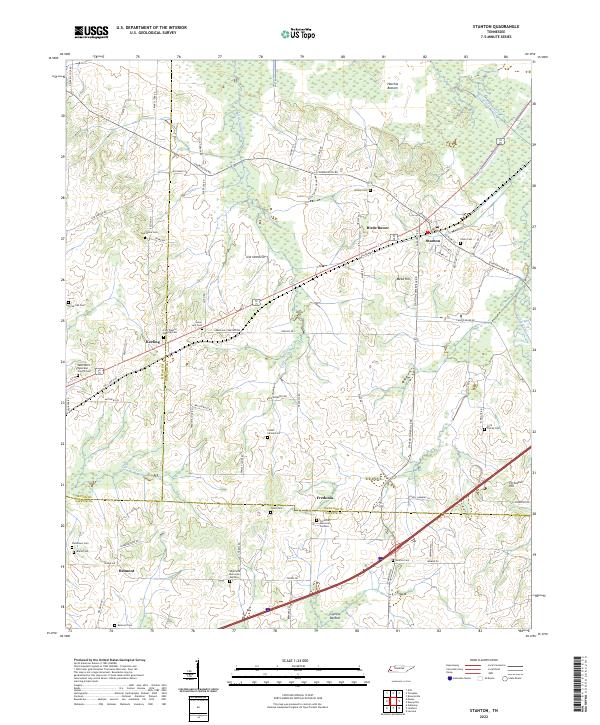 2022 Stanton2022 Print · USGSWest Tennessee’s agricultural and wetland borders are revealed here in the modern era, centered on the historic rail town of Stanton. Researchers can trace dozens of family and community sites, including Chote Cem, Wesley Cem, and Fredonia Memorial Gardens.
End of results
Showing maps 1-10 of 10
Top cities near Keeling
- Memphis historical maps
- Lakeland historical maps
- Brownsville historical maps
- Covington historical maps
- Oakland historical maps
- Arlington historical maps
See more
Frequently asked questions
- What are the different types of historical maps available for Keeling?
- What is the oldest map of Keeling?
- Where can I purchase historical maps of Keeling for my home or office?
- Where can I download high-res historical maps of Keeling?
- Are there historical topographic maps available for Keeling?
- Is there historical aerial imagery available for Keeling?
- Where are historical maps of Keeling sourced from?