Old Maps of Banner Hill, Tennessee for Genealogy
Trace your family roots with 17 historic maps of Banner Hill. These high-res maps reveal old neighborhoods, homesites, landmarks, and streets — helping you uncover where your ancestors lived and how the area evolved over time.
- Explore historic neighborhoods: Identify where your relatives may have lived in the 1800s or 1900s.
- Compare maps over time: Trace the changes in streets, buildings, and landmarks for multi-generational research.
- Perfect for genealogy & ancestry research: Used by family historians and researchers to map out lineage and migration.
These maps are an incredible resource for exploring your personal connection to Banner Hill's past.
Banner Hill, TN maps
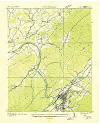
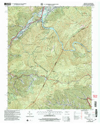
(17)- 1891 Map of Roan Mountain
 1891 Roan Mountain1891 Print · USGSCovers Banner Hill, including Johnson City, Kingsport, and other nearby areas
 - 1894 Map of Roan Mountain
 1894 Roan Mountain1894 Print · USGSCovers Banner Hill, including Johnson City, Kingsport, and other nearby areas3 unique versions available
 - 1904 Map of Roan Mountain
 1904 Roan Mountain1904 Print · USGSCovers Banner Hill, including Johnson City, Kingsport, and other nearby areas4 unique versions available
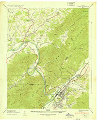
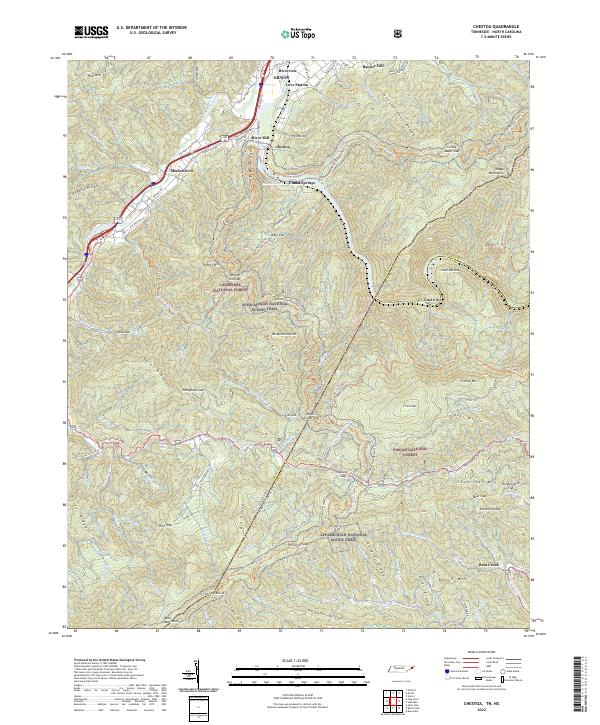
 - 1935 Map of Chestoa
 1935 Chestoa1935 Print · USGSCovers Banner Hill, including Erwin, Lost Cove, and other nearby areas
 - 1935 Map of Erwin
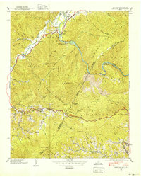
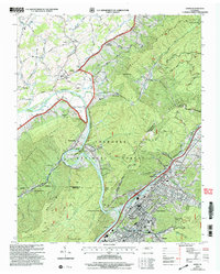
 1935 Erwin1935 Print · USGSCovers Banner Hill, including Erwin, Unicoi, and other nearby areas
 - 1939 Map of Erwin
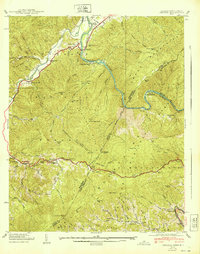
 1939 Erwin1939 Print · USGSCovers Banner Hill, including Erwin, Unicoi, and other nearby areas5 unique versions available
 - 1939 Map of Chestoa
 1939 Chestoa1939 Print · USGSCovers Banner Hill, including Erwin, Lost Cove, and other nearby areas5 unique versions available
 - 1940 Map of Chestoa
 1940 Chestoa1940 Print · USGSCovers Banner Hill, including Erwin, Lost Cove, and other nearby areas
 - 1955 Map of Johnson City
 1955 Johnson City1955 Print · USGSCovers Banner Hill, including Knoxville, Johnson City, and other nearby areas
 - 1957 Map of Johnson City, 1966 Print
 1957 Johnson City1966 Print · USGSCovers Banner Hill, including Knoxville, Johnson City, and other nearby areas
 - 1960 Map of Johnson City
 1960 Johnson City1960 Print · USGSCovers Banner Hill, including Knoxville, Johnson City, and other nearby areas
 - 1963 Map of Johnson City
 1963 Johnson City1963 Print · USGSCovers Banner Hill, including Knoxville, Johnson City, and other nearby areas
 - 1980 Map of Johnson City, 1981 Print
 1980 Johnson City1981 Print · USGSCovers Banner Hill, including Johnson City, Kingsport, and other nearby areas
 - 2003 Map of Chestoa, 2004 Print
 2003 Chestoa2004 Print · USGSCovers Banner Hill, including Erwin, Lost Cove, and other nearby areas
 - 2003 Map of Erwin, 2004 Print
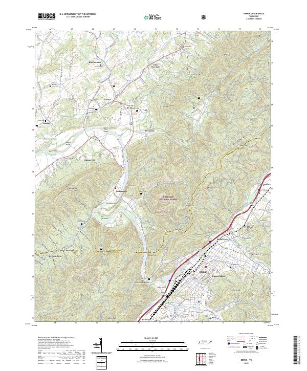
 2003 Erwin2004 Print · USGSCovers Banner Hill, including Erwin, Unicoi, and other nearby areas
 - 2022 Map of Chestoa, 2022 Print
 2022 Chestoa2022 Print · USGSCovers Banner Hill, including Erwin, Love Station, and other nearby areas
 - 2022 Map of Erwin, 2022 Print
 2022 Erwin2022 Print · USGSCovers Banner Hill, including Erwin, Unicoi, and other nearby areas
End of results
Showing maps 1-17 of 17
Top cities near Banner Hill
- Johnson City historical maps
- Elizabethton historical maps
- Erwin historical maps
- Jonesborough historical maps
- Unicoi historical maps
- Pine Crest historical maps
See more
Top neighborhoods of Banner Hill
Frequently asked questions
- What are the different types of historical maps available for Banner Hill?
- What is the oldest map of Banner Hill?
- Where can I purchase historical maps of Banner Hill for my home or office?
- Where can I download high-res historical maps of Banner Hill?
- Are there historical topographic maps available for Banner Hill?
- Is there historical aerial imagery available for Banner Hill?
- Where are historical maps of Banner Hill sourced from?