2000s (21st Century) Maps of Unicoi, Tennessee
Explore 18 historic maps of Unicoi from the 2000s (21st Century). These maps offer a rare glimpse into what life looked like during the 2000s — showing old roads, neighborhoods, homes, and landmarks that have changed or disappeared over time.
Whether you're researching your family's past, planning a metal detecting trip, or studying how Unicoi's landscape evolved across the 2000s, these high-resolution maps are a powerful tool for exploring the history of this region.
- Focus on a specific era: All maps on this page are from the 2000s, giving you a focused view of this time period.
- See what’s changed: Compare century-old streets, trails, and buildings to today's modern landscape using overlays and satellite layers.
- Research with precision: Use these maps for genealogy, historical research, land use analysis, or educational projects.
- View, download, or print: Maps are fully viewable online in high resolution, and can be downloaded or printed for your own records.
Start exploring Unicoi's history through authentic maps from the 2000s. This is your window into the past.
Unicoi, TN maps
(18)- 2003 Map of Unicoi
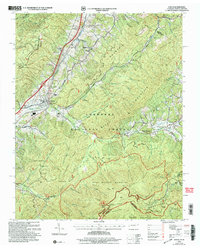 2003 Unicoi2003 Print · USGSThe valleys and high ridges of Unicoi County are captured here just after the turn of the millennium. Researchers can trace family sites like Swingle Cem, explore the early Appalachian Trail route, or locate local landmarks like Laughren Chapel and Marbleton.
 - 2003 Map of Johnson City, 2004 Print
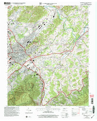 2003 Johnson City2004 Print · USGSJohnson City and Elizabethton appear here as they transitioned into the early twenty-first century, showing the established neighborhoods and mountain fringes. Genealogists can trace family sites at Monte Vista Cem and Oak Hill Cem, or locate the historic Milligan College and Mountain Home (PO).
 - 2003 Map of Erwin, 2004 Print
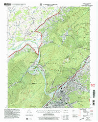 2003 Erwin2004 Print · USGSErwin and the Nolichucky River valley are captured at the turn of the millennium, showing a landscape defined by railroad corridors and deep forest boundaries. Researchers can trace local genealogy through sites like Bumpus Cove Cemetery, the Lamar School, and the Bethel Church.
 - 2011 Map of Erwin, 2011 Print
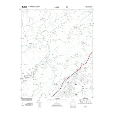 2011 Erwin2011 Print · USGSThe Unicoi County valley around Erwin is shown here as a landscape of deep-seated industry and mountain settlements. Genealogists and historians can trace family roots through sites like Jobs Cemetery or explore the mining legacy of Bumpus Cove and the Embree Mines.
 - 2011 Map of Johnson City, 2011 Print
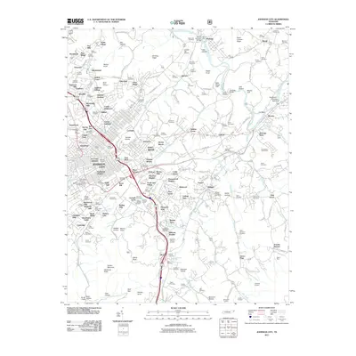 2011 Johnson City2011 Print · USGSJohnson City and its sprawling suburbs come into sharp focus in the early twenty-first century, showcasing a landscape where modern institutions meet deep-rooted local history. Researchers can trace family lines through dozens of burial grounds like Hoss Cemetery and White Cemetery, or locate historic landmarks like the Tipton-Haynes Farm.
 - 2011 Map of Unicoi, 2011 Print
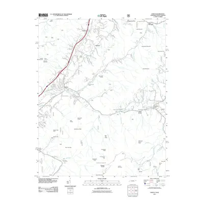 2011 Unicoi2011 Print · USGSThe valleys and high ridges surrounding Unicoi are captured here in the early 21st century. Genealogists and historians can trace family locations through several burial sites like Peterson Cemetery and Bell Cemetery, or locate the historic CCC Camp Cordell Hull.
 - 2013 Map of Erwin, 2013 Print
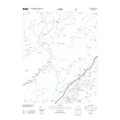 2013 Erwin2013 Print · USGSUnicoi County communities and the Nolichucky River valley are shown in detail during the early 2000s. Genealogists and local historians can trace family-named landmarks like Henleys Ford, the many named hollows of Bumpus Cove, and the layout of Erwin.
 - 2013 Map of Johnson City, 2013 Print
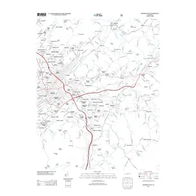 2013 Johnson City2013 Print · USGSJohnson City and its southern highland outskirts are documented here in the early twenty-first century as suburban growth meets the high ridges. Researchers can trace the layout of Milligan College, the Mountain Home veteran's facility, and prominent landforms like Tannery Knobs and Buffalo Mountain.
 - 2013 Map of Unicoi, 2013 Print
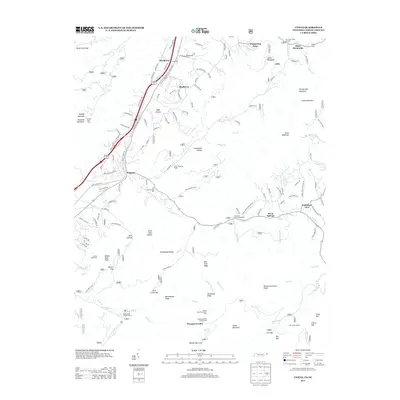 2013 Unicoi2013 Print · USGSUnicoi and the surrounding mountain gaps are documented here in the early twenty-first century as the region balanced its valley settlements with expansive forest lands. Genealogists and local historians can locate named settlements like Marbleton and Shadtown or trace routes through Sugar Hollow and Limestone Cove.
 - 2016 Map of Unicoi, 2016 Print
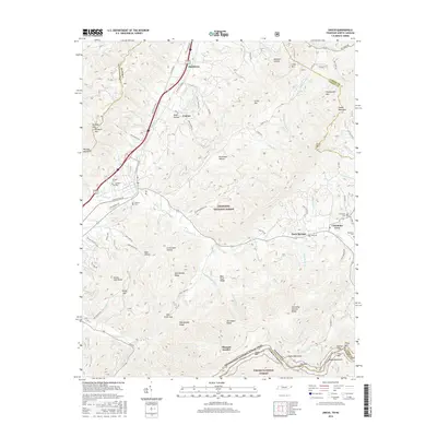 2016 Unicoi2016 Print · USGSUnicoi County at the Tennessee-North Carolina border shows a landscape defined by mountain ridges and the high-elevation Appalachian Trail. Genealogists can trace family heritage through sites like Swingle Cem, Limestone Cove, and Marbleton.
 - 2016 Map of Erwin, 2016 Print
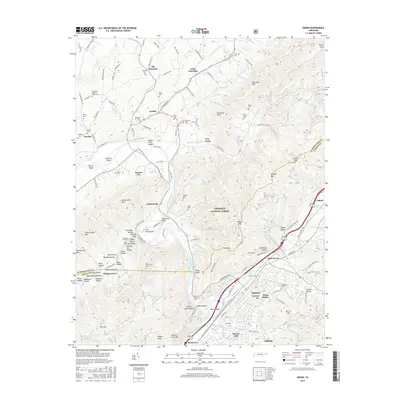 2016 Erwin2016 Print · USGSThe Nolichucky River valley in East Tennessee remains a rugged landscape of national forest and mountain settlements in this 2010s survey. Researchers can locate numerous family burial sites like Old Dutch Meeting House Cem and trace landmarks from Bumpus Cove to Shinbone Rock.
 - 2016 Map of Johnson City, 2016 Print
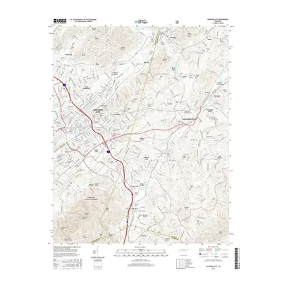 2016 Johnson City2016 Print · USGSJohnson City and Elizabethton appear here in the mid-2010s, showing the intersection of Appalachian higher education and mountain geography. Researchers can trace historic family grounds like Tipton-Haynes Cem and landmarks like Milligan Coll or the Johnson City Airport.
 - 2019 Map of Johnson City, 2019 Print
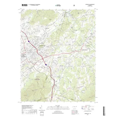 2019 Johnson City2019 Print · USGSThe growing urban corridors of Johnson City meet the high ridges of the Cherokee National Forest in this modern survey. Genealogists can locate family-named sites like Tipton-Haynes Cem and Fagan Cem, or explore landmarks such as Sabine Hill.
 - 2019 Map of Unicoi, 2019 Print
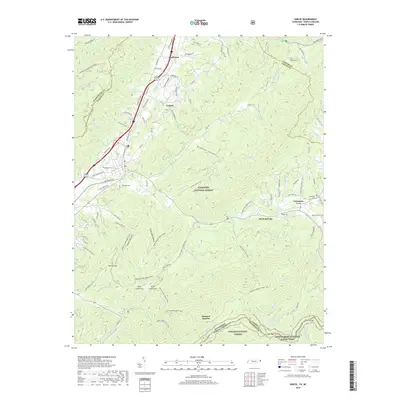 2019 Unicoi2019 Print · USGSThe Unicoi area at the Tennessee and North Carolina border is defined by deep gaps and remote valley settlements. Genealogists and hikers can trace historic family landmarks like Swingle Cem or follow the path of the Appalachian National Scenic Trail and Limestone Cove Trail.
 - 2019 Map of Erwin, 2019 Print
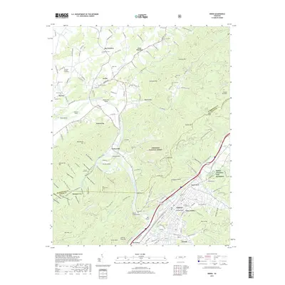 2019 Erwin2019 Print · USGSUnicoi and Washington counties are documented here in the late twenty-teens, showing the steep mountain gaps and river valleys that define the region. Genealogists can locate family burial sites at Old Dutch Meeting House Cem, Bethesda Cem, or the Old Embreeville Cem.
 - 2022 Map of Unicoi, 2022 Print
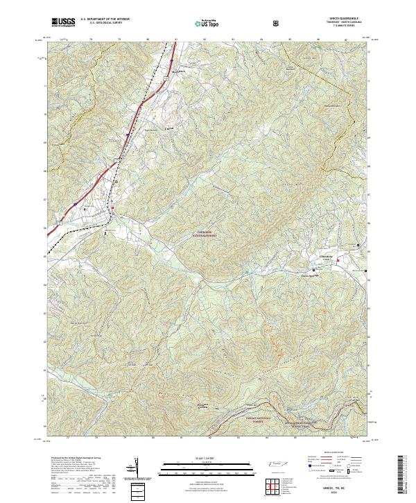 2022 Unicoi2022 Print · USGSThe northern Blue Ridge mountains meet the Tennessee-North Carolina border here in the early twenty-first century. Genealogists and hikers can trace family burial sites like Peterson Cem or follow the Appalachian National Scenic Trail through the Unaka Mountains.
 - 2022 Map of Erwin, 2022 Print
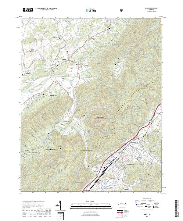 2022 Erwin2022 Print · USGSUnicoi County in the 2020s remains defined by the winding Nolichucky River and the steep ridges of the Cherokee National Forest. Researchers can trace local heritage through dozens of family burial grounds like Old Dutch House Cem or explore the civic heart of Erwin near the Unicoi County Courthouse.
 - 2022 Map of Johnson City, 2022 Print
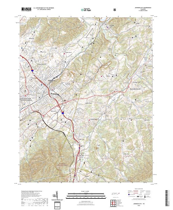 2022 Johnson City2022 Print · USGSJohnson City and Elizabethton appear at a modern crossroads of education and history in the early twenty-first century. Researchers can trace family roots at Mountain Home National Cemetery or locate historic grounds like Tipton-Haynes Cem and Milligan College.
End of results
Showing maps 1-18 of 18
Top cities near Unicoi
- Johnson City historical maps
- Kingsport historical maps
- Elizabethton historical maps
- Erwin historical maps
- Jonesborough historical maps
- Oak Grove historical maps
See more
Top neighborhoods of Unicoi
Frequently asked questions
- What are the different types of historical maps available for Unicoi?
- What is the oldest map of Unicoi?
- Where can I purchase historical maps of Unicoi for my home or office?
- Where can I download high-res historical maps of Unicoi?
- Are there historical topographic maps available for Unicoi?
- Is there historical aerial imagery available for Unicoi?
- Where are historical maps of Unicoi sourced from?