2000s (21st Century) Maps of Maynardville, Tennessee
Explore 10 historic maps of Maynardville from the 2000s (21st Century). These maps offer a rare glimpse into what life looked like during the 2000s — showing old roads, neighborhoods, homes, and landmarks that have changed or disappeared over time.
Whether you're researching your family's past, planning a metal detecting trip, or studying how Maynardville's landscape evolved across the 2000s, these high-resolution maps are a powerful tool for exploring the history of this region.
- Focus on a specific era: All maps on this page are from the 2000s, giving you a focused view of this time period.
- See what’s changed: Compare century-old streets, trails, and buildings to today's modern landscape using overlays and satellite layers.
- Research with precision: Use these maps for genealogy, historical research, land use analysis, or educational projects.
- View, download, or print: Maps are fully viewable online in high resolution, and can be downloaded or printed for your own records.
Start exploring Maynardville's history through authentic maps from the 2000s. This is your window into the past.
Maynardville, TN maps
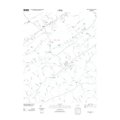
(10)- 2010 Map of Graveston, 2010 Print
 2010 Graveston2010 Print · USGSCovers Maynardville, including Plainview, Luttrell, and other nearby areas
 - 2010 Map of Maynardville, 2010 Print
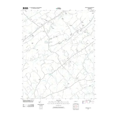
 2010 Maynardville2010 Print · USGSCovers Maynardville, including Oak Grove, Dykes, and other nearby areas
 - 2013 Map of Maynardville, 2013 Print
 2013 Maynardville2013 Print · USGSCovers Maynardville, including Oak Grove, Dykes, and other nearby areas
 - 2013 Map of Graveston, 2013 Print
 2013 Graveston2013 Print · USGSCovers Maynardville, including Plainview, Luttrell, and other nearby areas
 - 2016 Map of Graveston, 2016 Print
 2016 Graveston2016 Print · USGSCovers Maynardville, including Plainview, Luttrell, and other nearby areas
 - 2016 Map of Maynardville, 2016 Print
 2016 Maynardville2016 Print · USGSCovers Maynardville, including Oak Grove, Dykes, and other nearby areas
 - 2019 Map of Graveston, 2019 Print
 2019 Graveston2019 Print · USGSCovers Maynardville, including Plainview, Luttrell, and other nearby areas
 - 2019 Map of Maynardville, 2019 Print
 2019 Maynardville2019 Print · USGSCovers Maynardville, including Oak Grove, Dykes, and other nearby areas
 - 2022 Map of Graveston, 2022 Print
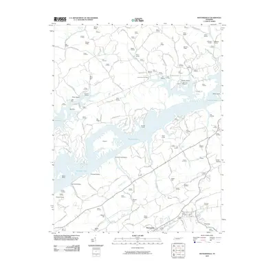
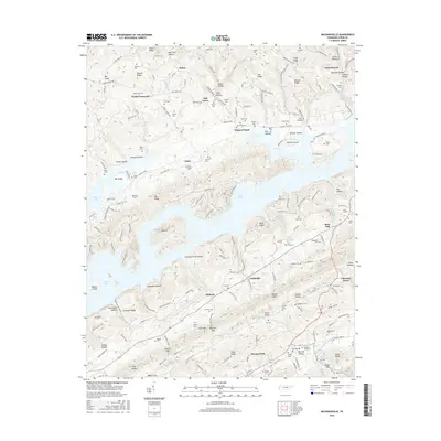
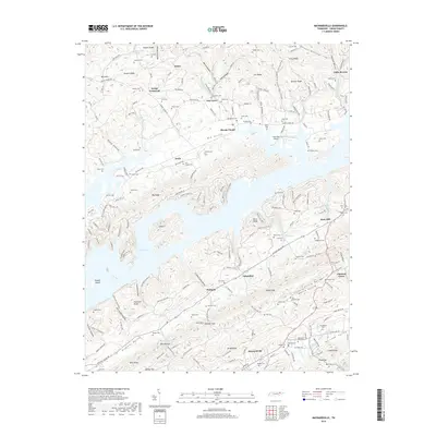
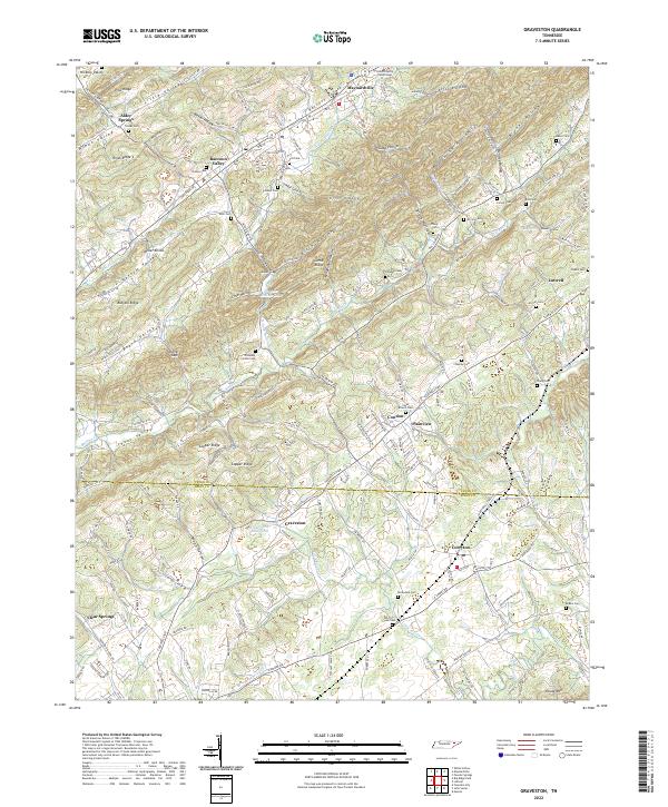 2022 Graveston2022 Print · USGSEastern Tennessee valley life comes into focus as the communities of Maynardville and Corryton bridge the Union and Knox County line. Trace family roots across dozens of burial sites like Rockydale Cem or landmarks such as the Union County Courthouse.
 - 2022 Map of Maynardville, 2022 Print
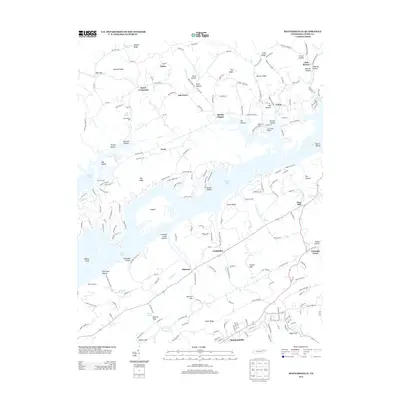
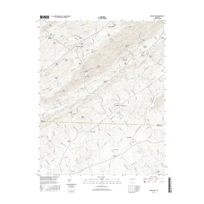
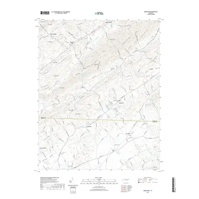
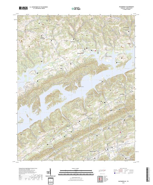 2022 Maynardville2022 Print · USGSMaynardville and the surrounding Union County ridges are shown here as they appeared in the early twenty-first century. Genealogists can trace family heritage through dozens of sites like Graves Cem and Irwin Chapel Cem, or explore the unique geography of Norris Lake.
End of results
Showing maps 1-10 of 10
Top cities near Maynardville
- Knoxville historical maps
- Powell historical maps
- Halls Crossroads historical maps
- New Tazewell historical maps
- Mascot historical maps
- Strawberry Plains historical maps
See more
Top neighborhoods of Maynardville
Frequently asked questions
- What are the different types of historical maps available for Maynardville?
- What is the oldest map of Maynardville?
- Where can I purchase historical maps of Maynardville for my home or office?
- Where can I download high-res historical maps of Maynardville?
- Are there historical topographic maps available for Maynardville?
- Is there historical aerial imagery available for Maynardville?
- Where are historical maps of Maynardville sourced from?