2000s (21st Century) Maps of White County, Tennessee
Explore 70 historic maps of White County from the 2000s (21st Century). These maps offer a rare glimpse into what life looked like during the 2000s — showing old roads, neighborhoods, homes, and landmarks that have changed or disappeared over time.
Whether you're researching your family's past, planning a metal detecting trip, or studying how White County's landscape evolved across the 2000s, these high-resolution maps are a powerful tool for exploring the history of this region.
- Focus on a specific era: All maps on this page are from the 2000s, giving you a focused view of this time period.
- See what’s changed: Compare century-old streets, trails, and buildings to today's modern landscape using overlays and satellite layers.
- Research with precision: Use these maps for genealogy, historical research, land use analysis, or educational projects.
- View, download, or print: Maps are fully viewable online in high resolution, and can be downloaded or printed for your own records.
Start exploring White County's history through authentic maps from the 2000s. This is your window into the past.
White County, TN maps
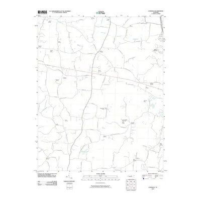
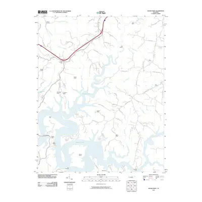
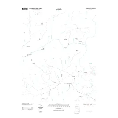
(70)- 2010 Map of Dry Valley, 2010 Print
 2010 Dry Valley2010 Print · USGSCovers White County, including Cookeville, Cherry Creek, and other nearby areas
 - 2010 Map of De Rossett, 2010 Print
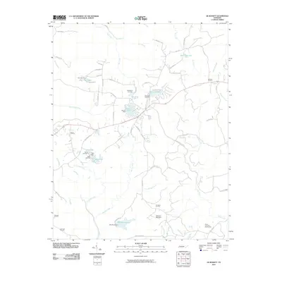 2010 De Rossett2010 Print · USGSCovers White County, including Mobra, De Rossett, and other nearby areas
 - 2010 Map of Sligo Bridge, 2010 Print
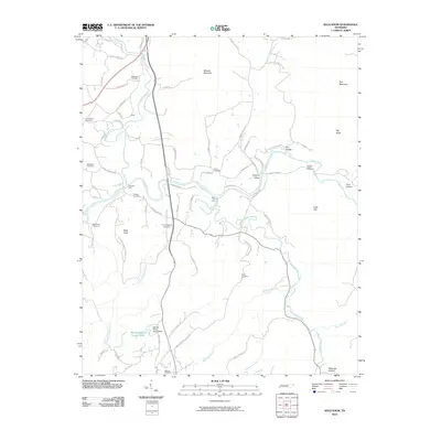
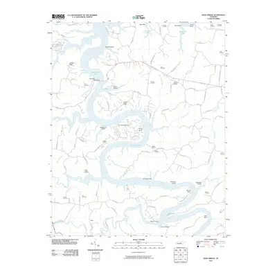 2010 Sligo Bridge2010 Print · USGSCovers White County, including Peeled Chestnut, Jefferson, and other nearby areas
 - 2010 Map of Campaign, 2010 Print
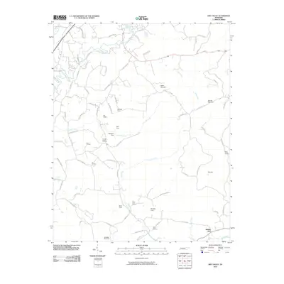
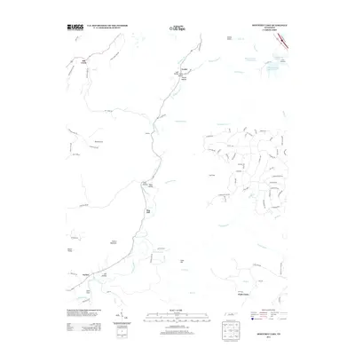
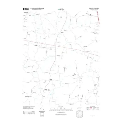
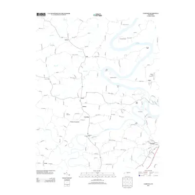
 2010 Campaign2010 Print · USGSCovers White County, including Fall City, Campaign, and other nearby areas
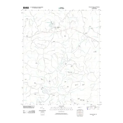
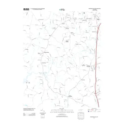
 - 2010 Map of Bald Knob, 2010 Print
 2010 Bald Knob2010 Print · USGSCovers White County, including Spencer, Cummingsville, and other nearby areas
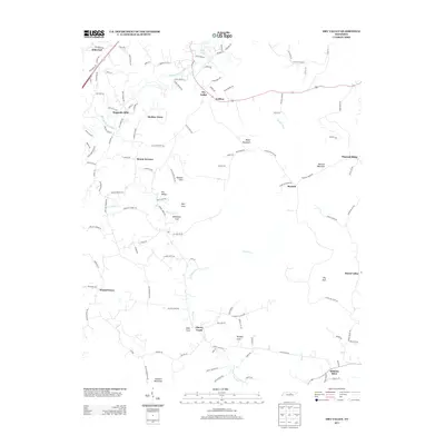
 - 2010 Map of Herbert Domain, 2010 Print
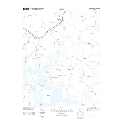
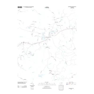
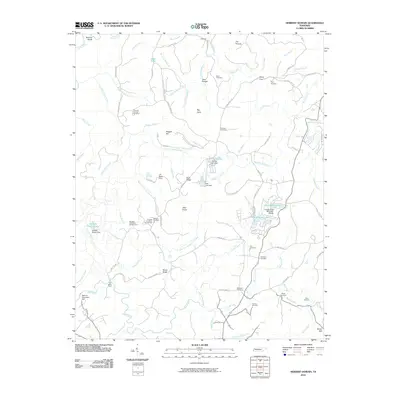 2010 Herbert Domain2010 Print · USGSCovers White County, including Hale Mill, Newton, and other nearby areas
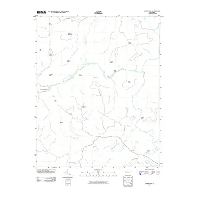
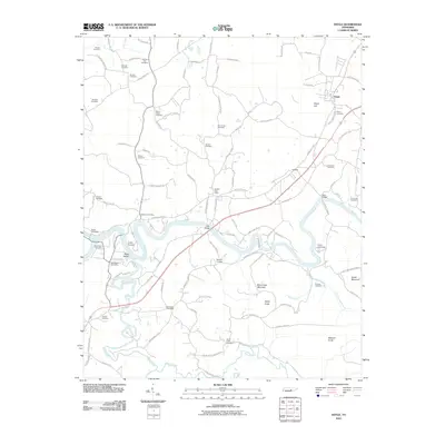
 - 2010 Map of Sparta, 2010 Print
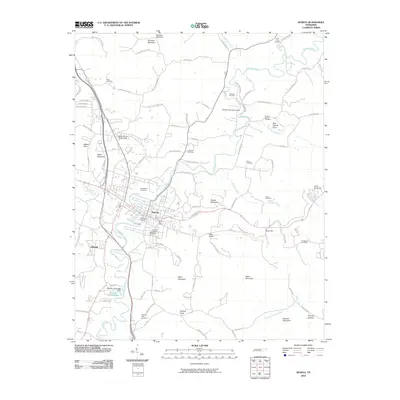 2010 Sparta2010 Print · USGSCovers White County, including Sparta, Mount Vernon Estates, and other nearby areas
 - 2010 Map of Pleasant Hill, 2010 Print
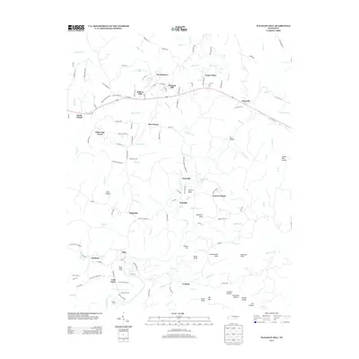
 2010 Pleasant Hill2010 Print · USGSCovers White County, including Pleasant Hill, Clifty, and other nearby areas
 - 2010 Map of Cassville, 2010 Print
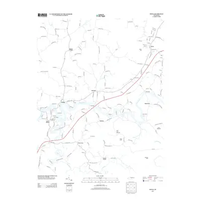
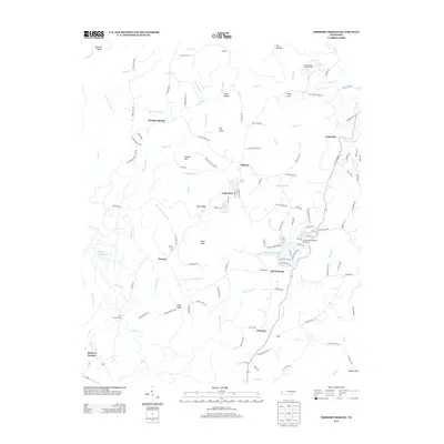
 2010 Cassville2010 Print · USGSCovers White County, including Gum Spring, Darkey Springs, and other nearby areas
 - 2010 Map of Lonewood, 2010 Print
 2010 Lonewood2010 Print · USGSCovers White County, including Lonewood, Dodson, and other nearby areas
 - 2010 Map of Burgess Falls, 2010 Print
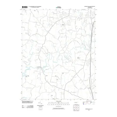 2010 Burgess Falls2010 Print · USGSCovers White County, including Cookeville, Macedonia, and other nearby areas
 - 2010 Map of Monterey Lake, 2010 Print
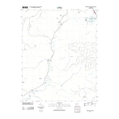 2010 Monterey Lake2010 Print · USGSCovers White County, including Monterey, Taylors, and other nearby areas
 - 2010 Map of Silver Point, 2010 Print
 2010 Silver Point2010 Print · USGSCovers White County, including Rock Castle, Nash, and other nearby areas
 - 2010 Map of Doyle, 2010 Print
 2010 Doyle2010 Print · USGSCovers White County, including Doyle, Mount Pisgah, and other nearby areas
 - 2013 Map of Dry Valley, 2013 Print
 2013 Dry Valley2013 Print · USGSCovers White County, including Cookeville, Cherry Creek, and other nearby areas
 - 2013 Map of Burgess Falls, 2013 Print
 2013 Burgess Falls2013 Print · USGSCovers White County, including Cookeville, Macedonia, and other nearby areas
 - 2013 Map of Monterey Lake, 2013 Print
 2013 Monterey Lake2013 Print · USGSCovers White County, including Monterey, Taylors, and other nearby areas
 - 2013 Map of Silver Point, 2013 Print
 2013 Silver Point2013 Print · USGSCovers White County, including Rock Castle, Nash, and other nearby areas
 - 2013 Map of Pleasant Hill, 2013 Print
 2013 Pleasant Hill2013 Print · USGSCovers White County, including Pleasant Hill, Clifty, and other nearby areas
 - 2013 Map of Doyle, 2013 Print
 2013 Doyle2013 Print · USGSCovers White County, including Doyle, Mount Pisgah, and other nearby areas
 - 2013 Map of Lonewood, 2013 Print
 2013 Lonewood2013 Print · USGSCovers White County, including Lonewood, Dodson, and other nearby areas
 - 2013 Map of Herbert Domain, 2013 Print
 2013 Herbert Domain2013 Print · USGSCovers White County, including Hale Mill, Newton, and other nearby areas
 - 2013 Map of De Rossett, 2013 Print
 2013 De Rossett2013 Print · USGSCovers White County, including Mobra, De Rossett, and other nearby areas
 - 2013 Map of Cassville, 2013 Print
 2013 Cassville2013 Print · USGSCovers White County, including Gum Spring, Darkey Springs, and other nearby areas
 - 2013 Map of Campaign, 2013 Print
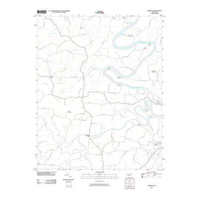
 2013 Campaign2013 Print · USGSCovers White County, including Fall City, Campaign, and other nearby areas
Showing maps 1-25 of 70
Top cities of White County
Frequently asked questions
- What are the different types of historical maps available for White County?
- What is the oldest map of White County?
- Where can I purchase historical maps of White County for my home or office?
- Where can I download high-res historical maps of White County?
- Are there historical topographic maps available for White County?
- Is there historical aerial imagery available for White County?
- Where are historical maps of White County sourced from?