Old Maps of Franklin, Tennessee
Explore 18 old maps of Franklin, spanning from 1909 to today. These high-resolution historic maps reveal how streets, neighborhoods, landmarks, and natural features evolved over time — perfect for genealogy, metal detecting, research, and local history exploration.
What you can do with these maps:
- See how Franklin changed over time: Compare historical maps to modern-day views to trace roads, homesites, rail lines & more.
- View detailed metadata: Each map includes creators, publishers, year, scale, and archive source.
- Overlay maps with satellite & LiDAR: Visualize the past alongside modern tools to explore terrain & human change.
- Trusted historical sources: Maps sourced from the USGS, Library of Congress, and other archives.
- Access maps your way: View online, download high-res files, or order prints for personal or research use.
Start exploring old maps of Franklin to uncover forgotten places, hidden landmarks, and the deep history beneath your feet.
Franklin, TN maps
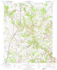
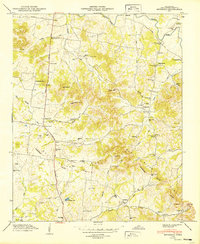
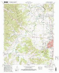
(18)- 1909 Map of Franklin
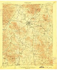 1909 Franklin1909 Print · USGSCovers Franklin, including Brentwood, Spring Hill, and other nearby areas2 unique versions available
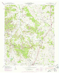
 - 1936 Map of Spring Hill
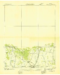 1936 Spring Hill1936 Print · USGSCovers Franklin, including Spring Hill, Thompson's Station, and other nearby areas
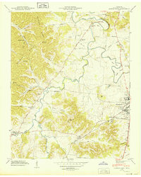
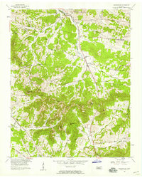
 - 1936 Map of Bethesda, 1969 Print
 1936 Bethesda1969 Print · USGSCovers Franklin, including Spring Hill, Thompson's Station, and other nearby areas2 unique versions available
 - 1942 Map of Lebanon, 1944 Print
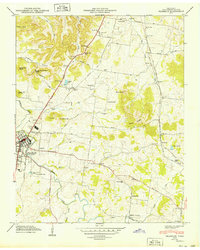
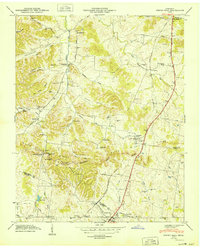
 1942 Lebanon1944 Print · USGSCovers Franklin, including Nashville, Murfreesboro, and other nearby areas
 - 1946 Map of Leipers Fork, 1966 Print
 1946 Leipers Fork1966 Print · USGSCovers Franklin, including Traceview, Monticello, and other nearby areas2 unique versions available
 - 1946 Map of Bethesda, 1974 Print
 1946 Bethesda1974 Print · USGSCovers Franklin, including Spring Hill, Thompson's Station, and other nearby areas
 - 1946 Map of Spring Hill, 1975 Print
 1946 Spring Hill1975 Print · USGSCovers Franklin, including Spring Hill, Thompson's Station, and other nearby areas3 unique versions available
 - 1949 Map of Leipers Fork
 1949 Leipers Fork1949 Print · USGSCovers Franklin, including Traceview, Monticello, and other nearby areas
 - 1949 Map of Franklin
 1949 Franklin1949 Print · USGSCovers Franklin, including Brentwood, Jamestown, and other nearby areas3 unique versions available
 - 1949 Map of Bethesda
 1949 Bethesda1949 Print · USGSCovers Franklin, including Spring Hill, Thompson's Station, and other nearby areas3 unique versions available
 - 1949 Map of Spring Hill
 1949 Spring Hill1949 Print · USGSCovers Franklin, including Spring Hill, Thompson's Station, and other nearby areas
 - 1956 Map of Columbia, 1960 Print
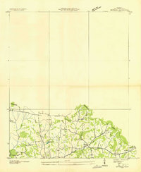
 1956 Columbia1960 Print · USGSCovers Franklin, including Nashville, Murfreesboro, and other nearby areas6 unique versions available
 - 1957 Map of Nolensville, 1958 Print
 1957 Nolensville1958 Print · USGSCovers Franklin, including Nashville, Brentwood, and other nearby areas4 unique versions available
 - 1981 Map of Franklin
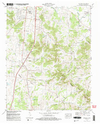
 1981 Franklin1981 Print · USGSCovers Franklin, including Brentwood, Jamestown, and other nearby areas2 unique versions available
 - 1981 Map of Leipers Fork, 1982 Print
 1981 Leipers Fork1982 Print · USGSCovers Franklin, including Traceview, Monticello, and other nearby areas3 unique versions available
 - 1982 Map of Bethesda, 1983 Print
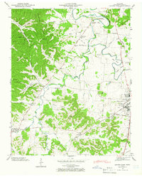
 1982 Bethesda1983 Print · USGSCovers Franklin, including Spring Hill, Thompson's Station, and other nearby areas2 unique versions available
 - 1985 Map of Murfreesboro, 1986 Print
 1985 Murfreesboro1986 Print · USGSCovers Franklin, including Nashville, Murfreesboro, and other nearby areas
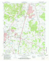
 - 1997 Map of Franklin, 2002 Print
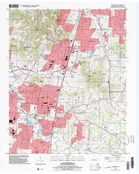 1997 Franklin2002 Print · USGSCovers Franklin, including Brentwood, Jamestown, and other nearby areas
End of results
Showing maps 1-18 of 18
Top cities near Franklin
- Nashville historical maps
- Smyrna historical maps
- Brentwood historical maps
- Columbia historical maps
- Spring Hill historical maps
- La Vergne historical maps
See more
Top neighborhoods of Franklin
- Magnolia Place historical maps
- Highgate historical maps
- Hill Estates historical maps
- Idlewood historical maps
- Westfield Estates historical maps
- Landings historical maps
See more
Frequently asked questions
- What are the different types of historical maps available for Franklin?
- What is the oldest map of Franklin?
- Where can I purchase historical maps of Franklin for my home or office?
- Where can I download high-res historical maps of Franklin?
- Are there historical topographic maps available for Franklin?
- Is there historical aerial imagery available for Franklin?
- Where are historical maps of Franklin sourced from?