Old Maps of Adams Grove, Tennessee for Hiking & Exploration
Hike through history with 11 historic maps of Adams Grove. Explore old trails, ghost towns, and forgotten backroads — perfect for outdoor adventurers and local explorers.
- Rediscover forgotten places: Map out old mining camps, roads, and footpaths that no longer exist on modern maps.
- Layer with modern tools: Combine with LiDAR or satellite views to plan hikes through historical terrain.
- Made for exploration: Popular among hikers, overlanders, and local history lovers.
Use these maps to find adventure and explore the hidden past of Adams Grove.
Adams Grove, TN maps
(11)- 1942 Map of Lebanon, 1944 Print
 1942 Lebanon1944 Print · USGSMiddle Tennessee at the start of the war years reveals a landscape of historic homesteads and burgeoning military infrastructure. Genealogists and historians can trace family locations near The Hermitage, follow the Tennessee Central rail lines, or locate the newly established Smyrna Air Base.
 - 1956 Map of Vine, 1957 Print
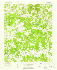 1956 Vine1957 Print · USGSWilson County's cedar glades and crossroad hamlets are preserved here during the mid-fifties. Genealogists and historians can trace family locations near Bairds Mill, Adams Grove Ch, and the winding path of Hurricane Creek.2 unique versions available
 - 1956 Map of Nashville, 1971 Print
 1956 Nashville1971 Print · USGSThe Tennessee-Kentucky borderlands come into focus in the mid-1960s as major reservoir projects transformed the Cumberland and Tennessee river valleys. Researchers can trace the rail networks of the Louisville and Nashville and visit sites like Fort Campbell and Fort Donelson National Military Park.2 unique versions available
 - 1959 Map of Nashville
 1959 Nashville1959 Print · USGSMiddle Tennessee and Southern Kentucky come into focus during the late fifties, showing the region's transition into a modern transportation and military hub. Researchers can trace the sprawling Fort Campbell Military Reservation or locate historic rail stops along the Tennessee Central Ry and Illinois Central RR.
 - 1984 Map of Nashville, 1985 Print
 1984 Nashville1985 Print · USGSMiddle Tennessee in the mid-1980s reveals a region balancing urban expansion with its deep river-valley roots. Genealogists and historians can trace family locations near Old Hickory Lake, explore the grounds of Vanderbilt University, or locate ancestral sites like Greenwood Cem.
 - 1994 Map of Vine, 1997 Print
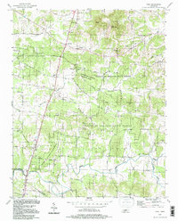 1994 Vine1997 Print · USGSThe Wilson and Rutherford county borderlands appear in the mid-nineties as a landscape of dense state forests and scattered rural hamlets. Researchers can trace family landmarks like Jacobs Hill Ch, find the old crossing at Bairds Mill, or explore Hermit Cave.
 - 2010 Map of Vine, 2010 Print
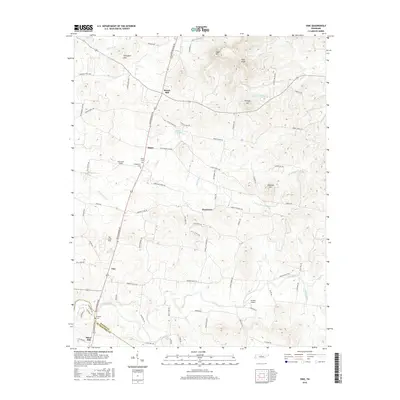
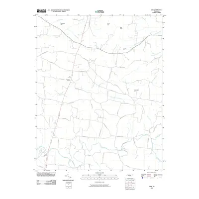 2010 Vine2010 Print · USGSCovers Adams Grove, including Major, Silver Hill, and other nearby areas
 - 2013 Map of Vine, 2013 Print
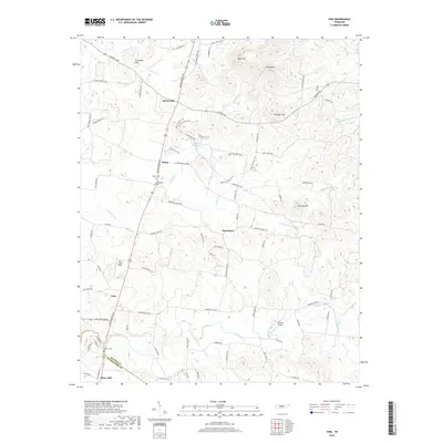
 2013 Vine2013 Print · USGSCovers Adams Grove, including Major, Silver Hill, and other nearby areas
 - 2016 Map of Vine, 2016 Print
 2016 Vine2016 Print · USGSCovers Adams Grove, including Major, Silver Hill, and other nearby areas
 - 2019 Map of Vine, 2019 Print
 2019 Vine2019 Print · USGSCovers Adams Grove, including Major, Silver Hill, and other nearby areas
 - 2022 Map of Vine, 2022 Print
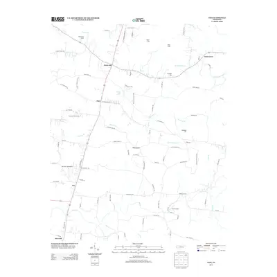
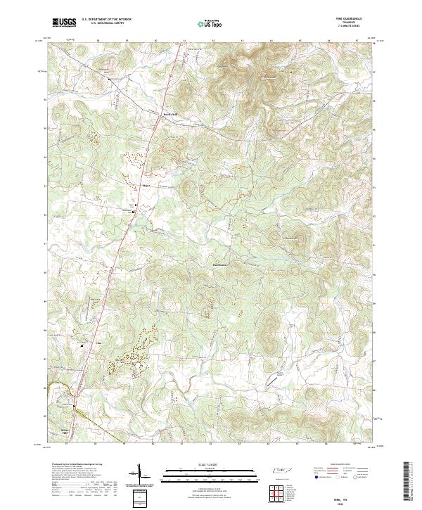 2022 Vine2022 Print · USGSSouthern Wilson County in the early twenty-first century remains a landscape of rolling knobs and deep-rooted family history. Genealogists and local researchers can trace historic property lines near Bairds Mill or locate ancestral burial sites at Huddleston Cem and Major Cem.
End of results
Showing maps 1-11 of 11
Top cities near Adams Grove
- Murfreesboro historical maps
- Smyrna historical maps
- Gallatin historical maps
- Lebanon historical maps
- Mount Juliet historical maps
- Watertown historical maps
See more
Frequently asked questions
- What are the different types of historical maps available for Adams Grove?
- What is the oldest map of Adams Grove?
- Where can I purchase historical maps of Adams Grove for my home or office?
- Where can I download high-res historical maps of Adams Grove?
- Are there historical topographic maps available for Adams Grove?
- Is there historical aerial imagery available for Adams Grove?
- Where are historical maps of Adams Grove sourced from?