2000s (21st Century) Maps of Rural Hill, Tennessee
Explore 15 historic maps of Rural Hill from the 2000s (21st Century). These maps offer a rare glimpse into what life looked like during the 2000s — showing old roads, neighborhoods, homes, and landmarks that have changed or disappeared over time.
Whether you're researching your family's past, planning a metal detecting trip, or studying how Rural Hill's landscape evolved across the 2000s, these high-resolution maps are a powerful tool for exploring the history of this region.
- Focus on a specific era: All maps on this page are from the 2000s, giving you a focused view of this time period.
- See what’s changed: Compare century-old streets, trails, and buildings to today's modern landscape using overlays and satellite layers.
- Research with precision: Use these maps for genealogy, historical research, land use analysis, or educational projects.
- View, download, or print: Maps are fully viewable online in high resolution, and can be downloaded or printed for your own records.
Start exploring Rural Hill's history through authentic maps from the 2000s. This is your window into the past.
Rural Hill, TN maps
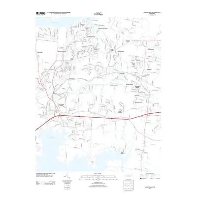
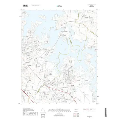
(15)- 2010 Map of La Vergne, 2010 Print
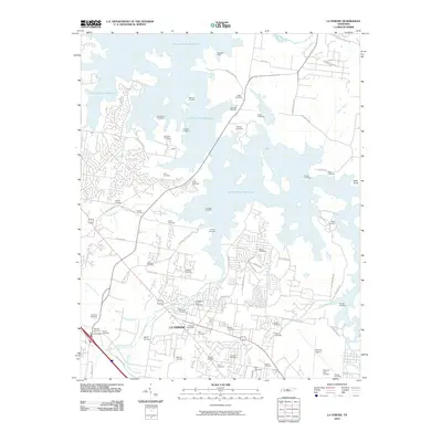 2010 La Vergne2010 Print · USGSCovers Rural Hill, including Nashville, Smyrna, and other nearby areas
 - 2010 Map of Hermitage, 2010 Print
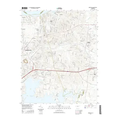
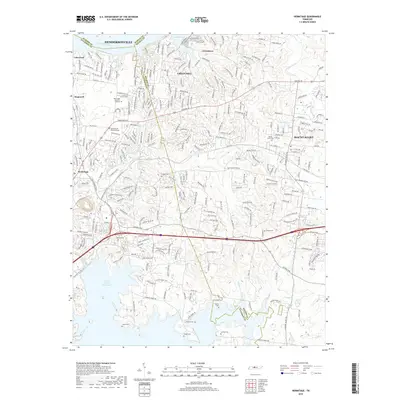
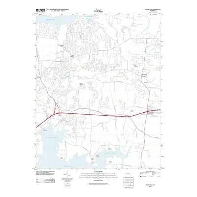 2010 Hermitage2010 Print · USGSCovers Rural Hill, including Nashville, Hendersonville, and other nearby areas
 - 2010 Map of Gladeville, 2010 Print
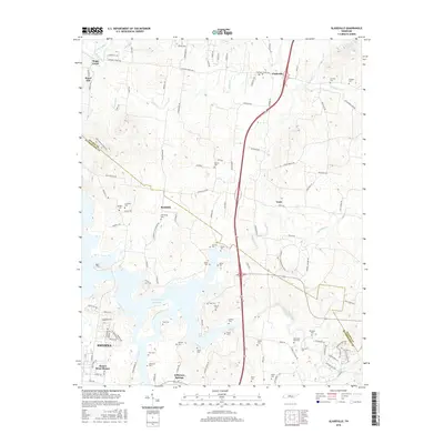
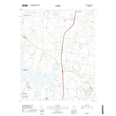
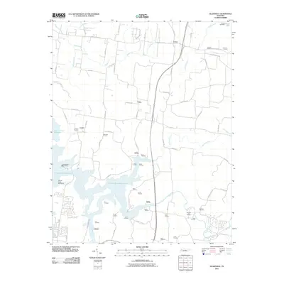 2010 Gladeville2010 Print · USGSCovers Rural Hill, including Smyrna, La Vergne, and other nearby areas
 - 2013 Map of Gladeville, 2013 Print
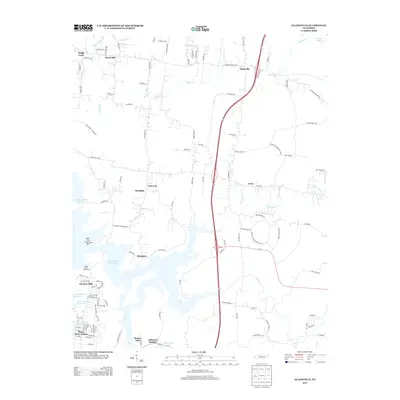 2013 Gladeville2013 Print · USGSCovers Rural Hill, including Smyrna, La Vergne, and other nearby areas
 - 2013 Map of Hermitage, 2013 Print
 2013 Hermitage2013 Print · USGSCovers Rural Hill, including Nashville, Hendersonville, and other nearby areas
 - 2013 Map of La Vergne, 2013 Print
 2013 La Vergne2013 Print · USGSCovers Rural Hill, including Nashville, Smyrna, and other nearby areas
 - 2016 Map of La Vergne, 2016 Print
 2016 La Vergne2016 Print · USGSCovers Rural Hill, including Nashville, Smyrna, and other nearby areas
 - 2016 Map of Gladeville, 2016 Print
 2016 Gladeville2016 Print · USGSCovers Rural Hill, including Smyrna, La Vergne, and other nearby areas
 - 2016 Map of Hermitage, 2016 Print
 2016 Hermitage2016 Print · USGSCovers Rural Hill, including Nashville, Hendersonville, and other nearby areas
 - 2019 Map of Hermitage, 2019 Print
 2019 Hermitage2019 Print · USGSCovers Rural Hill, including Nashville, Hendersonville, and other nearby areas
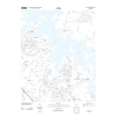
 - 2019 Map of La Vergne, 2019 Print
 2019 La Vergne2019 Print · USGSCovers Rural Hill, including Nashville, Smyrna, and other nearby areas
 - 2019 Map of Gladeville, 2019 Print
 2019 Gladeville2019 Print · USGSCovers Rural Hill, including Smyrna, La Vergne, and other nearby areas
 - 2022 Map of La Vergne, 2022 Print
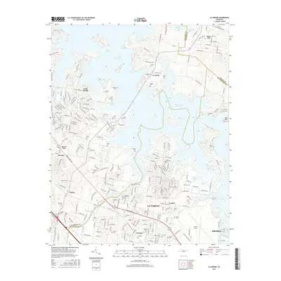
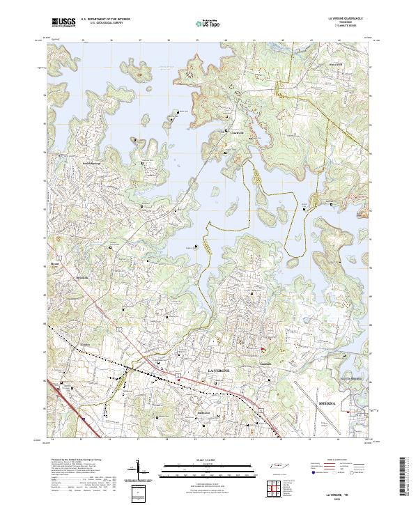 2022 La Vergne2022 Print · USGSThe La Vergne and Smyrna corridor is shown here during a period of significant growth along the J Percy Priest Reservoir. Local historians can trace dozens of small family burial sites like Pugh Cem and Mabry Cem tucked between modern residential developments.
 - 2022 Map of Hermitage, 2022 Print
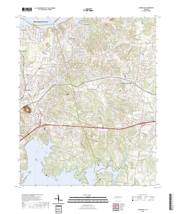 2022 Hermitage2022 Print · USGSThe eastern Nashville suburbs near Hermitage and Mount Juliet come alive in this detailed recent survey. Genealogists can trace family heritage through numerous burial sites like John G Gleaves Cem, Cowgill Cem, and Jenkins Cem tucked along the Stoners Cr watershed.
 - 2022 Map of Gladeville, 2022 Print
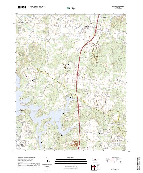 2022 Gladeville2022 Print · USGSThe Wilson and Rutherford county line comes alive in this recent survey of the lands between the Stones River and Lebanon. Researchers can trace dozens of family burial sites like Adkerson Cem and Fellowship Cem near the waters of J Percy Priest Reservoir.
End of results
Showing maps 1-15 of 15
Top cities near Rural Hill
- Nashville historical maps
- Murfreesboro historical maps
- Hendersonville historical maps
- Smyrna historical maps
- Brentwood historical maps
- La Vergne historical maps
See more
Frequently asked questions
- What are the different types of historical maps available for Rural Hill?
- What is the oldest map of Rural Hill?
- Where can I purchase historical maps of Rural Hill for my home or office?
- Where can I download high-res historical maps of Rural Hill?
- Are there historical topographic maps available for Rural Hill?
- Is there historical aerial imagery available for Rural Hill?
- Where are historical maps of Rural Hill sourced from?