2000s (21st Century) Maps of Huntington, Texas
Explore 6 historic maps of Huntington from the 2000s (21st Century). These maps offer a rare glimpse into what life looked like during the 2000s — showing old roads, neighborhoods, homes, and landmarks that have changed or disappeared over time.
Whether you're researching your family's past, planning a metal detecting trip, or studying how Huntington's landscape evolved across the 2000s, these high-resolution maps are a powerful tool for exploring the history of this region.
- Focus on a specific era: All maps on this page are from the 2000s, giving you a focused view of this time period.
- See what’s changed: Compare century-old streets, trails, and buildings to today's modern landscape using overlays and satellite layers.
- Research with precision: Use these maps for genealogy, historical research, land use analysis, or educational projects.
- View, download, or print: Maps are fully viewable online in high resolution, and can be downloaded or printed for your own records.
Start exploring Huntington's history through authentic maps from the 2000s. This is your window into the past.
Huntington, TX maps
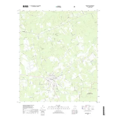
(6)- 2003 Map of Huntington, 2004 Print
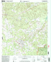 2003 Huntington2004 Print · USGSAngelina County settlement and forest management intersect in this early 2000s study of the Huntington area. Researchers can trace rural lineage through numerous landmarks like Traweek Cem, Little Hope Ch, and the outlying community of Dunagan.
 - 2010 Map of Huntington, 2010 Print
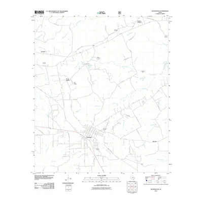 2010 Huntington2010 Print · USGSCovers Huntington, including Rocky Springs, Alco, and other nearby areas
 - 2013 Map of Huntington, 2013 Print
 2013 Huntington2013 Print · USGSCovers Huntington, including Rocky Springs, Alco, and other nearby areas
 - 2016 Map of Huntington, 2016 Print
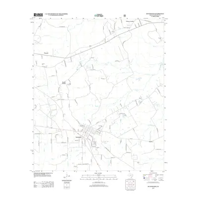
 2016 Huntington2016 Print · USGSCovers Huntington, including Rocky Springs, Alco, and other nearby areas
 - 2019 Map of Huntington, 2019 Print
 2019 Huntington2019 Print · USGSCovers Huntington, including Rocky Springs, Alco, and other nearby areas
 - 2022 Map of Huntington, 2022 Print
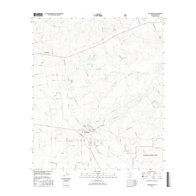
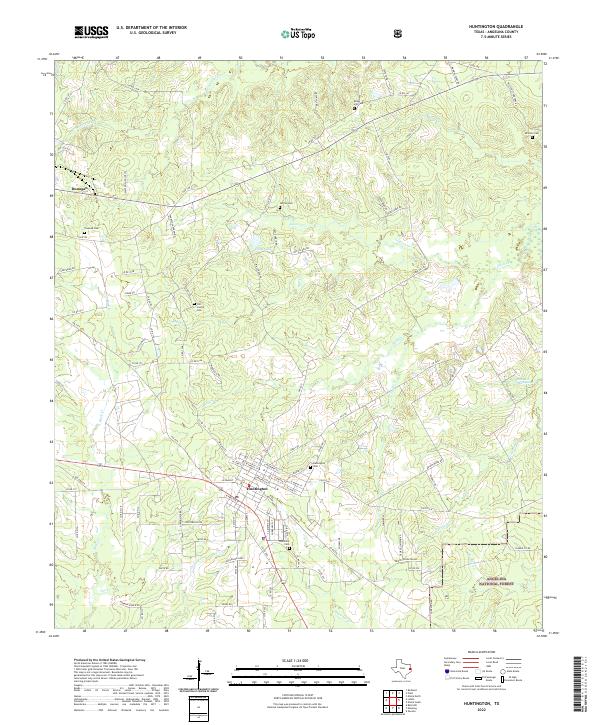 2022 Huntington2022 Print · USGSAngelina County at the start of the 2020s shows the town of Huntington as a thriving hub for the surrounding piney woods. Researchers can trace local lineage through the Huntington Cemetery or map the rail corridor of the Southern Pacific Railroad as it passes near Manning.
End of results
Showing maps 1-6 of 6
Top cities near Huntington
- Lufkin historical maps
- Diboll historical maps
- Hudson historical maps
- Redland historical maps
- Burke historical maps
- Zavalla historical maps
See more
Frequently asked questions
- What are the different types of historical maps available for Huntington?
- What is the oldest map of Huntington?
- Where can I purchase historical maps of Huntington for my home or office?
- Where can I download high-res historical maps of Huntington?
- Are there historical topographic maps available for Huntington?
- Is there historical aerial imagery available for Huntington?
- Where are historical maps of Huntington sourced from?