Old Maps of Campbellton, Texas for Genealogy
Trace your family roots with 13 historic maps of Campbellton. These high-res maps reveal old neighborhoods, homesites, landmarks, and streets — helping you uncover where your ancestors lived and how the area evolved over time.
- Explore historic neighborhoods: Identify where your relatives may have lived in the 1800s or 1900s.
- Compare maps over time: Trace the changes in streets, buildings, and landmarks for multi-generational research.
- Perfect for genealogy & ancestry research: Used by family historians and researchers to map out lineage and migration.
These maps are an incredible resource for exploring your personal connection to Campbellton's past.
Campbellton, TX maps
(13)- 1930 Map of Whitsett
 1930 Whitsett1930 Print · USGSThe South Texas brush country unfolds in this late-1920s survey of McMullin County, showing the region as it appeared before widespread development. Trace early drainage routes like San Miguel Creek and find the small settlement of Crowther near Opossum Hill.2 unique versions available
 - 1942 Map of Whitsett
 1942 Whitsett1942 Print · USGSRanching and early oil exploration define this South Texas landscape during the early years of the war. Genealogists can trace family holdings like the Peeler Ranch and Jacob Ranch or locate the Old Oil Field near the settlement of Crowther.
 - 1953 Map of Crystal City
 1953 Crystal City1953 Print · USGSSouth Texas in the early fifties was a landscape of expanding oil fields and vital rail connections. Genealogists and researchers can trace family lands along the Nueces River or locate heritage sites in Asherton, Big Wells, and Batesville.
 - 1955 Map of Crystal City, 1976 Print
 1955 Crystal City1976 Print · USGSSouth Texas ranching and oil country come into focus in the mid-fifties as the rail lines and rivers connect growing hubs. Researchers can trace the development of energy fields like Washburn Oil Field or locate historic settlements from Asherton to Three Rivers.
 - 1961 Map of Crystal City
 1961 Crystal City1961 Print · USGSSouth Texas in the early sixties reveals a landscape of massive cattle ranches and emerging oil fields. Genealogists and historians can trace the Missouri Pacific rail lines through Crystal City, or locate water features like Espantosa Lake and Boynton Reservoir.
 - 1965 Map of Whitsett, 1968 Print
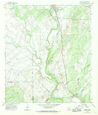 1965 Whitsett1968 Print · USGSSouth Texas ranching and rail activity are captured here during the mid-sixties, centered on the Missouri Pacific line. Genealogists and historians can trace family-named sites like Tom Ranch and 74 Ranch or the small settlements of Campbellton and Whitsett.2 unique versions available
 - 1968 Map of Crystal City
 1968 Crystal City1968 Print · USGSSouth Texas in the late sixties reveals a landscape shaped by ranching roots and the vital waters of the Nueces River. Researchers can trace the rail-driven growth of Crystal City or locate landmarks like Pilot Knob and Espantosa Lake.
 - 1985 Map of Pleasanton
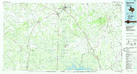 1985 Pleasanton1985 Print · USGSSouth Texas in the mid-1980s is characterized by the rise of petroleum and new water projects like the Choke Canyon Reservoir. Genealogists and historians can trace rail-side settlements along the Missouri Pacific and rural hubs such as Amphion, Fashing, and Campbellton.2 unique versions available
 - 2010 Map of Whitsett, 2010 Print
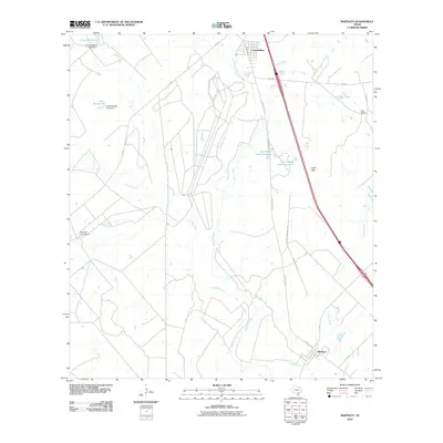 2010 Whitsett2010 Print · USGSThe rural ranchlands of Atascosa and Live Oak counties are documented here in the early twenty-first century. Genealogists and local historians can trace family landholdings and water features across the Seventy-Four Ranch, Tom Ranch, and the settlement at Whitsett.
 - 2012 Map of Whitsett, 2012 Print
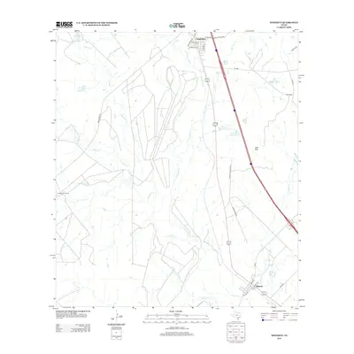 2012 Whitsett2012 Print · USGSThe ranching country of Atascosa County is well-defined in this early 21st-century look at the areas around Campbellton and Whitsett. Researchers can trace family ranch boundaries and water sources like the Atascosa River, Seventy-Four Ranch, and Tom Ranch Lake Number 2.
 - 2016 Map of Whitsett, 2016 Print
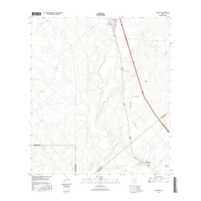 2016 Whitsett2016 Print · USGSSouth Texas ranching country comes into focus in this recent survey of the river-fed plains. Researchers can trace landownership and drainage patterns through the Atascosa River basin, Lipan Hills, and the settlements of Campbellton and Whitsett.
 - 2019 Map of Whitsett, 2019 Print
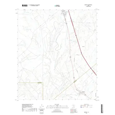 2019 Whitsett2019 Print · USGSSouth Texas ranching country is captured here during the late 2010s, anchored by the communities of Campbellton and Whitsett. Researchers can trace the drainage of the Atascosa River and locate family landmarks like the Tom Ranch Lake Number 1 and the Lipan Hills.
 - 2022 Map of Whitsett, 2022 Print
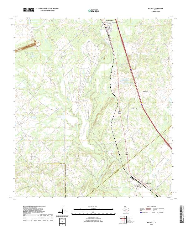 2022 Whitsett2022 Print · USGSIn the Brush Country of South Texas, this contemporary survey captures the rural crossroads and ranching lands of Atascosa County. Genealogists and local historians can trace the street grids of Campbellton and Whitsett or locate water sources like Tom Ranch Lake Number 1 and the Atascosa River.
End of results
Showing maps 1-13 of 13
Top cities near Campbellton
Frequently asked questions
- What are the different types of historical maps available for Campbellton?
- What is the oldest map of Campbellton?
- Where can I purchase historical maps of Campbellton for my home or office?
- Where can I download high-res historical maps of Campbellton?
- Are there historical topographic maps available for Campbellton?
- Is there historical aerial imagery available for Campbellton?
- Where are historical maps of Campbellton sourced from?