Old Maps of Krebsville, Texas for Academic Research
Study the evolution of Krebsville with 10 high-resolution historic maps. Whether you're teaching, researching, or modeling changes in land use, these maps provide essential visual documentation of urban, environmental, and geographic change.
- Analyze long-term change: Track patterns in development, transportation, and natural features.
- Ideal for environmental or urban studies: Support academic projects with primary historical map data.
- Use in the classroom or lab: Educators and researchers rely on these maps to bring historical context to life.
These maps are a powerful tool for teaching, research, and visualizing how Krebsville has changed over the decades.
Krebsville, TX maps
(10)- 1919 Map of Fayettsville
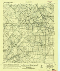 1919 Fayettsville1919 Print · USGSFayette and Colorado counties are captured here in the years following the Great War, showing a landscape defined by the railroad and the river. Researchers can trace the routes of the Missouri Kansas and Texas Railway to historic hubs like Fayetteville and Ellinger.
 - 1953 Map of Seguin, 1965 Print
 1953 Seguin1965 Print · USGSSouth Texas in the early fifties shows a thriving river-and-rail economy across the Guadalupe and Colorado basins. Genealogists and historians can trace rail routes like the Southern Pacific through Seguin, locate oil wells, or find the Gary AAF near San Marcos.4 unique versions available
 - 1958 Map of Seguin
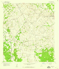
 1958 Seguin1958 Print · USGSSouth Texas in the late fifties was a network of river-valley settlements and active oilfields tied together by major rail lines. Genealogists and historians can trace family-named sites across Rabb Prairie, locate the Behring Store, or follow the Southern Pacific through Schulenburg.
 - 1958 Map of Industry, 1959 Print
 1958 Industry1959 Print · USGSThe Austin and Fayette county lines intersect in the late fifties, revealing a rural landscape of German settlements and family farms. Trace local heritage at Industry, New Ulm, and Cherry Chapel, or follow the MISSOURI KANSAS TEXAS rail line.
 - 1985 Map of Eagle Lake
 1985 Eagle Lake1985 Print · USGSSoutheast Texas in the mid-eighties shows a landscape defined by the Colorado River and a booming energy sector. Genealogists and historians can trace rail-tied towns like La Grange and Fayetteville or locate the Frelsburg Oil Field and Stephen F Austin State Park.2 unique versions available
 - 2010 Map of Industry, 2010 Print
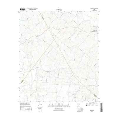
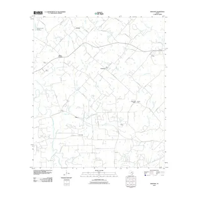 2010 Industry2010 Print · USGSCovers Krebsville, including Industry, Willow Springs, and other nearby areas
 - 2013 Map of Industry, 2013 Print
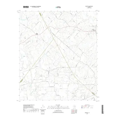
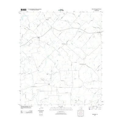 2013 Industry2013 Print · USGSCovers Krebsville, including Industry, Willow Springs, and other nearby areas
 - 2016 Map of Industry, 2016 Print
 2016 Industry2016 Print · USGSCovers Krebsville, including Industry, Willow Springs, and other nearby areas
 - 2019 Map of Industry, 2019 Print
 2019 Industry2019 Print · USGSCovers Krebsville, including Industry, Willow Springs, and other nearby areas
 - 2022 Map of Industry, 2022 Print
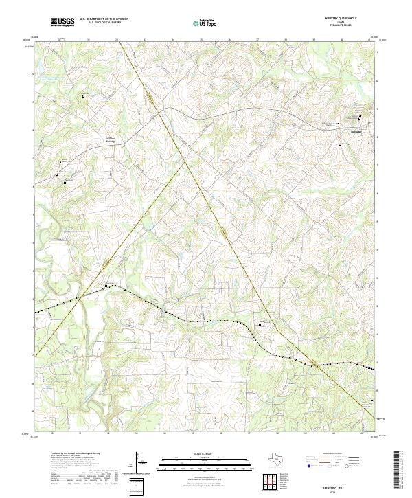 2022 Industry2022 Print · USGSThe rural Texas landscape around Industry and Willow Springs is captured here at the start of the 2020s. Genealogists can trace family heritage through numerous sites like Industry Brethren Church Cem, Pagel Cem, and the Austin County Paupers Cem Number Two.
End of results
Showing maps 1-10 of 10
Top cities near Krebsville
- Brenham historical maps
- Burton historical maps
- Industry historical maps
- Fayetteville historical maps
- Carmine historical maps
- Ellinger historical maps
See more
Frequently asked questions
- What are the different types of historical maps available for Krebsville?
- What is the oldest map of Krebsville?
- Where can I purchase historical maps of Krebsville for my home or office?
- Where can I download high-res historical maps of Krebsville?
- Are there historical topographic maps available for Krebsville?
- Is there historical aerial imagery available for Krebsville?
- Where are historical maps of Krebsville sourced from?