Old Maps of Antioch, Texas for Genealogy
Trace your family roots with 13 historic maps of Antioch. These high-res maps reveal old neighborhoods, homesites, landmarks, and streets — helping you uncover where your ancestors lived and how the area evolved over time.
- Explore historic neighborhoods: Identify where your relatives may have lived in the 1800s or 1900s.
- Compare maps over time: Trace the changes in streets, buildings, and landmarks for multi-generational research.
- Perfect for genealogy & ancestry research: Used by family historians and researchers to map out lineage and migration.
These maps are an incredible resource for exploring your personal connection to Antioch's past.
Antioch, TX maps
(13)- 1885 Map of Bastrop
 1885 Bastrop1885 Print · USGSCentral Texas was undergoing a rail-driven transformation in the late nineteenth century as steam power connected the frontier to the Gulf. Genealogists can trace family names and old homesites near Rice's Crossing, Hills Prairie, and along the vital Houston and Texas Central Railroad.
 - 1893 Map of Bastrop
 1893 Bastrop1893 Print · USGSBastrop and the Colorado River valley are captured here in the late nineteenth century as the railroad transformed the Texas interior. Researchers can trace early property lines and community centers like Lexington, McDade, and the high vistas of the Yegua Knobs.
 - 1904 Map of Bastrop
 1904 Bastrop1904 Print · USGSBastrop and Smithville thrive along the Colorado River at the turn of the century, serving as vital hubs for the Texas interior. Trace ancestral roots and old transport routes through Nashs Ferry, the Coal Mine near Sayersville, and Colorado Chapel.3 unique versions available
 - 1948 Map of Smithville, 1956 Print
 1948 Smithville1956 Print · USGSBastrop and Fayette counties are captured here shortly after the war, showing the footprint of military expansion alongside traditional river life. Genealogists can locate family landmarks like Milton Chapel Cem, Crafts Prairie Sch, and the rural community of Paige.2 unique versions available
 - 1950 Map of Smithville
 1950 Smithville1950 Print · USGSBastrop and Fayette Counties come into focus at the dawn of the fifties, centered on the Colorado River and the busy rail hub of Smithville. Genealogists can trace family roots through numerous rural landmarks like Crafts Prairie Sch, Goebel Store, and St Michaels Cem and Ch.
 - 1954 Map of Austin, 1964 Print
 1954 Austin1964 Print · USGSCentral Texas is captured during a period of steady growth as the capital city and its neighboring farm towns began to modernize. Researchers can trace historic rail corridors like the Southern Pacific RR or locate landmarks such as Bergstrom Air Force Base and Pilot Knob.4 unique versions available
 - 1982 Map of Smithville
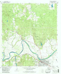 1982 Smithville1982 Print · USGSBastrop County at the start of the 1980s shows a landscape where the river-and-rail economy of the Colorado River meets the expanding Bastrop State Park. Genealogists and historians can trace old family sites like Hardeman Bend, Claiborne Cem, and the path of the historic Gotier Trace.2 unique versions available
 - 1985 Map of Austin
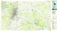 1985 Austin1985 Print · USGSCentral Texas in the mid-eighties reveals a region in transition, balancing rapid urban growth in Austin with deep-rooted rural landscapes. Genealogists and historians can trace family locations near St Johns Ch, the Science Hall schoolhouse, and long-standing communities like Webberville and Manchaca.3 unique versions available
 - 2010 Map of Smithville, 2010 Print
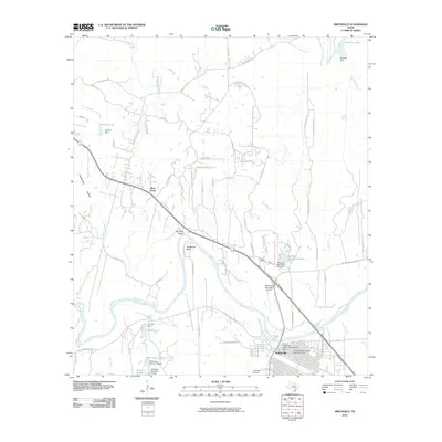 2010 Smithville2010 Print · USGSSmithville and its surrounding river valley are captured here just after the first decade of the millennium. Local historians can trace the bounds of the Smithville Commercial Historic District or locate family plots at Powell Cemetery and Thompson Cemetery.
 - 2013 Map of Smithville, 2013 Print
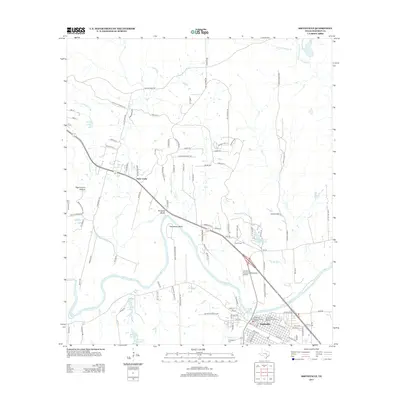 2013 Smithville2013 Print · USGSSmithville and the surrounding Bastrop County river bottom are detailed in this recent survey. Local historians can trace the preserved Smithville Commercial Historic District or locate family sites near the Thompson Cem and the settlement of Alum Creek.
 - 2016 Map of Smithville, 2016 Print
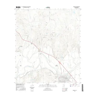 2016 Smithville2016 Print · USGSBastrop County in the mid-2010s reveals a landscape shaped by the winding Colorado River and the growing town of Smithville. Researchers can locate family landmarks such as Thompson Cem, the Kennedy Bluffs, and the rural community of Alum Creek.
 - 2019 Map of Smithville, 2019 Print
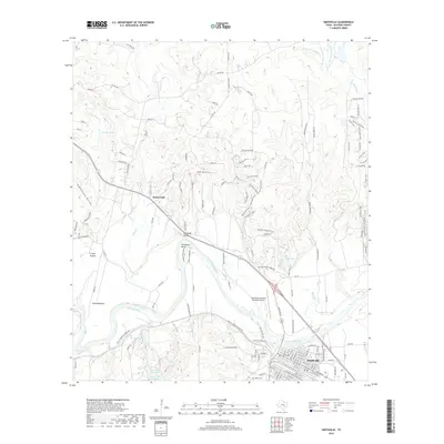 2019 Smithville2019 Print · USGSSmithville and its surrounding river bends are documented here in the late 2010s. Researchers can trace land patterns near Kennedy Bluffs, locate the Gazley Cem, and explore the reach of Alum Creek as it flows toward the Colorado River.
 - 2022 Map of Smithville, 2022 Print
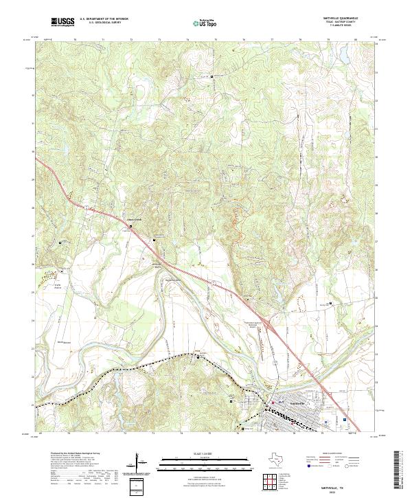 2022 Smithville2022 Print · USGSThe Colorado River valley near Smithville appears in high detail in the early 2020s, showing a landscape defined by its river bends and rural heritage. Genealogists can trace family history through sites like the Burleson Burial Ground and Adams Morris Thompson Cem.
End of results
Showing maps 1-13 of 13
Top cities near Antioch
- Elgin historical maps
- Bastrop historical maps
- Giddings historical maps
- Smithville historical maps
- Circle D-KC Estates historical maps
- Rosanky historical maps
See more
Frequently asked questions
- What are the different types of historical maps available for Antioch?
- What is the oldest map of Antioch?
- Where can I purchase historical maps of Antioch for my home or office?
- Where can I download high-res historical maps of Antioch?
- Are there historical topographic maps available for Antioch?
- Is there historical aerial imagery available for Antioch?
- Where are historical maps of Antioch sourced from?