Old Maps of Willman, Texas for Academic Research
Study the evolution of Willman with 10 high-resolution historic maps. Whether you're teaching, researching, or modeling changes in land use, these maps provide essential visual documentation of urban, environmental, and geographic change.
- Analyze long-term change: Track patterns in development, transportation, and natural features.
- Ideal for environmental or urban studies: Support academic projects with primary historical map data.
- Use in the classroom or lab: Educators and researchers rely on these maps to bring historical context to life.
These maps are a powerful tool for teaching, research, and visualizing how Willman has changed over the decades.
Willman, TX maps
(10)- 1901 Map of Flatonia
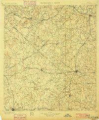 1901 Flatonia1901 Print · USGSCentral Texas at the turn of the century shows a landscape defined by the railroad and distinct ethnic communities. Trace family roots in the Bohemian Settlement or Negro Settlement, and locate early sites like Old Redrock and Old Flatonia.2 unique versions available
 - 1953 Map of Seguin, 1965 Print
 1953 Seguin1965 Print · USGSSouth Texas in the early fifties shows a thriving river-and-rail economy across the Guadalupe and Colorado basins. Genealogists and historians can trace rail routes like the Southern Pacific through Seguin, locate oil wells, or find the Gary AAF near San Marcos.4 unique versions available
 - 1958 Map of Seguin
 1958 Seguin1958 Print · USGSSouth Texas in the late fifties was a network of river-valley settlements and active oilfields tied together by major rail lines. Genealogists and historians can trace family-named sites across Rabb Prairie, locate the Behring Store, or follow the Southern Pacific through Schulenburg.
 - 1964 Map of Rosanky, 1967 Print
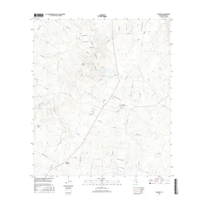
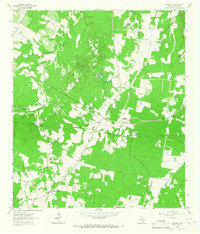 1964 Rosanky1967 Print · USGSThe community of Rosanky is captured here in the mid-1960s, showing the intersection of rail transport and rural Texas life. Researchers can trace the path of the Missouri Kansas Texas railroad and locate family sites like St Marys Cem and Young Cem.2 unique versions available
 - 1985 Map of Seguin, 1986 Print
 1985 Seguin1986 Print · USGSCentral Texas in the mid-1980s is defined by its vital oil industry and the crossroads of major interstate and rail networks. Genealogists and historians can trace the development of Luling Oil Field, identify the site of Old Flatonia, or locate family landmarks near St James and Palmetto State Park.2 unique versions available
 - 2010 Map of Rosanky, 2010 Print
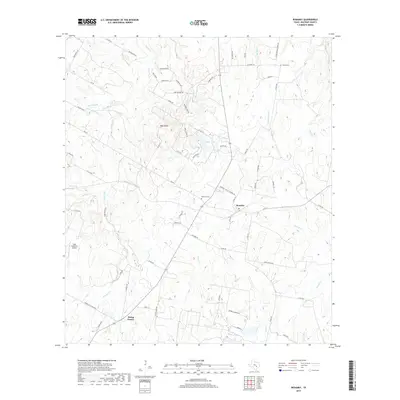
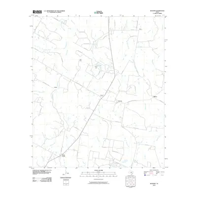 2010 Rosanky2010 Print · USGSCovers Willman, including Rosanky, Jordan, and other nearby areas
 - 2013 Map of Rosanky, 2013 Print
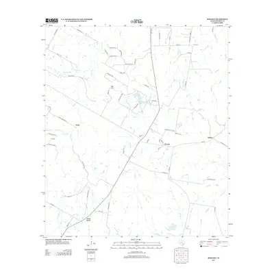 2013 Rosanky2013 Print · USGSCovers Willman, including Rosanky, Jordan, and other nearby areas
 - 2016 Map of Rosanky, 2016 Print
 2016 Rosanky2016 Print · USGSCovers Willman, including Rosanky, Jordan, and other nearby areas
 - 2019 Map of Rosanky, 2019 Print
 2019 Rosanky2019 Print · USGSCovers Willman, including Rosanky, Jordan, and other nearby areas
 - 2022 Map of Rosanky, 2022 Print
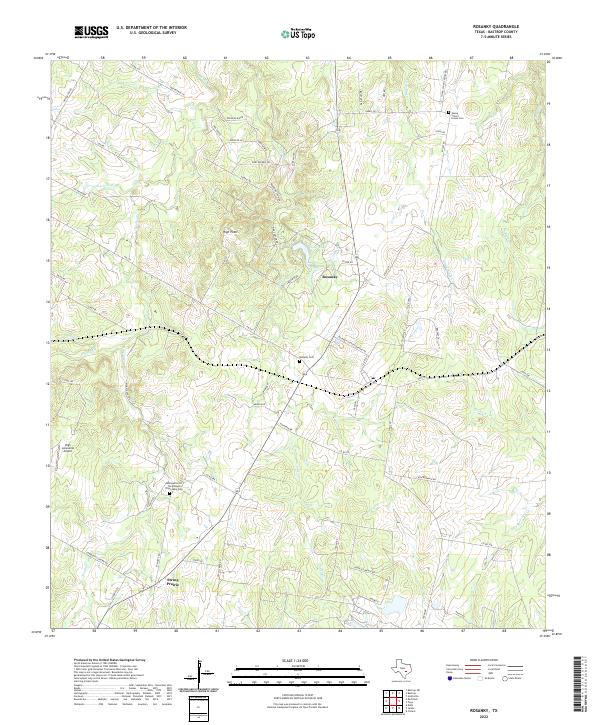 2022 Rosanky2022 Print · USGSBastrop County in the early twenty-first century remains a landscape of quiet rural communities and family-named landmarks. Genealogists can trace roots at Rosanky Cem or Young School House Cem while locating old routes like FM 535.
End of results
Showing maps 1-10 of 10
Top cities near Willman
- Bastrop historical maps
- Smithville historical maps
- Circle D-KC Estates historical maps
- Rosanky historical maps
- Alum Creek historical maps
Frequently asked questions
- What are the different types of historical maps available for Willman?
- What is the oldest map of Willman?
- Where can I purchase historical maps of Willman for my home or office?
- Where can I download high-res historical maps of Willman?
- Are there historical topographic maps available for Willman?
- Is there historical aerial imagery available for Willman?
- Where are historical maps of Willman sourced from?