Old Maps of Balcones Heights, Texas for Academic Research
Study the evolution of Balcones Heights with 21 high-resolution historic maps. Whether you're teaching, researching, or modeling changes in land use, these maps provide essential visual documentation of urban, environmental, and geographic change.
- Analyze long-term change: Track patterns in development, transportation, and natural features.
- Ideal for environmental or urban studies: Support academic projects with primary historical map data.
- Use in the classroom or lab: Educators and researchers rely on these maps to bring historical context to life.
These maps are a powerful tool for teaching, research, and visualizing how Balcones Heights has changed over the decades.
Balcones Heights, TX maps
(21)- 1953 Map of San Antonio West, 1959 Print
 1953 San Antonio West1959 Print · USGSSan Antonio's western suburbs and massive military installations are captured in the early fifties, just as the city's post-war expansion began to accelerate. Genealogists and local historians can trace hundreds of city blocks, dozens of neighborhood schools like Jefferson High Sch, and major landmarks including St Marys University of Texas and Lackland Air Force Base.
 - 1953 Map of Castle Hills, 1959 Print
 1953 Castle Hills1959 Print · USGSBexar County landscape is shown here in the mid-fifties as San Antonio's northern suburban growth begins to overtake rural ranch lands. Researchers can trace the development of Castle Hills and Shavano Park alongside legacy sites like Stowers Ranch and the Lockhill Sch.
 - 1954 Map of San Antonio, 1964 Print
 1954 San Antonio1964 Print · USGSSan Antonio and the Texas Hill Country are captured here in the mid-fifties, showing a landscape defined by massive military air bases and the rising Canyon Reservoir. Trace family ties through historic rail towns like D'Hanis and Castroville or explore the Cold War footprint of Lackland AFB and Randolph AFB.3 unique versions available
 - 1957 Map of San Antonio
 1957 San Antonio1957 Print · USGSSan Antonio and the Texas Hill Country are shown here during the mid-fifties, capturing the region's expanding post-war military and transportation footprint. Genealogists and local historians can trace the early residential boundaries of Alamo Heights or locate rural landmarks like St Hedwig and Medina Lake.
 - 1967 Map of Castle Hills, 1969 Print
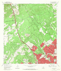 1967 Castle Hills1969 Print · USGSBexar County was undergoing a massive suburban transformation in the late sixties as the city limits moved north toward the military lands. Genealogists and local historians can trace the development of Oakland Estates, locate the Locke Hill Cemetery, and see the early footprint of the SW Texas Medical Center.2 unique versions available
 - 1967 Map of San Antonio West, 1970 Print
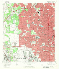 1967 San Antonio West1970 Print · USGSMid-century San Antonio is captured here during a period of massive military and suburban expansion. Researchers can trace the sprawling footprints of Lackland Air Force Base, old educational landmarks like Peacock Military Academy, and the early development of Leon Valley.3 unique versions available
 - 1985 Map of New Braunfels
 1985 New Braunfels1985 Print · USGSThe Texas Hill Country meets the growing San Antonio suburbs in the mid-1980s, showing a landscape of river-fed towns and military grounds. Trace family roots in historic Gruene or Boerne, and locate landmarks like Canyon Lake and Randolph Air Force Base.
 - 1985 Map of San Antonio
 1985 San Antonio1985 Print · USGSSan Antonio and its surrounding hill country are captured in the mid-eighties during a period of significant suburban and military expansion. Genealogists and historians can trace the footprint of Kelly Air Force Base, old rail lines like the Missouri-Kansas-Texas, and smaller communities like Saspamco or Zuehl.3 unique versions available
 - 1992 Map of New Braunfels
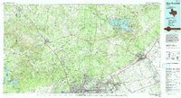 1992 New Braunfels1992 Print · USGSThe San Antonio and New Braunfels corridor was expanding rapidly in the early nineties, balancing heavy military presence with Hill Country recreation. Trace the footprint of CAMP BULLIS MILITARY RESERVATION or locate old railroad stops along the Southern Pacific and Missouri Pacific lines.2 unique versions available
 - 1992 Map of Castle Hills, 1993 Print
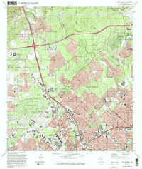 1992 Castle Hills1993 Print · USGSNorthern Bexar County in the early nineties shows a landscape of rapid suburban growth and institutional expansion. Genealogists and historians can trace neighborhood development alongside local landmarks like Locke Hill Sch, St Francis Ch, and the Olga Site.2 unique versions available
 - 1993 Map of San Antonio West
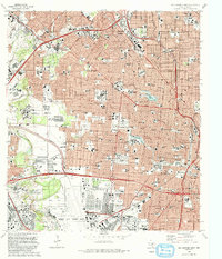 1993 San Antonio West1993 Print · USGSThe western expansion of the city in the early nineties reveals a landscape defined by military aviation and dense community institutions. Trace the heritage of prominent sites like Our Lady of the Lake University, Lackland Air Force Base, and the historic San Fernando Cem No 2.
 - 2010 Map of San Antonio West, 2010 Print
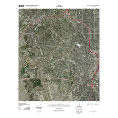 2010 San Antonio West2010 Print · USGSWestern San Antonio in the early twenty-first century shows a landscape where historic neighborhoods meet modern infrastructure. Researchers can locate long-standing institutions like Saint Marys University, the Union Stock Yards, and San Fernando Cemetery Number 2.
 - 2010 Map of Castle Hills, 2010 Print
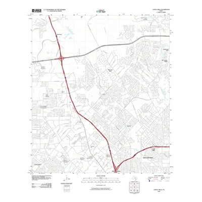 2010 Castle Hills2010 Print · USGSBexar County at the start of the 2010s shows the rapid northward growth of the San Antonio metro area along the major highway loops. Researchers can trace institutional footprints from the University of Texas at San Antonio to the historic Locke Hill Cemetery.
 - 2013 Map of San Antonio West, 2013 Print
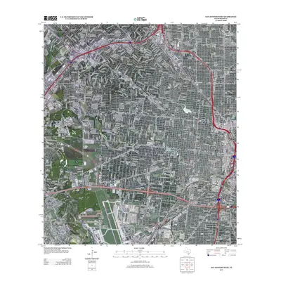 2013 San Antonio West2013 Print · USGSWestern San Antonio in the early twenty-first century reveals a dense urban landscape shaped by military aviation and institutional growth. Researchers can trace the massive footprint of Lackland Air Force Base and historic sites like the Union Stock Yards or St Marys Univ.
 - 2013 Map of Castle Hills, 2013 Print
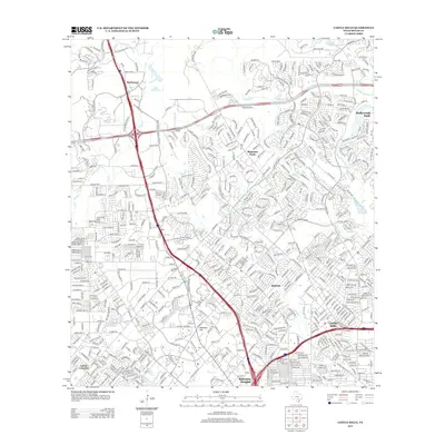 2013 Castle Hills2013 Print · USGSSuburban Bexar County comes into sharp focus during a period of rapid 21st-century growth north of San Antonio. Researchers can trace established residential neighborhoods and major transit hubs near Castle Hills, Shavano Park, and the historic Hill Cem.
 - 2016 Map of San Antonio West, 2016 Print
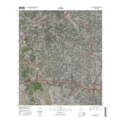 2016 San Antonio West2016 Print · USGSSan Antonio and Leon Valley are shown during a period of modern expansion, featuring a dense network of suburban streets and established institutions. Researchers can pinpoint San Fernando Cemetery Number 1, St Marys University, and Woodlawn Lake.
 - 2016 Map of Castle Hills, 2016 Print
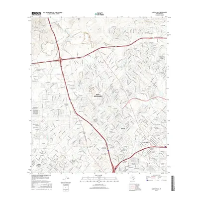 2016 Castle Hills2016 Print · USGSThe northern reaches of San Antonio are captured in detail during this period of significant suburban development. Genealogists and local historians can trace family-named sites and institutions from Locke Hill Cem to the Oblate Sch of Theology and the sprawling UTSA Main Campus.
 - 2019 Map of San Antonio West, 2019 Print
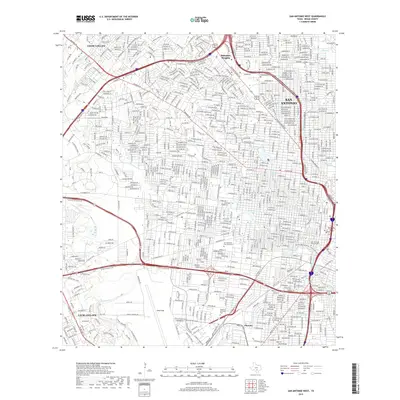 2019 San Antonio West2019 Print · USGSWestern San Antonio in the modern era shows a dense urban fabric shaped by military legacy and complex creek systems. Researchers can trace the footprints of Lackland AFB, the grounds of San Fernando Cem Number 2, and the waters of Elmendorf Lake.
 - 2019 Map of Castle Hills, 2019 Print
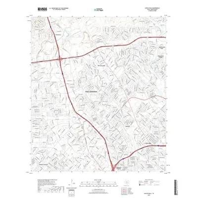 2019 Castle Hills2019 Print · USGSThe northern suburbs of San Antonio appear in high detail during this late twenty-tens survey. Researchers can trace the development of incorporated towns like Shavano Park and Castle Hills or locate family history at the Locke Hill Cem.
 - 2022 Map of San Antonio West, 2022 Print
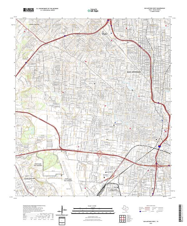 2022 San Antonio West2022 Print · USGSWestern San Antonio and Leon Valley are shown in the twenty-first century as a landscape of historic universities and sprawling air bases. Researchers can trace local heritage through San Fernando Cem Number 2 or the grounds of Saint Mary's University.
 - 2023 Map of Castle Hills, 2023 Print
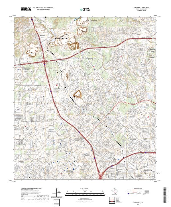 2023 Castle Hills2023 Print · USGSNorthern San Antonio suburbs and institutional campuses flourish in the early twenty-first century. Researchers can locate family burial sites like Bacon - Beckmann Cem and the Evers Family Cem among the modern expansion of Shavano Park.
End of results
Showing maps 1-21 of 21
Top cities near Balcones Heights
- San Antonio historical maps
- Universal City historical maps
- Converse historical maps
- Live Oak historical maps
- Leon Valley historical maps
- Selma historical maps
See more
Frequently asked questions
- What are the different types of historical maps available for Balcones Heights?
- What is the oldest map of Balcones Heights?
- Where can I purchase historical maps of Balcones Heights for my home or office?
- Where can I download high-res historical maps of Balcones Heights?
- Are there historical topographic maps available for Balcones Heights?
- Is there historical aerial imagery available for Balcones Heights?
- Where are historical maps of Balcones Heights sourced from?